
The depopulated village of Yibna / District of Ramla
About the depopulated village of Yibna
- District
- Ramla
- Date Yibna was occupied
- 04 June 1948
- Population in 1948
- 6,290
- Military operation
- Operation Barak
- Who defended the village
- Egyptian Army
- Elevation above sea level
- 25 m
- Cause of displacement
- Expulsion by Zionist troops
- Extent of destruction
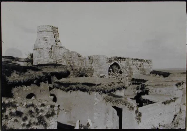
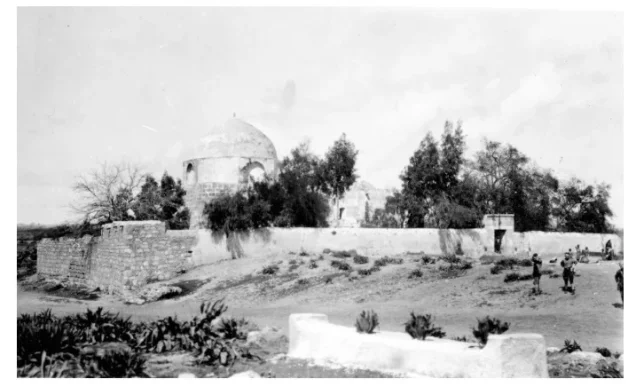
- Yibna was mostly destroyed with the exception of couple of houses and the village mosque.
- Ethnic cleansing
- Yibna inhabitants were completely ethnically cleansed.
Hover a dot to read the village name, or click to open its card.
Borders of the depopulated village of Yibna
Yibna was a large Palestinian village—more closely resembling a small town—in the Ramla Subdistrict. It stood about 25 metres above sea level and was occupied and depopulated in early June 1948. The official British Mandate statistics recorded 5,420 inhabitants in 1945, while later estimates placed its population at approximately 6,287 in 1948. Some accounts also refer to about 1,500 nomadic Bedouins living in the surrounding area; these residents were not included in Yibna's official settled population.
| Field | Information |
|---|---|
| Subdistrict | al-Ramla |
| Distance from al-Ramla | Approximately 15 km southwest of the city |
| Average Elevation | Approximately 25 meters above sea level |
| Population in 1931 | 3,600 inhabitants |
| Number of Houses in 1931 | 794 inhabited houses |
| Population in 1944/1945 | 5,420 inhabitants |
| Estimated Population in 1948 | Approximately 6,287 inhabitants – a later demographic estimate, not an official census |
| Total Land Area in 1945 | 59,554 dunams |
| Attack and Depopulation | 4–5 June 1948; Yibna was subjected to mortar and artillery fire as Israeli forces advanced on the village. Most of its Palestinian inhabitants were displaced southward toward communities on the road to Gaza, while the elderly residents who remained were subsequently expelled |
| Final Israeli Control | 4–5 June 1948; sources differ between 4 June and the night of 4–5 June for the initial capture. Fighting and an Egyptian attempt to retake the village were reported on 5 June, after which it remained under Israeli control |
| Military Operation | Second stage of Operation Barak |
| Military Unit that Attacked Yibna | Giv'ati Brigade; the principal sources consulted here do not reliably identify a specific battalion as responsible for the final assault on Yibna |
| Cause of Depopulation | Direct military attack and shelling, fear generated by the advancing Israeli forces, followed by the expulsion of those who remained; a contemporary intelligence report classifies the depopulation as resulting from occupation and expulsion |
| Settlements Documented on Village Lands | Yavne and Beyt Rabban were established on lands traditionally considered part of Yibna before the Nakba; after 1948, Yavne, Kefar ha-Nagid and Beyt Gamli'el were established in 1949, Ben Zakkay in 1950, Kefar Aviv in 1951, and Tzofiyya in 1955; the Kerem Yavne educational institution was established in 1963 |
Location of Yibna
The village stood on the coastal plain, approximately 7.5 kilometres east of the Mediterranean Sea. It was an important transport junction linking southern Palestine with the central western region. Yibna had a station on the Gaza–Lydda railway, and the main Gaza–Jaffa road passed through its lands.
Geography of Yibna
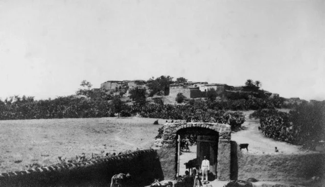
Yibna was built partly of stone on a hill in the coastal plain, about 7.5 kilometres east of the Mediterranean Sea. Its position made it a central transport junction: the village had a railway station on the Gaza–Lydda line, while the Gaza–Jaffa highway crossed its lands.
Its lands bordered those of al-Nabi Rubin, al-Qubayba, Zarnuqa, Arab Suqrir, Bashshit, Isdud, and al-Maghar. The site included an archaeological mound beneath the village, together with foundations, architectural fragments, and burial remains.
Population of Yibna
Yibna was among the largest villages in the Ramla Subdistrict and functioned in many respects as a small town. Its population was predominantly Muslim. The official 1945 survey recorded 5,400 Muslims and 20 Christians, for a total settled population of 5,420. Later retrospective estimates place the population at approximately 6,287 in 1948. Accounts also mention roughly 1,500 nomadic Bedouins living around Yibna, but they were counted separately from the settled village population.
Population Figures for Yibna
- 1596710
- 1834Approximately 3,000
- 19221,791
- 19313,600
- 19455,420
- 1948 estimateApproximately 6,287
- Estimated refugees and descendants, 199838,610
* The 1948 and 1998 figures are retrospective estimates rather than official censuses. Estimates vary between sources.
Number of Houses in Yibna
- 1931794
- 1948 estimate1,386
* The figure for 1931 comes from the official census; the 1948 figure is a later estimate.
Mosques and Religious Shrines in Yibna
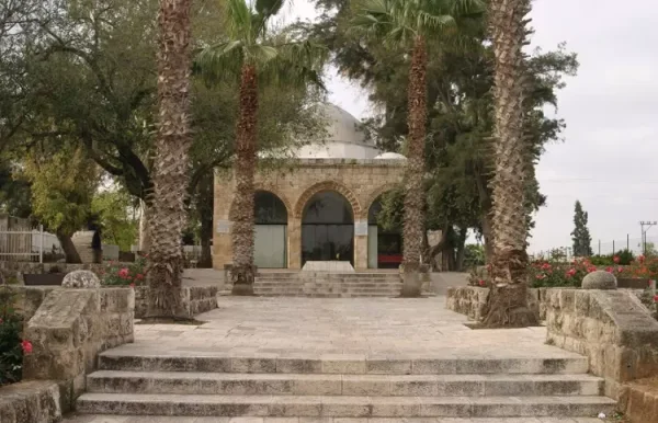
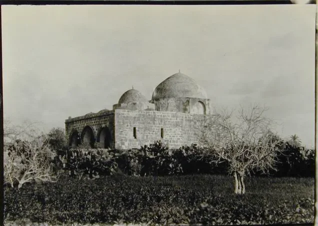
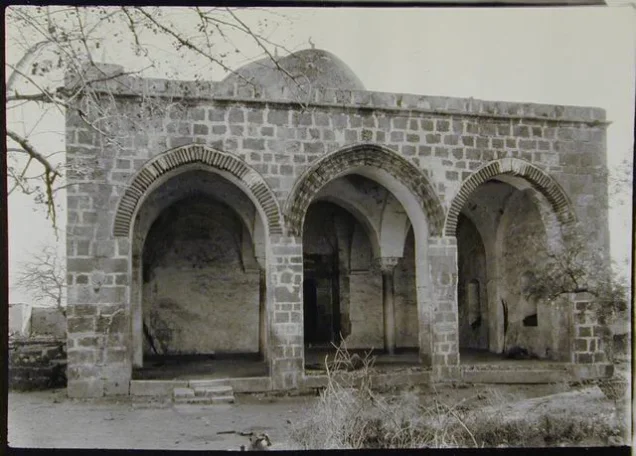
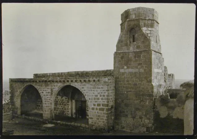
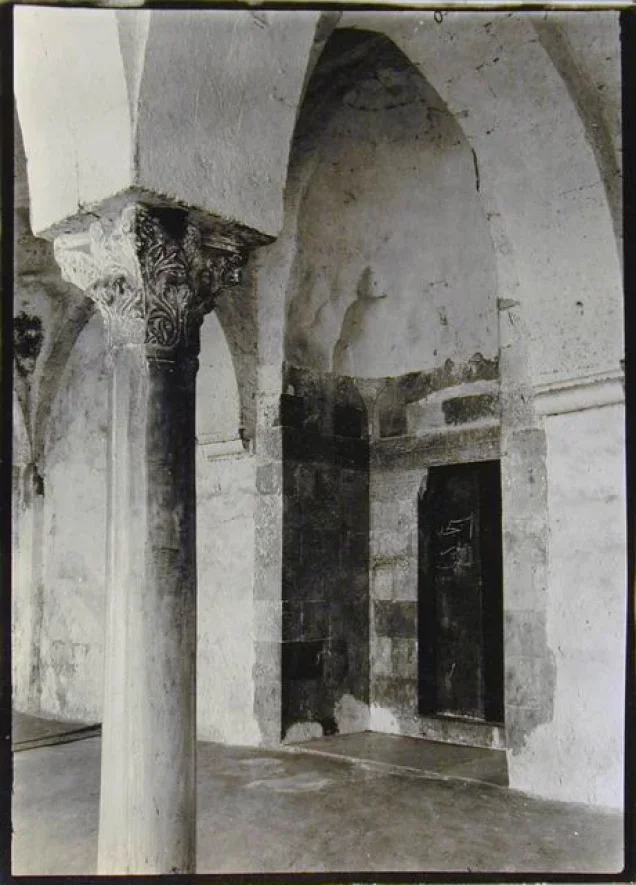
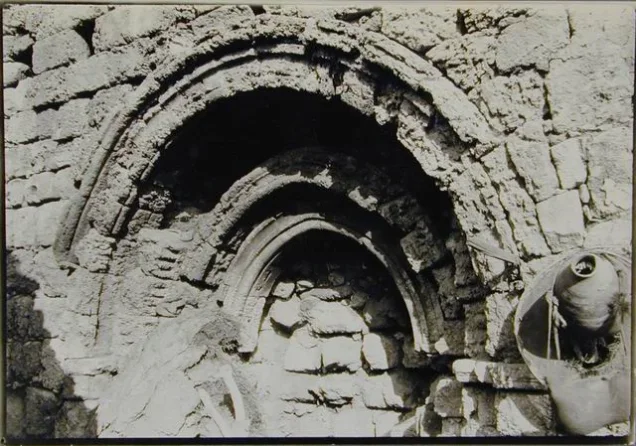
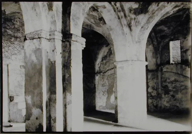
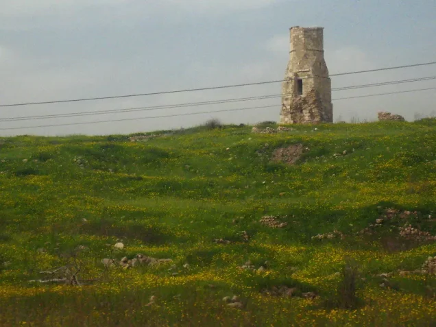
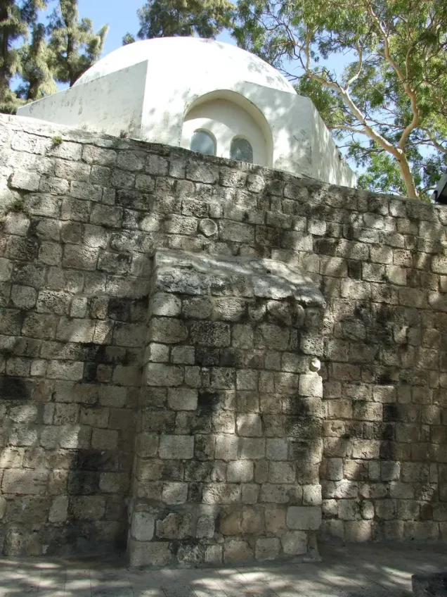
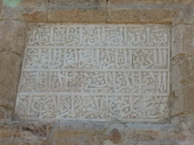
Yibna had two principal Muslim religious buildings. The first was associated with the shrine of Abu Hurayra and was later used for schooling—initially for boys and subsequently for girls. The second was the village's Great Mosque. The structure incorporated a former Crusader church, while its surviving Mamluk minaret bears an inscription dating it to 1337. Sources identify the patron as Sayf al-Din Bashtak al-Nasiri, an amir of Sultan al-Nasir Muhammad ibn Qalawun. Local testimonies report that the Great Mosque was repaired during the Mandate period and that the minaret was heightened or restored in 1935 by the builder Ahmad Natat.
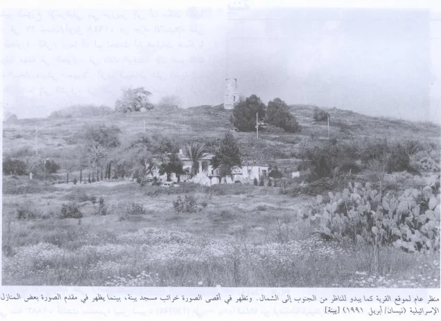
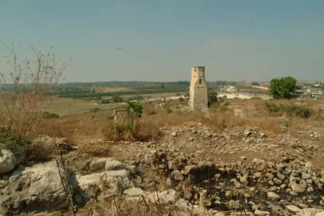
The upper part of the minaret was damaged during the 1948 war. The mosque itself was later destroyed, while part of the minaret remains. Because the available sources differ on some architectural dates and details, the inscription date of 1337 is the most securely documented chronological reference.
Education in Yibna
Yibna had two elementary schools: one for boys and one for girls.
The boys' school was founded in 1921 and initially operated in the Abu Hurayra mosque before moving to a separate building; the former premises were subsequently used for the girls' school. In 1936, a new eleven-room building was reportedly constructed for the boys' school. It had approximately thirty dunams of land, part of which was used for practical agricultural education, including poultry keeping and beekeeping. By 1941 the school offered a complete elementary programme through the seventh grade. In the 1941–42 academic year, it enrolled 445 pupils from Yibna and neighbouring villages and employed fourteen teachers. Local accounts state that six headmasters administered the school between its establishment and the Nakba.
The girls' school was founded in 1943 through local community support. By 1948, it enrolled 44 pupils.
Near the end of the British Mandate, residents petitioned the Department of Education to add a secondary class. Approval was reportedly made conditional upon village representatives undertaking in writing to cover the expenses of that class and of any later secondary classes.
In 1947, residents began collecting donations to build a secondary school on a forty-dunam plot south of the village. Construction was completed the following year, but the occupation and depopulation of Yibna in 1948 prevented the school from opening for the 1948–49 academic year.
Yibna's Schools after the Nakba
The former elementary school was initially used as a school for Jewish children and was converted into a municipal building in 1980. The secondary-school building south of the village, completed around the time of the Nakba but never opened by Yibna's residents, was subsequently repurposed. Local accounts describe its later use as a detention or correctional facility; this specific function could not be independently confirmed in the principal reference sources consulted.
Health Services in Yibna
Medical services were initially provided by visiting teams that came once a week or when requested. A clinic opened in Yibna during the 1930s and offered basic treatment and first aid. Residents requiring more extensive care travelled to Jaffa or al-Majdal.
Economic Life in Yibna
Yibna had numerous springs and wells, and citrus growing was central to its economy. In 1944/45, 6,473 dunams were planted with citrus and bananas, 18,483 dunams were used for cereal cultivation, and 11,104 dunams were classified as plantation and irrigable land. Within the Palestinian-owned portion, 6,468 dunams were devoted to citrus and bananas, 15,124 dunams to cereals, and 11,091 dunams to irrigated land and orchards; 25 dunams were planted with olive trees.
Land Ownership in Yibna
- Palestinian ownership37,919 dunums64%
- Jewish ownership2,845 dunums5%
- Public land18,790 dunums32%
* One dunam equals approximately 1,000 square metres.
Land Use in Yibna, 1944/45
- Palestinian ownership (dunams)
- Jewish ownership (dunams)
- Public land (dunams)
- Cereal cultivation18,483 dunums
- Plantation and irrigable land11,104 dunums
- Citrus and bananas6,473 dunums
- Cultivable land36,060 dunums
- Uncultivated land23,367 dunums
- Built-up area127 dunums
- Total land area59,554 dunums
* One dunam equals approximately 1,000 square metres. Citrus and bananas form part of the plantation and irrigable category in some statistical presentations; they are shown separately here in accordance with the source table, without double-counting the cultivable-land total.
Archaeological and Religious Sites in Yibna
- The Great Mosque and Mamluk minaret: the minaret, dated by inscription to 1337, is one of the most prominent surviving architectural remains at the village site.
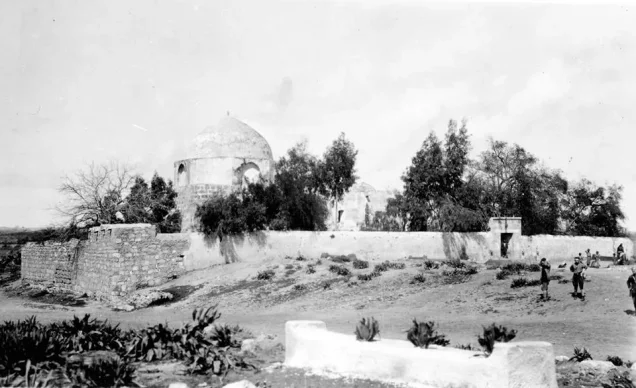
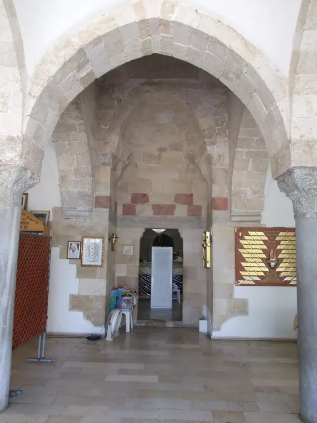
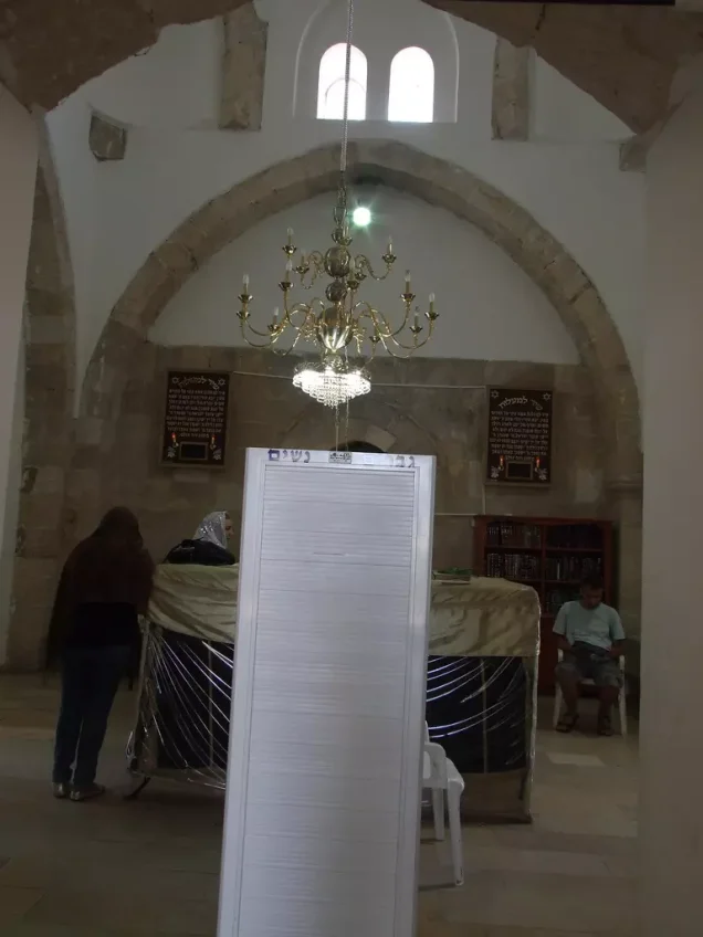
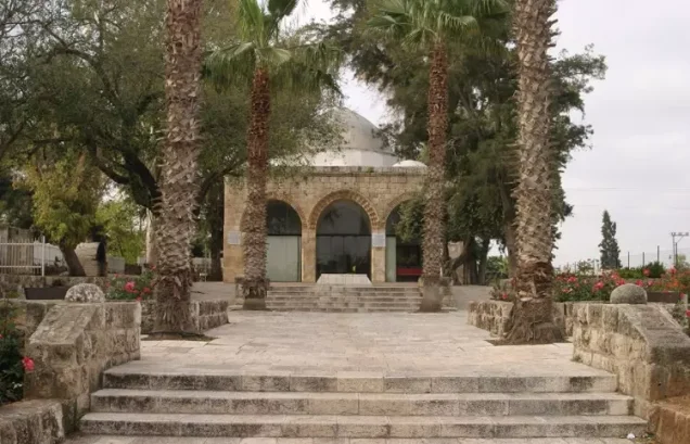
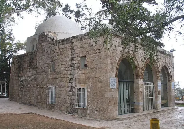
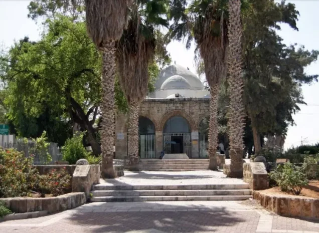
- The shrine associated with Abu Hurayra: Muslims traditionally identified the mausoleum as the tomb of Abu Hurayra. After 1948, the site was appropriated as a Jewish holy place and identified with Rabban Gamaliel of Yavne. The attribution of the tomb has long been contested.
Occupation and Depopulation of Yibna
Yibna was contested between Egyptian and Israeli forces during the first week of June 1948. Accounts differ over the precise circumstances and timing of its occupation. Israeli historian Benny Morris places the occupation on 4 June, during the second stage of Operation Barak, after mortar fire and a brief engagement; Israeli units reportedly entered a village from which most residents had already fled and expelled the remaining elderly inhabitants. Another Israeli military history states that Egyptian troops had not reached Yibna and that its inhabitants left after seeing Israeli troop concentrations, after which the village fell without fighting on the night of 4–5 June. Contemporary press reports likewise offered differing accounts, including a description of Israeli artillery fire followed by a commando advance as civilians fled toward the coast. The available evidence therefore supports an occupation and depopulation date of 4 June 1948, while acknowledging variations in the descriptions of the final assault.
Occupation and Depopulation Chronology
- Beginning in May 1948
Operation Barak
The Giv'ati Brigade, with other forces participating in parts of the operation, targeted Palestinian villages south and west of al-Ramla in an effort to expand military control and depopulate the area. Yibna was among the villages targeted.
- Late May 1948
Displacement from Surrounding Villages toward Yibna
As nearby Palestinian villages including Zarnuqa and al-Qubayba were occupied and their inhabitants expelled or displaced, some refugees moved toward Yibna and its surrounding area.
- 1 June 1948
Egyptian Military Presence in the Area
A military communiqué reported an Egyptian advance unit at or near Yibna, and the village became contested between Egyptian and Israeli forces during the first days of June.
- 4 June 1948
Shelling and Attack on Yibna
According to one of the accounts reproduced by Walid Khalidi, Israeli forces subjected Yibna to mortar fire, followed by a brief engagement and the entry of troops into the village.
- 4 June 1948
Displacement of the Palestinian Population
Most of Yibna's inhabitants fled or were displaced southward under the pressure of the attack, shelling, and advancing forces, moving toward Palestinian communities as far south as Gaza. A contemporary intelligence report records occupation and expulsion as the cause.
- 4 June 1948
Expulsion of Remaining Residents
One account states that a small number of elderly Palestinian men and women remained when the troops entered the village and were subsequently expelled.
- Night of 4–5 June 1948
Alternative Account of the Capture
Another account states that the inhabitants left after being frightened by the concentration of Israeli forces and that Yibna fell during the night of 4–5 June. The principal sources therefore differ by approximately one day over the precise timing and circumstances of the capture.
- 5 June 1948
Egyptian Counterattack
Contemporary press reports described an Egyptian attack on Yibna after it had come under Israeli control, while other dispatches reported that Israeli forces regained control of the village later the same day.
- 5 June 1948 onward
Final Israeli Control
Following the fighting of 4–5 June, Yibna remained under Israeli control and its Palestinian population was fully displaced in the course of the Nakba.
Israeli Settlements on Yibna's Lands
The following Israeli settlements and institutions were established on Yibna's traditional village lands:
- Yavne, established in 1941.
- Beit Rabban, established in 1946.
- A second locality recorded as Yavne, established in 1949.
- Kfar HaNagid, established in 1949.
- Beit Gamliel, established in 1949.
- Ben Zakkai, established in 1950.
- Kfar Aviv, established in 1951; its original name was Kfar HaYe'or.
- Tzofiyya, established in 1955.
- Kerem Yavne, an educational institution established in 1963.
Occupation and Depopulation Chronology
Yibna Today
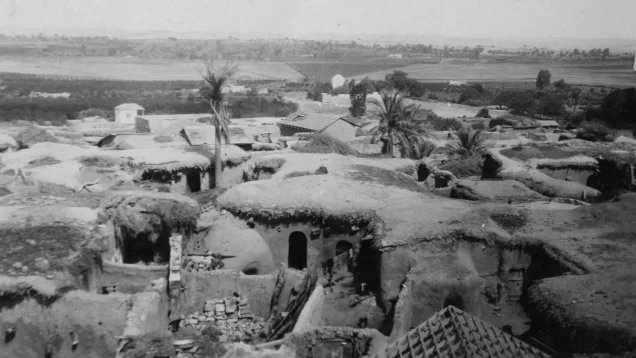
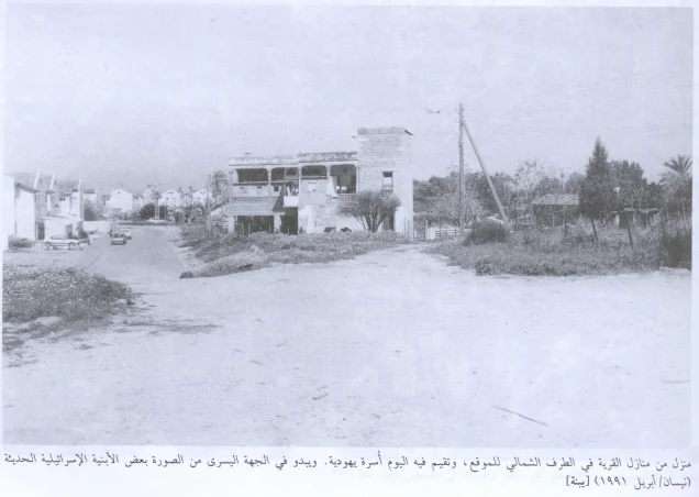
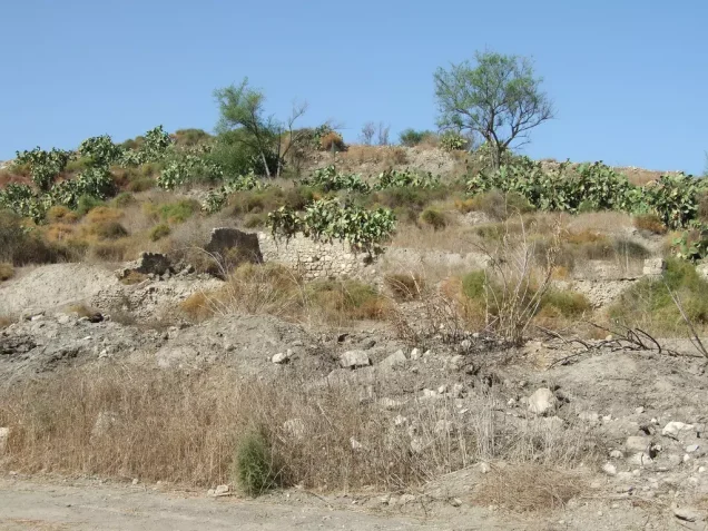
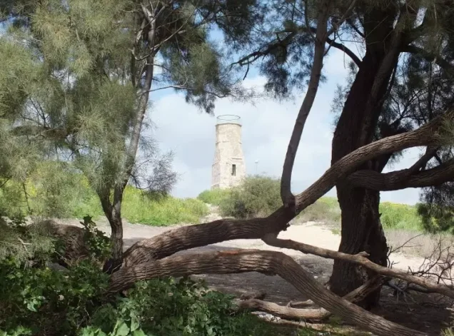
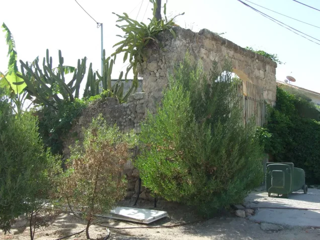
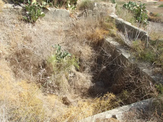
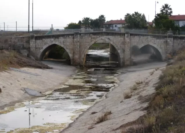
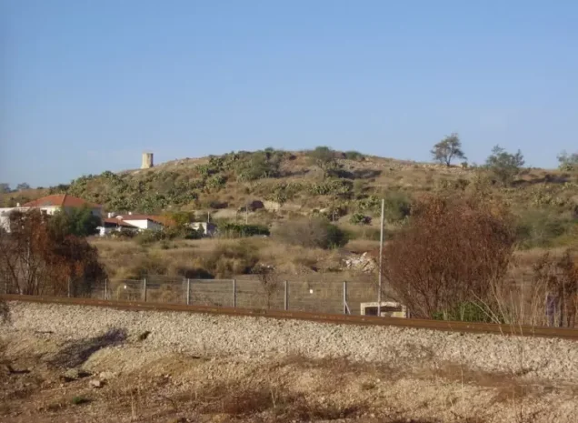
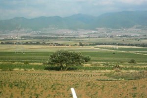
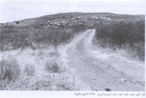
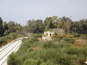
A railway line crosses the village site. The surviving remains include part of the mosque's minaret, a shrine, a well, and several houses. Published field descriptions report that at least two surviving houses were used by Jewish families and another by an Arab family at the time of documentation. The surrounding landscape has been substantially transformed by the expansion of modern Yavne and other Israeli localities established on Yibna's lands.
Sources
Photo gallery


Photos from the village's people
Photos sent in by visitors and published after review.
Add a photo of this village
Log in to add photos of this village.
Other villages from Ramla

More from the archive



 Download Our Palestine App
The whole archive in the palm of your hand: depopulated villages, the Nakba, the massacres and Al-Aqsa — free, with no ads to erase the story.
Download Our Palestine App
The whole archive in the palm of your hand: depopulated villages, the Nakba, the massacres and Al-Aqsa — free, with no ads to erase the story.



Comments
No comments yet — be the first to write one.
Add your comment
Name and email are optional. Comments appear after review.