
The depopulated village of Al-Birwa / District of Akka (Acre)

- Subdistrict: Acre
- Estimated population of al-Birwa in 1948: approximately 1,690
- Initial occupation: 11 June 1948
- Final occupation and depopulation: Around 15 July 1948
- Military operations: Operation Ben-Ami and Operation Dekel
- Military unit: Carmeli Brigade during the initial occupation; the precise unit responsible for the final occupation is not conclusively documented
- Israeli settlements established on the village’s lands before 1948: None
- Israeli settlements established on the village site or lands after 1948: Yas'ur and Ahihud
Introduction to al-Birwa
Al-Birwa was approximately 10.5 kilometres east of Acre.
The village was the birthplace of the prominent Palestinian poet Mahmoud Darwish.
Al-Birwa was a Palestinian village in the Acre Subdistrict. Its population immediately before the Nakba was estimated at approximately 1,690. The village was occupied, depopulated and largely destroyed during Israel’s occupation of Palestine—the Nakba.
Al-Birwa stood on a rocky hill that descended towards the Acre Plain. It was situated a short distance south-east of the junction of two major roads, one leading to Acre and the other towards Haifa. The village had a mosque, an Eastern Orthodox church and two schools. Agriculture formed the principal basis of its economy.
Boundaries of al-Birwa
Al-Birwa was situated among the following Palestinian villages and localities:
- To the north: Julis.
- To the north-west: al-Judayyida.
- To the north-east: Majd al-Krum.
- To the east: Sha'b.
- To the south and south-east: al-Damun.

Architectural Structure of al-Birwa
The village developed around two intersecting roads. Its older houses were built of stone and mud and commonly had roofs made of timber covered with mud. During the British Mandate, al-Birwa expanded substantially, and concrete roofs became increasingly common during the 1930s.
A well stood south of the village, while extensive olive groves and wheat fields lay mainly to the north. By the 1940s, the village contained approximately 300 houses, although the last official census count was 224 inhabited houses in 1931.
Economic Life in al-Birwa
Agriculture formed the mainstay of al-Birwa’s economy. Residents cultivated wheat, barley, maize, sesame and watermelons. In 1944/45, 8,457 dunams of Palestinian-owned land were allocated to cereal cultivation, while 1,548 dunams were irrigated or used for orchards. Approximately 1,500 dunams within the orchard area were planted with olive trees.
The villagers operated three olive presses: two powered by animals and one mechanical press. Livestock raising was also important; contemporary records indicate that residents owned approximately 600 cattle, 3,000 goats and 1,000 chickens.
Men and women both participated in agricultural production. Women collected water, tended livestock, processed dairy products, gathered herbs and transported produce to the markets of Acre. Men generally ploughed and sowed the fields, while both men and women took part in the olive and grain harvests.
Land Ownership in al-Birwa
| Ownership category | Land ownership (dunams)* |
|---|---|
| Palestinian ownership | 12,939 |
| Jewish ownership | 546 |
| Public land | 57 |
| Total | 13,542 |
* One dunam equals approximately 1,000 square metres.
Land Use in al-Birwa in 1945
| Land-use category | Palestinian ownership (dunams)* | Jewish ownership (dunams)* | Public land (dunams)* | Total (dunams)* |
|---|---|---|---|---|
| Irrigated land and orchards | 1,548 | 16 | 0 | 1,564 |
| Olive cultivation* | 1,500 | 0 | 0 | 1,500 |
| Cereal cultivation | 8,457 | 431 | 0 | 8,888 |
| Built-up area | 59 | 0 | 0 | 59 |
| Cultivable land | 10,005 | 447 | 0 | 10,452 |
| Uncultivated land | 2,875 | 99 | 57 | 3,031 |
* One dunam equals approximately 1,000 square metres. Olive cultivation was included within the broader orchard category and should not be added separately when calculating the total cultivable area.
Archaeological Remains near al-Birwa
Tall Bir al-Gharbi, an archaeological mound immediately west of the village, contained artefacts dating from approximately 2300 to 900 BCE. The mound may also have served as a source of dressed stone for the village’s buildings.
Additional archaeological evidence indicates occupation during the Roman, Byzantine, early Islamic, Crusader and Mamluk periods. The Persian traveller Nasir Khusraw referred to the village as Birwa in 1047, while Crusader sources called it Broet.
Population of al-Birwa
Ottoman tax records indicate an estimated population of 121 in 1596. A nineteenth-century estimate placed the population at approximately 900, while a population list compiled around 1887 recorded 755 residents: 650 Muslims and 105 Christians.
The official 1922 census recorded 807 residents, comprising 735 Muslims and 72 Christians. In 1931, the population increased to 996 people living in 224 houses.
In 1945, al-Birwa had 1,460 inhabitants: 1,330 Muslims and 130 Christians. The projected population immediately before the village’s final depopulation in 1948 was approximately 1,694, commonly rounded to 1,690.
| Year | Population* |
|---|---|
| 1596 estimate | 121 |
| Nineteenth-century estimate | Approximately 900 |
| 1922 | 807 |
| 1931 | 996 |
| 1945 | 1,460 |
| 1948 estimate | 1,694 |
| Estimated refugees and descendants in 1998 | 10,401 |
* The 1948 and 1998 figures are demographic estimates rather than contemporaneous census totals.
Number of Houses in al-Birwa
| Year | Number of houses |
|---|---|
| 1931 | 224 |
| 1948 estimate | Approximately 380 |
* The 1948 figure is a retrospective demographic estimate, not an official contemporaneous census count.
Public Facilities and Education in al-Birwa
During the 1940s, al-Birwa had three olive presses, a mosque, an Eastern Orthodox church and approximately 300 houses. It also had two elementary schools.
The boys’ school was established during the Ottoman period in 1882. A girls’ elementary school was founded in the 1942/43 academic year. These institutions served a religiously diverse Palestinian population composed predominantly of Muslims alongside a Christian minority.
Occupation and Depopulation of al-Birwa
On the eve of the first truce, Israeli forces sought to consolidate their positions in western Galilee by occupying the hills overlooking the coastal plain. Forces probably belonging to the Carmeli Brigade entered al-Birwa and occupied positions overlooking it on the morning of 11 June 1948, following Operation Ben-Ami.
According to testimonies collected from villagers, the initial confrontation took place between the occupying forces and a lightly armed local militia. Approximately forty-five elderly residents sheltered inside the church with the village priest. After suffering casualties and exhausting their ammunition, the defenders withdrew, and most inhabitants sought refuge in nearby villages.
After approximately thirteen days, villagers organised an effort to return and harvest their crops before they were lost. More than ninety-six men carrying rifles were joined by a similar number carrying farming tools and sticks, while women followed with water for the wounded. The villagers approached from three directions and forced the small occupying force to withdraw westward.
Residents harvested their fields and remained in al-Birwa for approximately two days. Arab Liberation Army units then assumed control, but withdrew after a counterattack, enabling Israeli forces to occupy the village again. Many inhabitants remained on the outskirts or in neighbouring villages and occasionally returned to recover belongings.
Complete Israeli control was not firmly established until the first stage of Operation Dekel in mid-July. Sources commonly date the final occupation to approximately 15 July 1948. By the beginning of the second truce on 18 July, al-Birwa lay behind Israeli military lines, and its Palestinian inhabitants were prevented from returning.
Israeli Settlements on the Lands of al-Birwa
On 6 January 1949, Kibbutz Yas'ur was inaugurated on the village site. Its establishment directly replaced the depopulated Palestinian settlement. In 1950, Ahihud was established on the western part of al-Birwa’s lands.
Al-Birwa Today
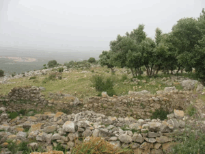
Three houses, two shrines and the former school remain standing. One shrine is a domed stone structure whose shallow dome extends across the roof. The surviving school displays architectural features similar to those of the Palestinian school at Qula.
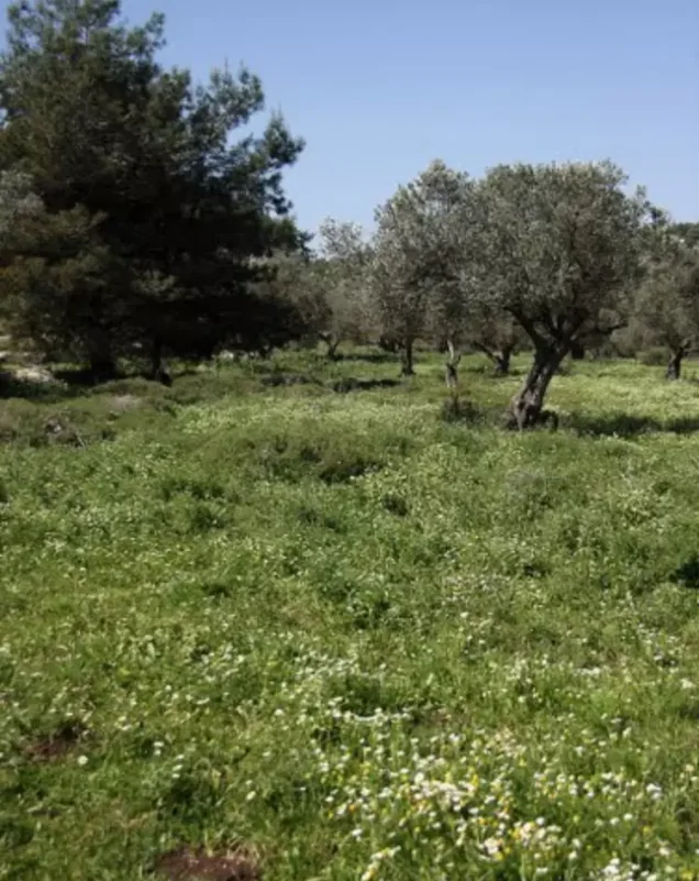
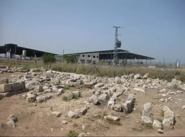
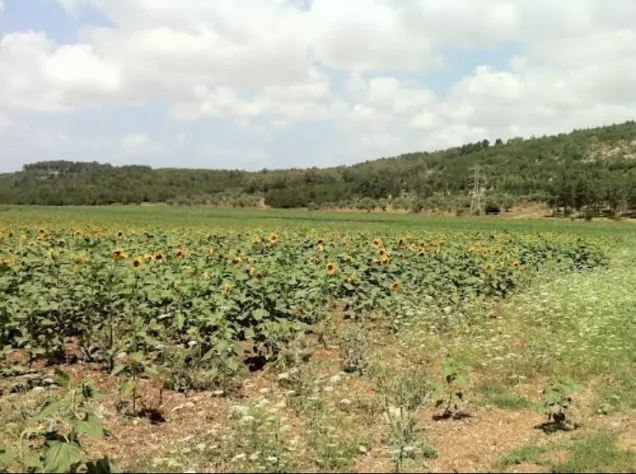
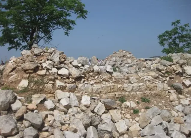
These structures stand deserted among cactus plants, weeds and fig, olive and mulberry trees. Rubble from destroyed houses remains scattered throughout the site, while several neglected graves are also visible. Residents of Ahihud cultivate parts of the village site and surrounding lands.
Sources
- Interactive Encyclopedia of the Palestine Question: al-Birwa, Institute for Palestine Studies and the Palestinian Museum.
- Interactive Encyclopedia of the Palestine Question: Operation Dekel.
- Palestine Remembered: al-Birwa, Acre Subdistrict.
- Palestine Open Maps: al-Birwa.
- Walid Khalidi, ed., All That Remains: The Palestinian Villages Occupied and Depopulated by Israel in 1948, Institute for Palestine Studies, 1992, pp. 9–10.
- Nafez Nazzal, The Palestinian Exodus from Galilee, 1948, Institute for Palestine Studies, 1978, pp. 65–70.
- Government of Palestine, Census of Palestine, 1922.
- Government of Palestine, Census of Palestine, 1931.
- Government of Palestine, Department of Statistics, Village Statistics, April 1945.
Photo gallery


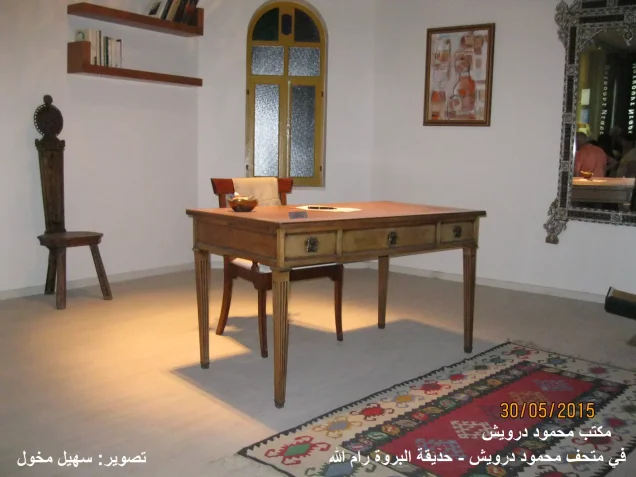


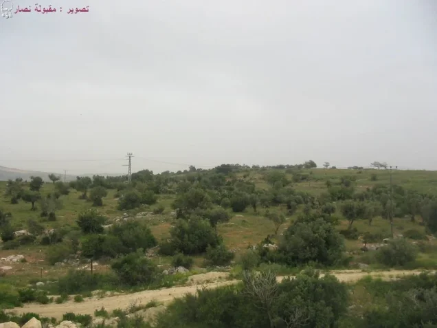
Photos from the village's people
Photos sent in by visitors and published after review.
Add a photo of this village
Log in to add photos of this village.
Other villages from Akka (Acre)

 Download Our Palestine App
The whole archive in the palm of your hand: depopulated villages, the Nakba, the massacres and Al-Aqsa — free, with no ads to erase the story.
Download Our Palestine App
The whole archive in the palm of your hand: depopulated villages, the Nakba, the massacres and Al-Aqsa — free, with no ads to erase the story.



Comments
No comments yet — be the first to write one.
Add your comment
Name and email are optional. Comments appear after review.