
The depopulated village of Khirbat al-Lawz / District of Al-Quds (Jerusalem)
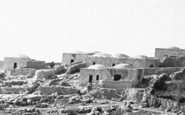
Khirbat al-Lawz
About the depopulated village of Khirbat al-Lawz
- District
- Al-Quds (Jerusalem)
- Date Khirbat al-Lawz was occupied
- 14 July 1948
- Population in 1948
- 520
- Military operation
- Operation Dani
- Brigade that carried it out
- Harel Brigade
- Distance from the governorate centre
- 11 (km) West of Jerusalem
- Elevation above sea level
- 750 m
- Cause of displacement
- Military assault by Zionist troops
- Extent of destruction
- Khirbat al-Lawz was completely destroyed and defaced.
- Ethnic cleansing
- In November 1948, Khirbat al-Lawz was completely ethnically cleansed.
Hover a dot to read the village name, or click to open its card.
Borders of the depopulated village of Khirbat al-Lawz
Khirbat al-Lawz – A Depopulated Palestinian Village in the Jerusalem Subdistrict
Khirbat al-Lawz was a Palestinian village in the Jerusalem Subdistrict, located approximately 11 km west of Jerusalem on the southern slope of a mountain in the western Jerusalem hills, at an average elevation of about 750 meters above sea level.
The village stood just south of the mountain crest and overlooked a broad area to the south, east, and west. Wadi al-Sarar crossed the southern village lands and continued westward toward the Mediterranean, while a secondary road linked Khirbat al-Lawz with 'Ayn Karim and from there with Jerusalem.
Israeli occupation forces captured Khirbat al-Lawz on 13–14 July 1948 during Operation Dani. The village-specific attacking force was the Har'el Brigade, which had been tasked with capturing a group of villages in order to widen the Israeli-controlled corridor leading to Jerusalem.
- Subdistrict
- Jerusalem
- Distance from Jerusalem
- Approximately 11 km west
- Average elevation
- Approximately 750 m above sea level
- Highest local point reported
- Approximately 788 m in later local documentation
- Population, 1944/45
- 450
- Estimated population, 1948
- 522
- Total land area
- 4,502 dunums
- Date of occupation
- 13–14 July 1948
- Military operation
- Operation Dani
- Village-specific military unit
- Har'el Brigade
- Israeli settlements on village land
- None identified by Walid Khalidi
Location and Geography
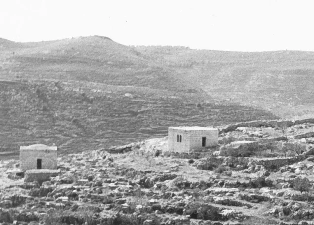
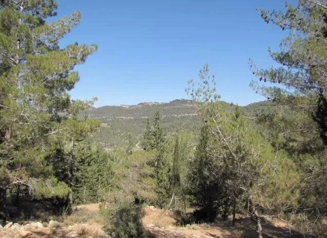
Khirbat al-Lawz stood on the upper southern slope of one of the western Jerusalem mountains, just below the crest, and overlooked extensive areas to the south, east, and west.
Wadi al-Sarar crossed the southern village lands before continuing westward toward the coastal plain and the Mediterranean.
The lower slopes were extensively terraced for agriculture, a characteristic feature of farming in the Jerusalem hills.
A secondary road linked the village with nearby 'Ayn Karim and, through it, Jerusalem.
Neighboring Villages
Later Palestinian local documentation places Khirbat al-Lawz approximately among the following villages:
- North: Dayr 'Amr.
- Northeast: Suba.
- East: Sataf.
- Southeast: al-Jura.
- South: Ras Abu 'Ammar.
- Southwest: Dayr al-Shaykh.
- West: 'Aqqur.
- Northwest: Bayt Umm al-Mays.
These are approximate geographical relationships and should not be treated as substitutes for historical cadastral boundary maps.
Name of Khirbat al-Lawz
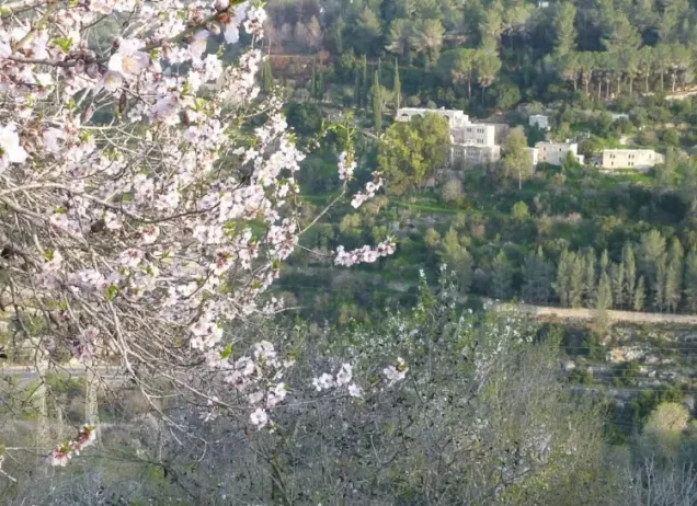
The name is associated with lawz, Arabic for almond, reflecting the almond trees traditionally found around the village.
Local Palestinian documentation states that the name Khirbat al-Lawz was already in use by the sixteenth century, when Ottoman-era records referred to a farm or locality bearing the name.
The term khirba should not be understood to mean that the site was abandoned in the modern period; on the eve of the Nakba, Khirbat al-Lawz was an inhabited Palestinian village with hundreds of residents, stone houses, and cultivated land.
Khirbat al-Lawz under Ottoman Rule
Later Palestinian research based on Jerusalem's Ottoman court records traces the name Khirbat al-Lawz to at least 1531, when the locality was recorded as an agricultural holding associated with olive production.
In 1863, French traveler Victor Guérin found a small settlement of about eighty inhabitants, most of them shepherds.
In the 1870s, the Survey of Western Palestine described the locality as a moderately sized village on the upper slope of a high ridge, with rock-cut tombs and other antiquities.
Built Form
The village had a crescent-shaped plan extending from east to west.
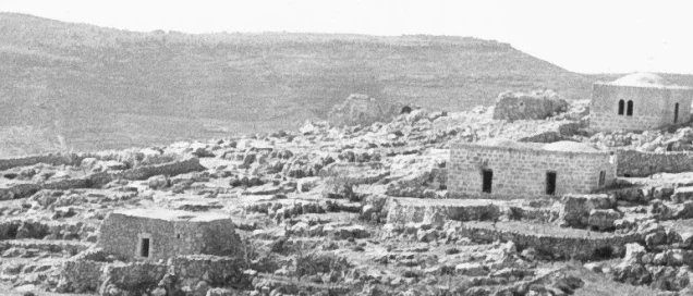
Most houses were built of stone. The older houses clustered in the original village core, while new houses were built farther west during the 1940s.
In 1944/45, 13 dunums were classified as built-up land.
Population
The official 1922 Census of Palestine recorded 234 inhabitants in Khirbat al-Lawz, all Muslims.
By the 1931 census, the population had risen to 315, again all Muslims, living in 67 occupied houses.
The 1944/45 Village Statistics recorded 450 Arab Muslim inhabitants.
Palestine Remembered later estimated the population at 522 in 1948 and the number of refugees and their descendants at 3,206 in 1998. These are retrospective estimates rather than official Mandate census counts.
- 1863Approximately 80Traveler's estimate; many were described as shepherds
- 1922234Official census; all Muslims
- 1931315Official census; all Muslims
- 1944/45450Official British Mandate statistics
- 1948522Later estimate, not an official census
- 19983,206 refugeesLater estimate of refugees and their descendants
Number of Houses
- 193167Occupied houses recorded in the official census
- 1948111Later Palestine Remembered estimate, not an official census count
Education
Khalidi's principal village entry does not provide detailed information about the school. Later Palestinian local documentation states that before 1941 children learned reading, writing, and Qur'an recitation from the village shaykh.
A school was subsequently opened in the village, while pupils seeking higher grades attended schools in 'Ayn Karim and Jerusalem.
Local documentation names Nazmi al-Adhami of Nablus as one of the school's teachers or headmasters.
These details derive from community documentation rather than a complete official Mandate Department of Education statistical record.
Mosque and Shrines
The inhabitants were Muslims, and Khalidi records a village mosque and a shrine dedicated to a local holy man known as Shaykh Salama.
Later local accounts state that the old mosque consisted of a small room and courtyard and was damaged or destroyed in the 1927 earthquake.
Villagers thereafter used courtyards, guesthouses, and threshing floors for communal prayers and also traveled to Jerusalem for Friday prayers at al-Aqsa Mosque.
Local documentation additionally identifies a shrine of Shaykh al-Bakhtiyari east of the village, consisting of several connected rooms, graves, a mihrab, and older building remains nearby.
Land Ownership
The total land area recorded for Khirbat al-Lawz in the 1944/45 Village Statistics was 4,502 dunums.
Using Palestine Remembered's simplified terminology:
- Palestinian4,495 dunums100%
- Transferred to Zionists0 dunums0%
- Communal/Public7 dunums<1%
The official Village Statistics use the categories Arab and Public: 4,495 dunums were Arab land and 7 dunums were public. No land was recorded under the Jewish category.
Land Use in 1944/45
- Arab
- Public
- Cereals693 dunums
- Plantations and irrigable land728 dunums
- Built-up land13 dunums
- Non-cultivable land3,068 dunums
Cultivable land totaled 1,421 dunums, approximately 32 percent of the village area.
Built-up and non-cultivable land totaled 3,081 dunums, approximately 68 percent.
Approximately 186 dunums were planted with olives. This figure is a crop-specific subset of the 728 dunums classified as plantations and irrigable land and should not be added separately.
Economic Life
Agriculture and livestock raising formed the main basis of village life.
Villagers cultivated grapes, olives, almonds, vegetables, and cereals. Some crops were rain-fed, while others were irrigated from local springs.
In 1944/45, 693 dunums were devoted to cereals and 728 dunums to plantations and irrigable agriculture.
Wild vegetation on the slopes was also used as grazing land.
Water and Wells
Khirbat al-Lawz had fewer springs than some other villages of the Jerusalem hills but relied on several springs and cisterns.
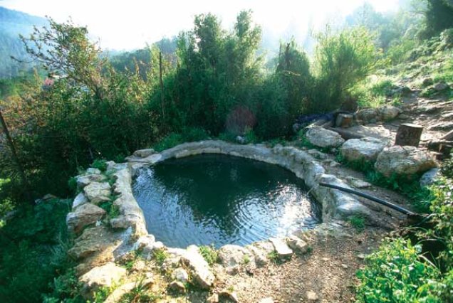
Local documentation identifies 'Ayn al-Dhahr north of the village, with abundant but seasonal water, and 'Ayn Shaykh al-Bakhtiyari, a smaller perennial spring near the shrine.
The village also possessed old wells and numerous household rainwater cisterns, including Bir al-Balad, Bir Jabara, and Bir al-Zir.
Archaeological Remains
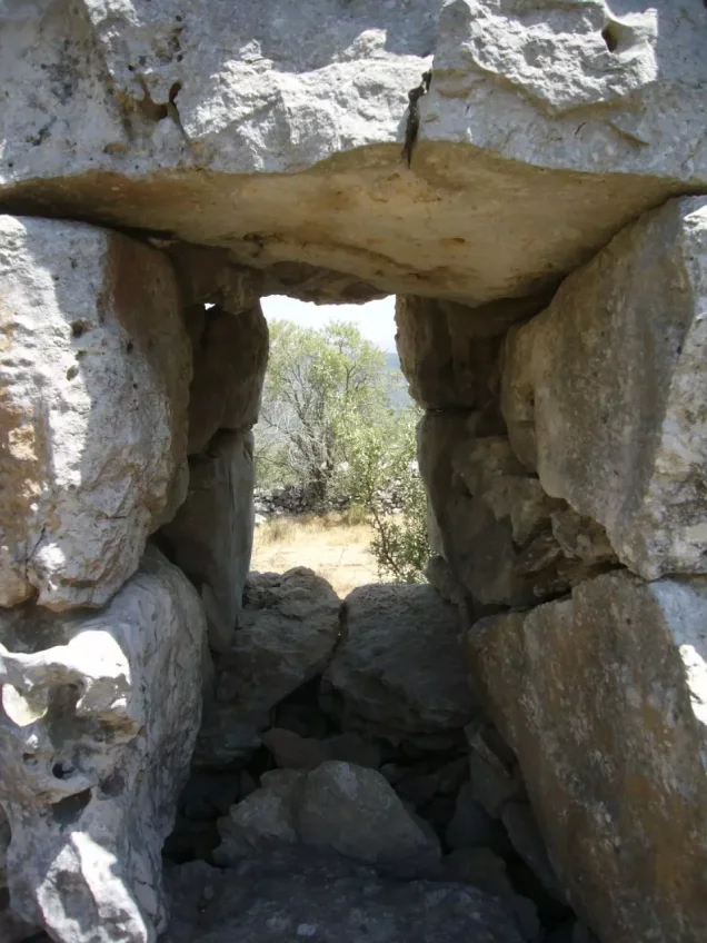
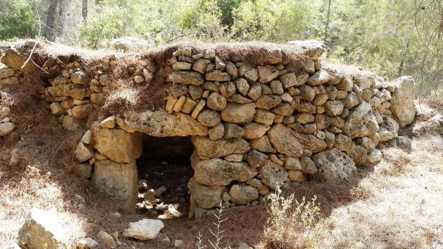
Khirbat al-Lawz itself was an archaeological site containing tombs, building ruins, a millstone, and other evidence of earlier occupation.
The Survey of Western Palestine recorded rock-cut tombs, old walls, and agricultural remains in the nineteenth century.
Later local documentation also identifies ruins, graves, and an olive-crushing stone around the shrine of Shaykh al-Bakhtiyari.
Khalidi does not provide a detailed archaeological chronology, so these remains should not be assigned to specific periods without independent archaeological study.
Operation Dani
Operation Dani began on 9 July 1948 and continued through 18 July during the “Ten Days” between the two truces.
Its purpose was to expand Israeli-held territory in the central front and strengthen and widen the corridor leading to Jerusalem.
After the capture of Lydda and Ramla during the first phase, the second phase shifted toward the Latrun sector, the Ramallah road, and the western approaches to Jerusalem.
The Har'el Brigade was assigned the task of taking a group of villages whose capture would widen the Israeli-controlled Jerusalem corridor.
Occupation and Depopulation of Khirbat al-Lawz
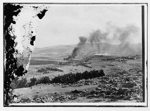
Israeli occupation forces captured Khirbat al-Lawz on 13–14 July 1948.
The village-specific attacking force was the Har'el Brigade, operating during the second phase of Operation Dani.
Some later sources use 13 July as the occupation date, while Palestinian local documentation often uses 14 July. Khalidi/PalQuest gives a 13–14 July range, which is therefore the most careful formulation.
Har'el forces continued to hold and patrol the area after the occupation, at least until the 1949 armistice agreement with Jordan.
Refugees who remained in the region or attempted to return were also forced out. In November 1948, a Har'el platoon intercepted dozens of refugees near Khirbat al-Lawz, ordered them out of Israeli-held territory, and confiscated their livestock according to military records cited by Khalidi.
- 9 July 1948
Beginning of Operation Dani
Large Israeli offensive begins on the central front
- 13–18 July 1948
Second phase
Operations expand toward the Latrun and Jerusalem corridor sectors
- 13–14 July 1948
Occupation of Khirbat al-Lawz
Har'el Brigade captures the village
- 1948–1949
Continued military control
Har'el continues to patrol and control the surrounding area
- November 1948
Expulsion of returning refugees
Har'el platoon orders refugees near the village out of the area and confiscates livestock
Israeli Settlements on Village Lands
According to Walid Khalidi and PalQuest, no Israeli settlements were established on the lands of Khirbat al-Lawz.
The landscape was nevertheless transformed through later land use, particularly extensive afforestation around the former village site.
Khirbat al-Lawz Today
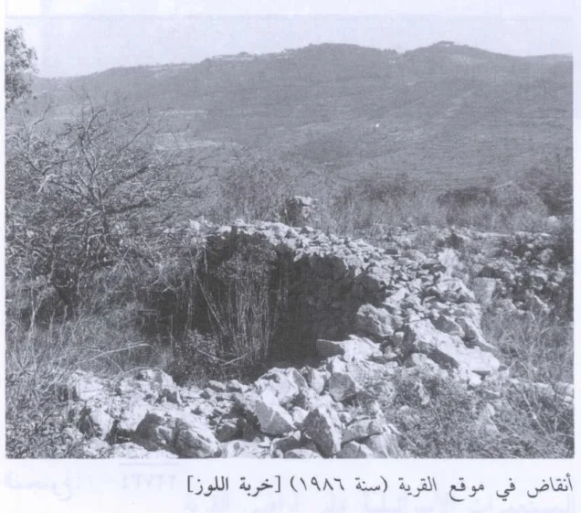
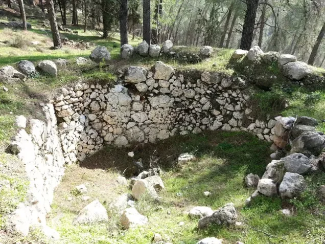
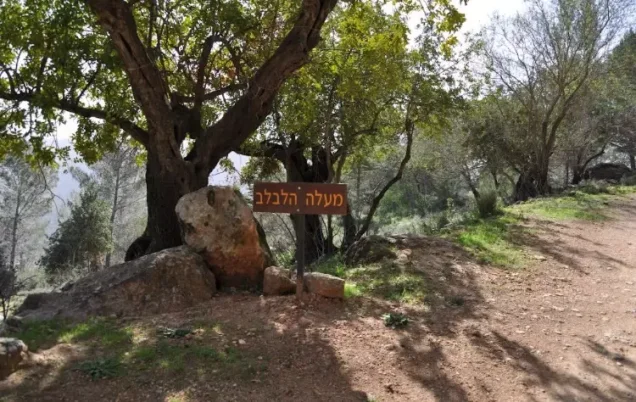
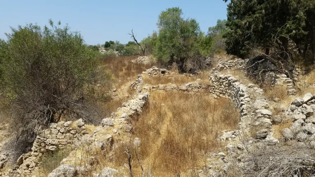
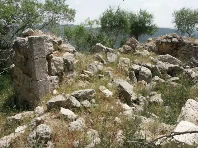
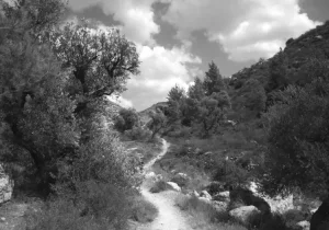
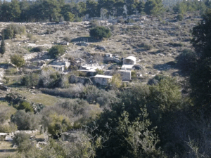
According to Walid Khalidi's field description in All That Remains, grass and thorny vegetation grew among the stone rubble and agricultural terraces across the village site.
Almond, fig, and carob trees also remained.
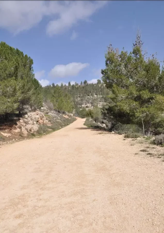
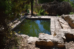
A dense forest of cypress and fir trees was planted around the former village, and a well south of the site within the forest was surrounded by almond and fig trees.
The forest was later dedicated to the memory of Moshe Dayan.
This description derives from fieldwork conducted before the 1992 publication of All That Remains and should not be treated as direct field verification of conditions in 2026.
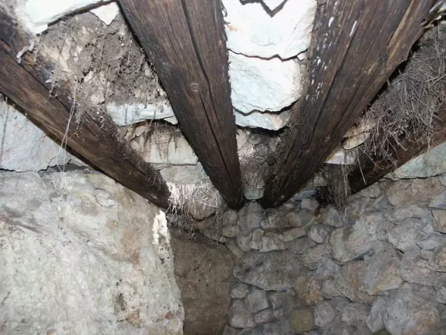
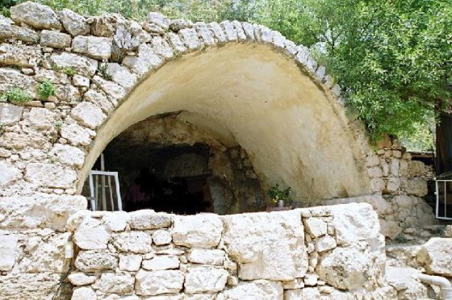
Palestine Remembered contains later community documentation as well as older photographs of the site from the 1950s and subsequent decades. Such material is useful for documenting the transformation of the village landscape, but upload dates do not necessarily establish the date on which photographs were taken, and the material does not constitute a comprehensive independent archaeological or architectural survey of the site in 2026.
Sources
- PalQuestPalQuest – Interactive Encyclopedia of the Palestine Question: Khirbat al-Lawz
- PalQuestPalQuest – Operation Dani
- Palestine RememberedPalestine Remembered – Khirbat al-Lawz, Jerusalem
- Palestine RememberedPalestine Remembered – Khirbat al-Lawz entry from All That Remains
- Institute for Palestine StudiesInstitute for Palestine Studies – Walid Khalidi, All That Remains
- pcbs.gov.psGovernment of Palestine – Census of Palestine 1922
- fada.birzeit.eduBirzeit University Repository – Census of Palestine 1931
- sabil.meGovernment of Palestine – Village Statistics 1945: Jerusalem Sub-District
- maktabatsabil.comGovernment of Palestine – Village Statistics 1945: Jerusalem Sub-District, Built-up and Non-Cultivable Land
- palqura.comPalestinian Villages Encyclopedia – Khirbat al-Lawz: local boundaries, water, education, and community history
Photo gallery
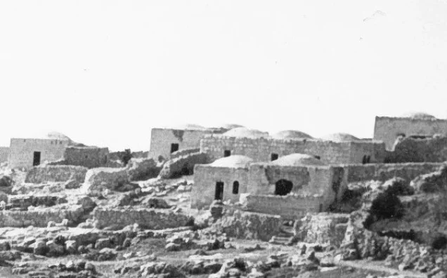
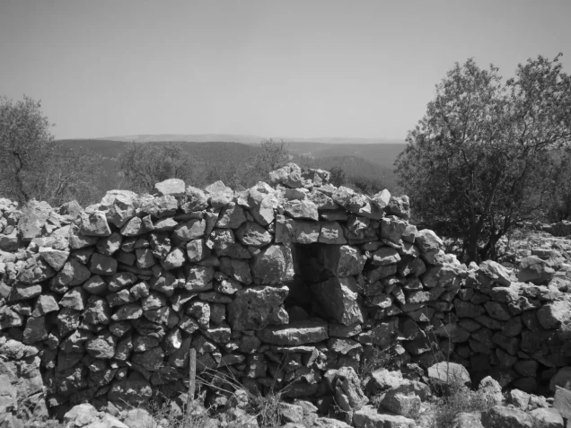
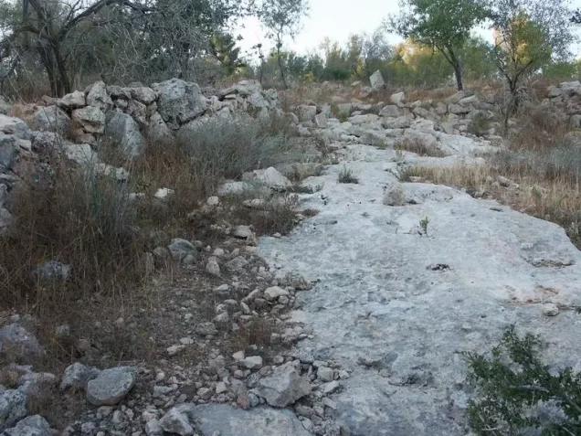
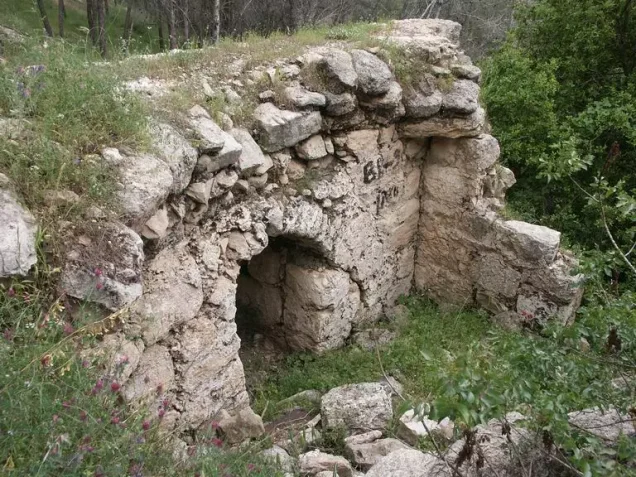

Photos from the village's people
Photos sent in by visitors and published after review.
Add a photo of this village
Log in to add photos of this village.
Other villages from Al-Quds (Jerusalem)
More from the archive
 Al-Quds (Jerusalem)
The depopulated village of Khirbat al-Tannur - Allar al-Sifla / District of Al-Quds (Jerusalem)
 Al-Quds (Jerusalem)
The depopulated village of Jarash / District of Al-Quds (Jerusalem)
 Al-Quds (Jerusalem)
The depopulated village of al-Burayj (Bayarat Burayj) / District of Al-Quds (Jerusalem)
 Download Our Palestine App
The whole archive in the palm of your hand: depopulated villages, the Nakba, the massacres and Al-Aqsa — free, with no ads to erase the story.
Download Our Palestine App
The whole archive in the palm of your hand: depopulated villages, the Nakba, the massacres and Al-Aqsa — free, with no ads to erase the story.



Comments
No comments yet — be the first to write one.
Add your comment
Name and email are optional. Comments appear after review.