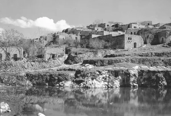
District: Akka (Acre)
Population 1948: 1310
Occupation date: 30/10/1948
Occupying unit: Golani & Oded
Jewish settlements on village/town land after 1948: Hosen, Tzuriel
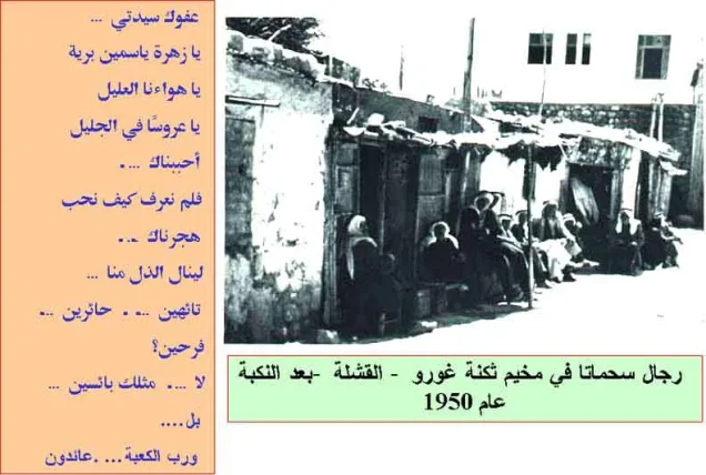
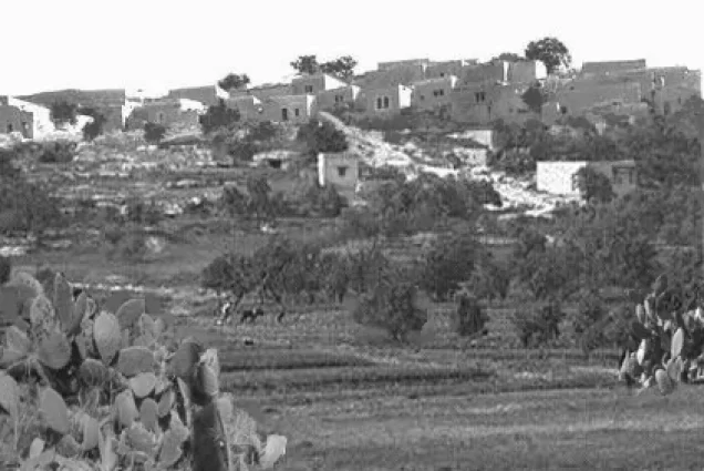
Suhmata (Arabic: سحماتا), was a Palestinian village, located 25 kilometres (16 mi) northeast of Acre. It was depopulated by the Golani Brigade during the 1948 Arab-Israeli war.
History
- Separated from the neighboring village of Tarshiha by a deep gorge, the ruins of a Byzantine era church lay within Suhmata's village lands.
- Underground water reservoir and a burial cave that apparently dates to the Roman period have been found at the village site.
- An elementary school for boys was founded in the village in 1886.
Suhmata Population
- A population list from about 1887 showed Sahmata to have about 1,500 inhabitants; 1,400 Muslims and 100 Christians.
- In the 1922 census of Palestine conducted by the British Mandate authorities, Submata had a population of 632; 589 Muslims and 43 Melkite Christians, increasing in the 1931 census to 796; 752 Muslims and 44 Christians, in a total of 175 houses.
Economic Life in Suhmata Before Nakba
Over 70 percent of the village land was rocky and uncultivated, covered with oak and wild pears. The agricultural land was planted with wheat, barley, maize, tobacco, and vegetables. Suhmata's tobacco had a reputation for quality.
Occupation and Depopulation
During Operation Hiram, on 30 October 1948, the First Battalion of Israel's Golani Brigade assaulted the village, resulting in its depopulation. The village was left in ruins.
Suhmata Village Today
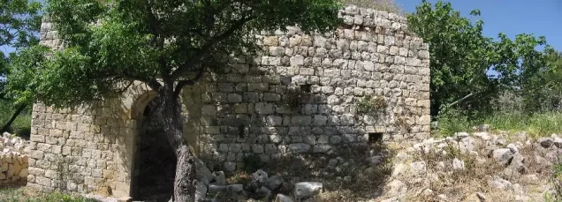
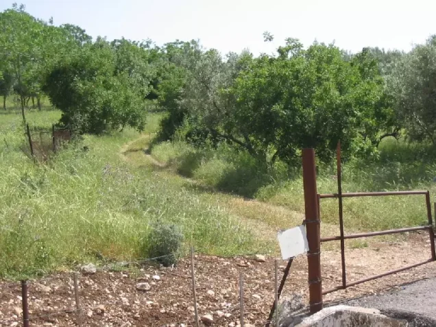
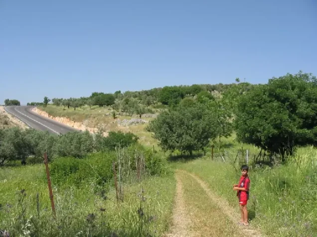
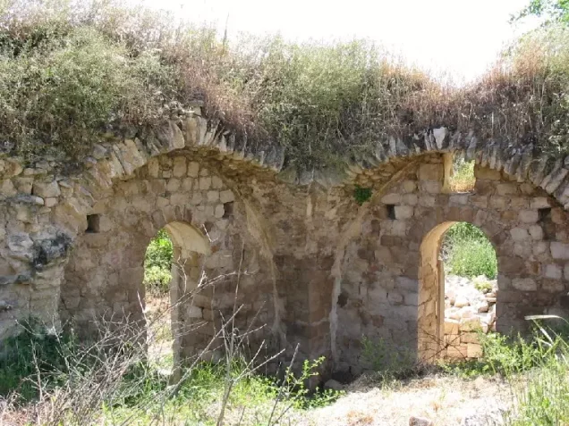
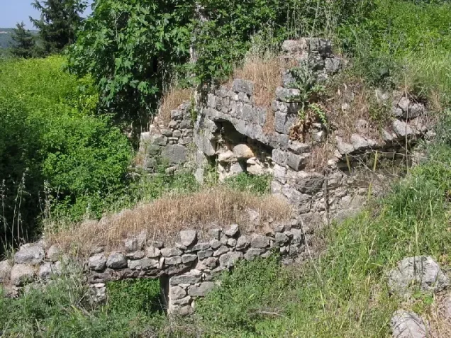
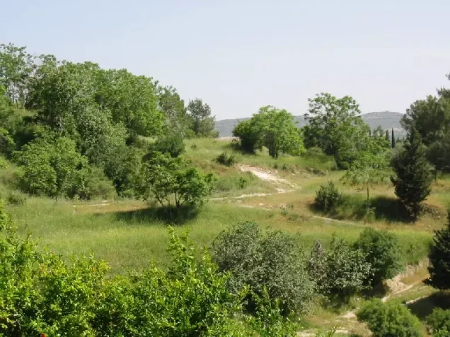
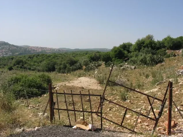
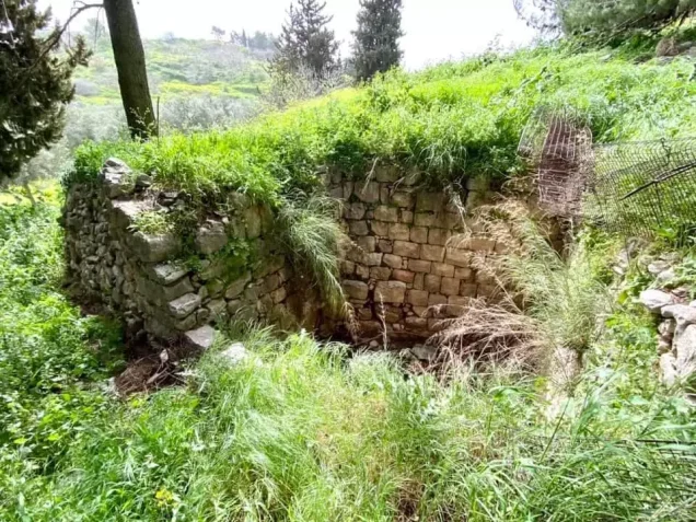
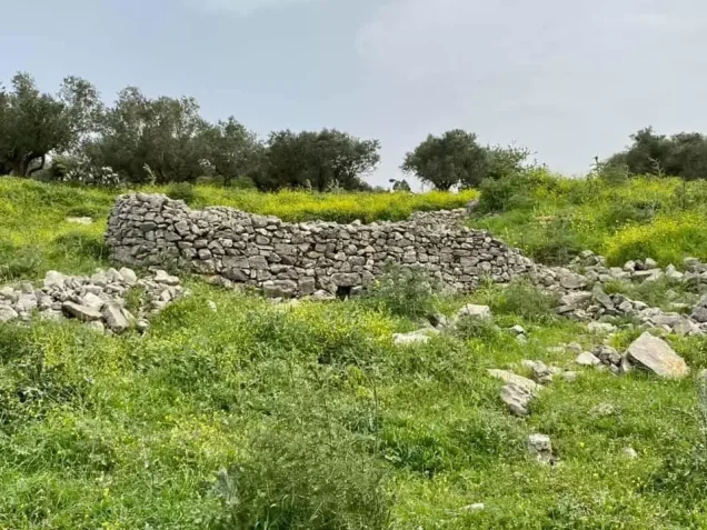
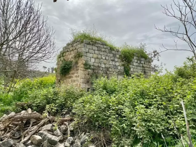
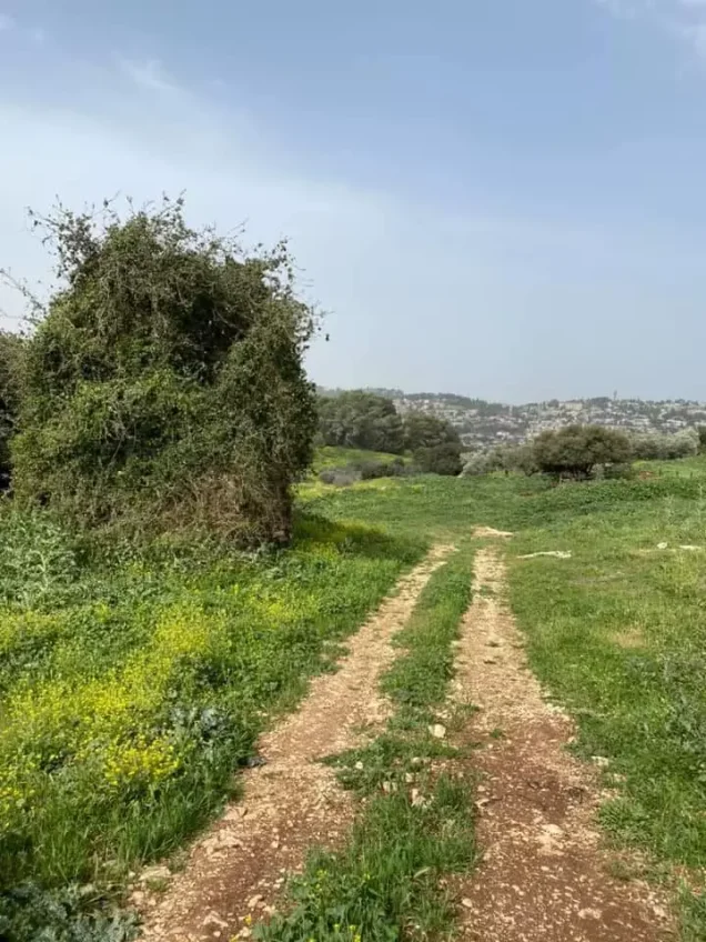
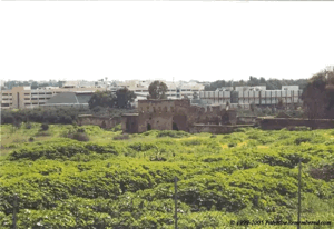
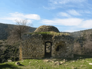
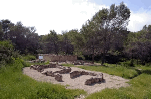
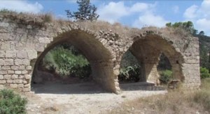
- The site is covered with debris and broken walls from fallen stone houses, all of which are scattered among the olive trees that grow there.
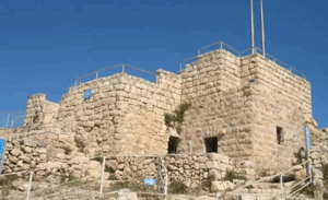
- A castle and a wall that were still stand. The castle is on an elevated spot on the eastern side of the site, and the wall encloses the western quarter.
- The surrounding lands are partly forested and partly used as pasture.






Share your opinion