
The depopulated village of Al-Jura (Jerusalem) / District of Al-Quds (Jerusalem)
Subdistrict: Jerusalem
Estimated population of al-Jura in 1948: 487
Probable date of occupation and depopulation: 11 July 1948
Military operation: Operation Dani
Israeli settlements established on the village’s built-up site after 1948: None
Israeli settlements established on village land after 1948: Ora
Al-Jura was located approximately 8.5 kilometres west-southwest of Jerusalem.
Al-Jura was a depopulated Palestinian village in the Jerusalem Subdistrict. Its population was estimated at 487 in 1948. A paved secondary road connected the village to the Jerusalem road, while unpaved roads and paths linked it with Ayn Karim, al-Walaja, Sataf, and Khirbat al-Lawz.
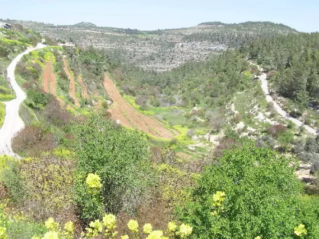
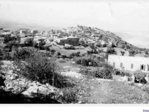
The village stood on the steep western slope of a mountain and overlooked several deep valleys. A small ravine ran from east to west along its southern perimeter.
A small hill separated al-Jura from Ayn Karim. A school and a convalescent hospital stood on this hill. Local descriptions associate this area with a compound known as al-Maskubiyya and a school referred to as “Miss Kerry,” although these names are not consistently recorded in the principal academic village surveys.
Several archaeological sites lay near the village, including Khirbat Sa‘ida, Ayn al-Jadida, and Khirbat al-Qusur.
Boundaries of al-Jura
Al-Jura was surrounded by the following Palestinian villages and localities:
- North: Al-Qastal.
- Northwest: Sataf.
- West: Khirbat al-Lawz.
- Southwest: Ras Abu Ammar.
- South: Al-Walaja.
- Southeast: the lands of al-Walaja extending into the area that later became part of the West Bank.
- East: Al-Maliha.
- Northeast: Ayn Karim.
Architecture of al-Jura
In the late nineteenth century, al-Jura was described as a small hamlet built on the slope of a ridge, with olive trees growing below it. Its original plan was rectangular, but later construction extended in an arc and gradually gave the village a crescent-like form. Its houses were built of stone.
Origin of the Name al-Jura
The Arabic name al-Jura means “the hollow” or “the depression,” probably referring to the village’s position relative to the surrounding heights and valleys. PalQuest records an average elevation of approximately 800 metres above sea level; consequently, the earlier figure of 725 metres should not be treated as definitive.
Population of al-Jura
| Year | Population |
|---|---|
| 1922 | 234 |
| 1931 | 329 |
| 1945 | 420 |
| 1948 | 487 (estimated) |
| Estimated number of refugees in 1998 | 2,992 |
The 1948 and 1998 figures are demographic estimates rather than contemporary census counts.
Number of Houses in al-Jura
| Year | Number of houses |
|---|---|
| 1931 | 63 |
| 1948 | 93 (estimated) |
The figure for 1948 is a later estimate, not an official housing census.
Public Services in al-Jura
Al-Jura had few public facilities of its own. Its residents depended on neighbouring Ayn Karim and on Jerusalem for many services.
Economic Life in al-Jura
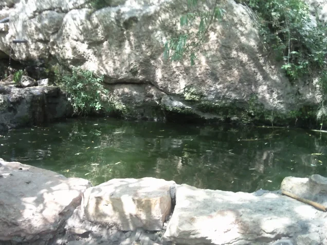
The villagers obtained drinking water from a spring west of the village. Other springs to the west and southwest supplied water for fruit orchards and vegetable plots. Al-Jura was known for the quality of its fruit, particularly its grapes. In 1944/45, 846 dunams were allocated to cereal cultivation, while 1,125 dunams of land under Palestinian ownership were irrigated or used for orchards.
Land Ownership in al-Jura
| Ownership category | Land area (dunams)* |
|---|---|
| Palestinian ownership | 3,909 |
| Jewish ownership | 247 |
| Public land | 2 |
| Total | 4,158 |
* One dunam equals approximately 1,000 square metres.
Land Use in al-Jura, 1944/45
| Land-use category | Palestinian ownership (dunams)* | Jewish ownership (dunams)* | Public land (dunams)* |
|---|---|---|---|
| Irrigated land and orchards | 1,125 | 89 | 0 |
| Olive groves | 176 | 0 | 0 |
| Cereal cultivation | 846 | 0 | 0 |
| Built-up area | 27 | 0 | 0 |
| Cultivable land | 1,971 | 89 | 0 |
| Uncultivated land | 1,911 | 158 | 2 |
* One dunam equals approximately 1,000 square metres.
Olive groves form part of the irrigated-land and orchard category and should not be added to it as a separate component. The two dunams of public land have been listed separately rather than included under Palestinian ownership.
Archaeological Sites near al-Jura
East of the village lay Khirbat Sa‘ida and Ayn al-Jadida, where remains indicated Byzantine and later Crusader-period activity. Nearby Khirbat al-Qusur has been identified with the sixteenth-century settlement of Qusur. Archaeological features recorded in the surrounding area included ruined structures, foundations, arches, and a lintel bearing a Greek inscription.
Occupation and Depopulation of al-Jura
Circumstantial evidence indicates that Israeli forces occupied al-Jura during Operation Dani, which was conducted between 9 and 18 July 1948 as part of Israel’s occupation of Palestine during the Nakba. The village’s exact date of occupation is not independently documented with certainty.
Walid Khalidi’s account states that on 11 July Israeli units operating in the southern part of the Jerusalem corridor captured two hilltops overlooking Ayn Karim and began shelling that village before occupying it. Because these heights lay immediately beside al-Jura, Khalidi concludes that al-Jura probably fell at approximately the same time. Accordingly, 11 July 1948 should be presented as the probable date of occupation rather than as an incontrovertibly documented date.
Israeli Settlements on al-Jura’s Land
In 1950, Israel established the settlement of Ora on land belonging to al-Jura, approximately 0.5 kilometres east of the former village site. Ora was therefore established on village land, but not directly over al-Jura’s original built-up area.
Al-Jura Today
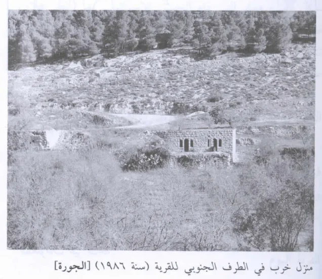
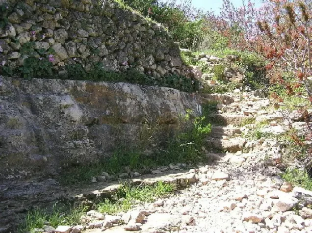
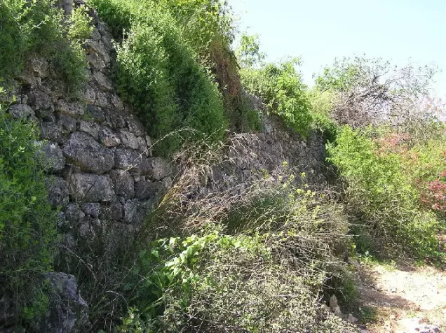
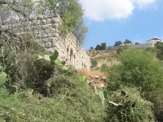
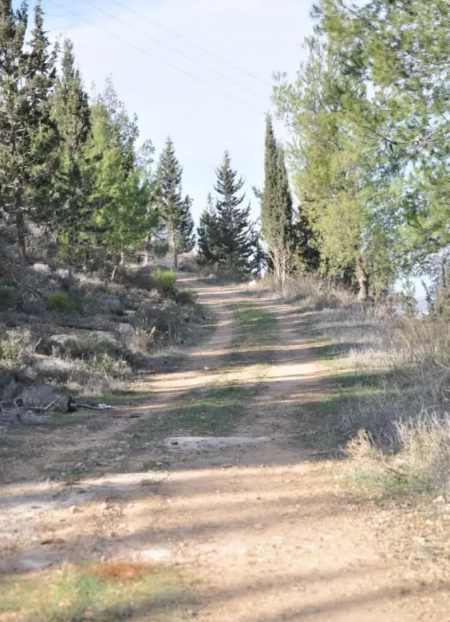
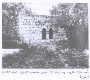
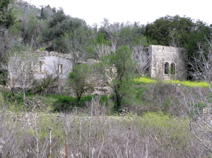
The only surviving structures recorded at the village site are two limestone houses on the valley floor at its southern edge. The larger is a rectangular, two-storey building whose upper floor contains two arched doorways, each flanked by arched windows. Almond groves cover a terrace on the valley floor, while fig, carob, and cypress trees, together with cactuses, grow across the site. Ruins of houses, stone stairways, and wells remain visible on the adjoining land, and cypress forests surround the former village.
Sources
- PalQuest: Al-Jura.
- PalQuest: Operation Dani.
- Palestine Remembered: Al-Jura, Jerusalem.
- Walid Khalidi, ed., All That Remains: The Palestinian Villages Occupied and Depopulated by Israel in 1948, Institute for Palestine Studies, 1992.
Photo gallery

Photos from the village's people
Photos sent in by visitors and published after review.
Add a photo of this village
Log in to add photos of this village.
Other villages from Al-Quds (Jerusalem)
 Download Our Palestine App
The whole archive in the palm of your hand: depopulated villages, the Nakba, the massacres and Al-Aqsa — free, with no ads to erase the story.
Download Our Palestine App
The whole archive in the palm of your hand: depopulated villages, the Nakba, the massacres and Al-Aqsa — free, with no ads to erase the story.



Comments
No comments yet — be the first to write one.
Add your comment
Name and email are optional. Comments appear after review.