
The depopulated village of Al-Tabigha / District of Tiberias
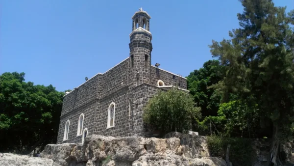
Al-Tabigha
About the depopulated village of Al-Tabigha
- District
- Tiberias
- Date Al-Tabigha was occupied
- 04 May 1948
- Population in 1948
- 380
- Distance from the governorate centre
- 9 (km) Northeast of Tiberias
- Elevation above sea level
- - 200 m
- Cause of displacement
- Expulsion by Zionist troops
- Extent of destruction
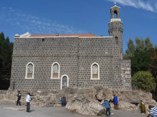
- al-Tabigha was completely defaced with the exception of the Christian churches, monasteries, and few shrines.
- Ethnic cleansing
- al-Tabigha inhabitants were completely ethnically cleansed.
Hover a dot to read the village name, or click to open its card.
Borders of the depopulated village of Al-Tabigha
al-Tabigha – Tiberias Subdistrict
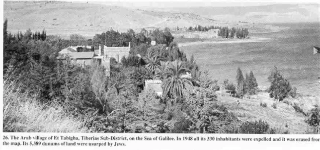
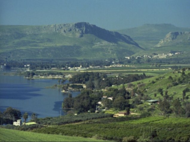
Al-Tabigha was a depopulated Palestinian village in the Tiberias subdistrict, situated on the northwestern shore of Lake Tiberias approximately 9 km northeast of the city of Tiberias at an average elevation of about 200 meters below sea level.
The village stood on flat ground at the northern edge of the plain known as Ghuwayr Abu Shusha. A secondary road connected it with the Tiberias–Safad highway, while another road linked it with neighboring al-Samakiyya.
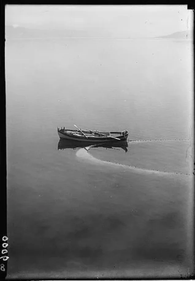
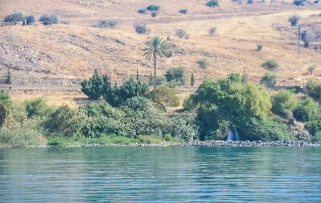
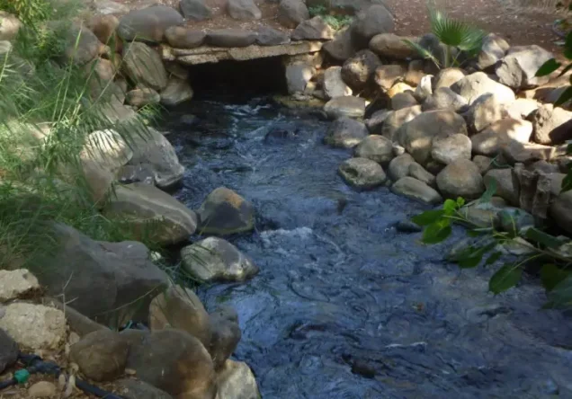
Al-Tabigha was distinguished by its numerous springs and direct access to Lake Tiberias. Agriculture formed the main basis of its economy, while some residents also worked in fishing. The area was historically known for water-powered mills.
The village had 175 inhabitants in 1922. The 1931 statistical unit, which included Khan al-Minya, had 245 inhabitants living in 53 houses. In 1944/45, the statistical unit comprising al-Tabigha, Tall al-Hunud, and Khan al-Minya had 330 inhabitants.
Palmach forces occupied al-Tabigha, expelled its inhabitants, and destroyed part of its built-up area on or shortly after 4 May 1948 during Operation Matate, or Operation Broom, a sub-operation of Operation Yiftach.
Location of al-Tabigha
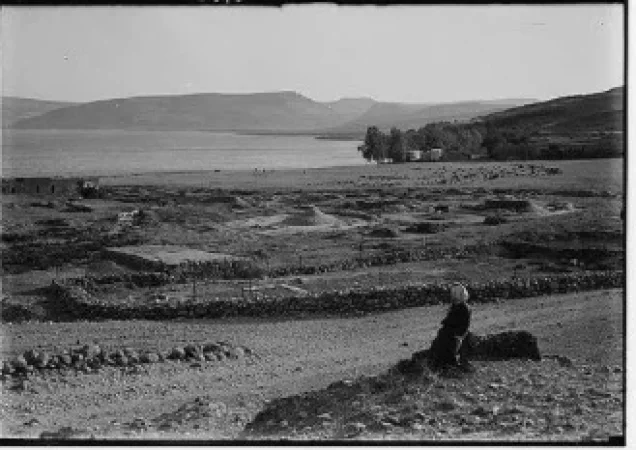
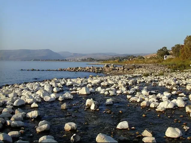
Al-Tabigha stood on the northwestern shore of Lake Tiberias on low, flat ground immediately north of the Ghuwayr Abu Shusha plain.
Its average elevation was approximately 200 meters below sea level.
A spur road connected the village with the Tiberias–Safad highway, while a local road linked it eastward with al-Samakiyya.
Neighboring Villages and Areas
| Direction | Village / Area |
|---|---|
| North | al-Qudayriyya and the higher ground north of the lake |
| East | al-Samakiyya |
| South | Lake Tiberias and the Khan al-Minya area |
| West / Southwest | Ghuwayr Abu Shusha and its plain |
These directions describe the general geographical neighborhood. Original Mandate cadastral maps remain the stronger source for exact village boundaries.
The Name and Ancient Site
The area was historically associated with Heptapegon, a Greek name meaning “seven springs,” reflecting the abundance of springs around al-Tabigha.
During the Crusader period, part of the site was known as Mensa Christi.
These older names refer to earlier historical layers at the site and should not be interpreted as proving uninterrupted administrative or demographic continuity with the modern Palestinian village.
al-Tabigha in the Ottoman Period
In 1596, al-Tabigha was a village in the nahiya of Jira within the liwa' of Safad and had an estimated population of 44.
The villagers paid taxes on wheat and barley as well as goats, beehives, and orchards.
The record demonstrates the presence of agriculture and animal husbandry at the site during the early Ottoman period.
al-Tabigha in the Nineteenth Century
The Swiss traveler Johann Ludwig Burckhardt described one of al-Tabigha's springs as saline and recorded houses and a mill near it, together with inhabitants who earned part of their livelihood through fishing.
Edward Robinson later observed one or two water-powered mills in operation and several others that were inactive.
These mills were government-owned and some were operated by people from Safad.
Built Environment
During the Mandate, the Palestine Index Gazetteer classified al-Tabigha as a hamlet.
Its houses extended along the lakeshore and alongside the spur leading to the Tiberias–Safad road.
The available published land statistics do not provide a securely separated built-up acreage for al-Tabigha alone.
Population of al-Tabigha
- 159644Estimate derived from an Ottoman tax register
- 1922175Official Census of Palestine: 157 Muslims and 18 Christians
- 1931245Includes Khan al-Minya; 223 Muslims, 21 Christians, and one Jewish resident
- 1944/45330Includes al-Tabigha, Tall al-Hunud, and Khan al-Minya; 310 Muslims and 20 Christians
- 1948383Later Palestine Remembered estimate; not an official census and requires caution because the 1945 base was a combined statistical unit
- 19982,351 refugees and descendantsLater demographic estimate requiring the same caution
Number of Houses
- 193153 occupied housesIncludes Khan al-Minya and is not a securely separated count for al-Tabigha alone
No securely documented independent house total for al-Tabigha alone immediately before the Nakba has been identified in the core sources.
Religious Composition
Al-Tabigha had both Muslim and Christian inhabitants during the Mandate period.
The 1922 census recorded 157 Muslims and 18 Christians.
The 1931 statistical unit contained 223 Muslims, 21 Christians, and one resident recorded as Jewish.
In 1944/45, the combined al-Tabigha–Tall al-Hunud–Khan al-Minya unit contained 310 Muslims and 20 Christians.
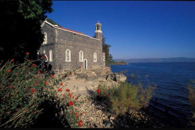
Several Christian churches and monasteries also stood in the wider al-Tabigha area, reflecting the site's long importance in Christian tradition.
Education
Khalidi and PalQuest do not securely document an independent Palestinian village school in al-Tabigha before the Nakba.
Although religious institutions and other establishments existed in the surrounding area, the principal sources reviewed do not support a village-school founding date or pupil enrollment figure.
No unsupported educational institution has therefore been added.
Springs and Water Resources
Al-Tabigha was famous for its numerous springs, reflected in the ancient Greek name Heptapegon, or “seven springs.”
Water from several springs in and around the village flowed toward Lake Tiberias.
Burckhardt described one spring as saline and recorded a nearby mill.
Streams also supplied water power for several mills during the nineteenth century.
The availability of water supported orchards and banana cultivation as well as the fishing economy associated with the lake.
Land Ownership in 1944/45
The following land figures refer to the combined statistical unit of al-Tabigha, Tall al-Hunud, and Khan al-Minya and should not be treated as figures for al-Tabigha alone.
The combined area totaled 5,389 dunums.
Using Palestine Remembered's simplified terminology:
- Palestinian5,287 dunums98%
- Transferred to Zionists0 dunums0%
- Communal/Public102 dunums2%
The official categories record 5,287 Arab dunums and 102 Public dunums, with no land in the Jewish ownership category.
Palestine Remembered's current English page displays only 2 Public dunums, which is an evident data-display error because 5,287 + 2 does not equal the official total of 5,389. PalQuest and the Arabic Palestine Remembered page give the consistent figure of 102 Public dunums.
Land Use in 1944/45
These figures likewise include al-Tabigha, Tall al-Hunud, and Khan al-Minya.
- Cereals2,728 dunums32%
- Plantations and irrigable land287 dunums3%
- Citrus and bananas7 dunums<1%
- Total cultivable land3,022 dunums36%
- Non-cultivable land2,367 dunums28%
PalQuest's published table does not provide a clearly separated built-up acreage, so no unsupported figure has been added.
Economic Life in al-Tabigha
Agriculture formed the principal basis of the village economy, while fishing in Lake Tiberias remained important for some inhabitants.
Cereals occupied the largest cultivated area, totaling 2,728 dunums within the combined statistical unit in 1944/45.
A further 287 dunums were irrigated or used as orchards, while seven dunums were devoted to citrus and bananas.
Olive trees grew in the northern part of the village lands, separated from the settlement by a small wooded area, while palm trees grew to the south.
The lakeshore location also allowed fishing to remain an important supplementary livelihood.
Archaeology and Christian History
Al-Tabigha was one of the archaeologically richest locations in the Tiberias subdistrict.
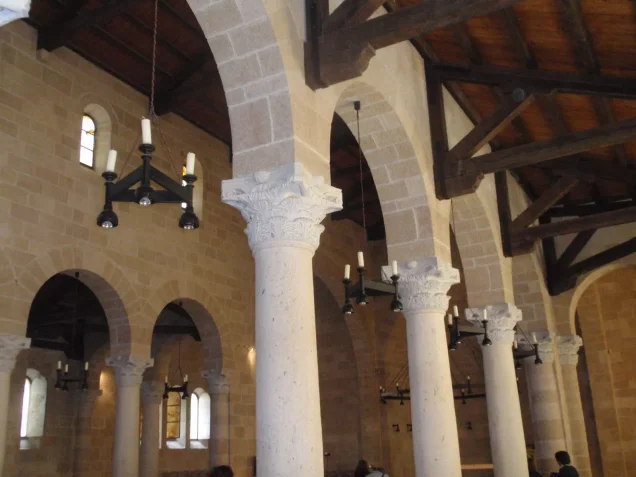
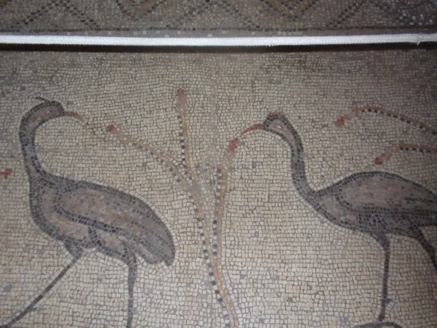
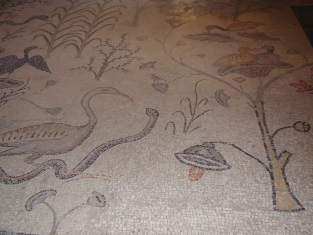
A fourth-century Byzantine church stood at the site and was associated in Christian tradition with the miracle of the multiplication of the loaves.
Archaeological investigation showed that the church was rebuilt in the fifth century and was probably destroyed during the Persian invasion of 614 CE.
Important mosaic pavements survived.
Khirbat 'Urayma
Khirbat 'Urayma lies a short distance west of al-Tabigha.
Archaeological excavation revealed evidence of human occupation during the Bronze and Iron ages.
These remains demonstrate the long history of settlement in the surrounding landscape but do not by themselves establish uninterrupted demographic continuity with the modern Palestinian village.
Khirbat al-Minya and the Umayyad Palace
Khirbat al-Minya lies south of al-Tabigha along the shore of Lake Tiberias.
It contains the remains of a major palace constructed during the reign of the Umayyad caliph al-Walid ibn 'Abd al-Malik, who ruled from 705 to 715 CE.
German archaeological work in the 1930s uncovered Arab pottery and inscriptions inside the palace, together with a gold dinar minted in 707 CE in al-Walid's name.
Khan al-Minya
Khan al-Minya stood farther south in the same area.
The khan dates to the Mamluk period and was built by Sayf al-Din Tankiz, governor of Syria, during the reign of Sultan al-Nasir Muhammad ibn Qalawun.
It was later mentioned by travelers including 'Abd al-Ghani al-Nabulsi, Edward Robinson, and Johann Burckhardt, who commented on the area's greenery and attractive landscape.
al-Tabigha before the Nakba
Al-Tabigha's position between Tiberias and eastern Galilee placed it directly within the military developments of northern Palestine in 1948.
The city of Tiberias fell to the Haganah on 18 April 1948.
Khalidi relays an account stating that the fall of Tiberias triggered a partial departure from al-Tabigha before the village itself was finally attacked.
Operation Yiftach
Operation Yiftach formally ran from 15 April to 25 May 1948.
Palmach forces carried out the campaign to seize eastern Galilee before the end of the British Mandate. The Palmach First Battalion served as the principal spearhead at the wider operational level.
The operation affected a large number of Palestinian villages in the Safad and Tiberias subdistricts, including al-Tabigha, al-Samakiyya, al-Qudayriyya, 'Arab al-Shamalina, and al-Zanghariyya.
Operation Matate / Broom
On 4 May 1948, Palmach forces launched a sub-operation known as Operation Matate, or Operation Broom.
Its purpose was to empty the region north of Lake Tiberias and west of the Jordan River of its Palestinian population and consolidate Zionist-controlled territory in eastern Galilee.
Operational orders specifically named al-Tabigha, al-Zanghariyya, and 'Arab al-Shamalina as villages to be attacked, their inhabitants expelled, and their houses blown up.
Occupation and Depopulation of al-Tabigha
Al-Tabigha was occupied, its inhabitants expelled, and part of its built-up area destroyed on or shortly after 4 May 1948.
Some villagers had already left after the fall of Tiberias in April, but the final depopulation was directly associated with Operation Broom.
Oral testimony from al-Tabigha's inhabitants provides a more detailed sequence.
The villagers initially fled to neighboring al-Samakiyya, whose inhabitants reportedly possessed five rifles and believed they could defend themselves.
On 4 May, displaced villagers saw smoke rising from al-Tabigha. Later that day, armored vehicles approached al-Samakiyya.
When it became clear that houses in al-Tabigha had been set on fire, panic spread and the villagers fled from al-Samakiyya toward Syria without having time to collect their belongings, while Haganah soldiers fired over their heads.
Attempts to Return
A small number of al-Tabigha villagers managed to return during the days following the attack.
Haganah patrols subsequently prevented the re-establishment of the village and made continued return effectively impossible.
What began as temporary flight for some families therefore became permanent displacement and denial of return.
Was There a Massacre at al-Tabigha?
Palestine Remembered's current statistics page contains a field stating that a “massacre” occurred in al-Tabigha.
However, the detailed Walid Khalidi account reproduced by PalQuest and Palestine Remembered does not document a specific massacre, a mass killing, or a casualty figure for such an event.
This article therefore does not use the term “al-Tabigha massacre” without additional reliable documentation.
Military Unit
The force responsible for the occupation was Palmach forces operating during Operation Matate / Broom.
The sub-operation formed part of the broader Operation Yiftach.
The Palmach First Battalion was the spearhead of Operation Yiftach as a whole, but the village-specific al-Tabigha account does not independently identify the battalion or company that physically entered the village.
No narrower unit attribution has therefore been made without evidence.
Occupation Chronology
- 15 April 1948
Beginning of Operation Yiftach
The Palmach began a broad campaign to seize eastern Galilee and remove its Palestinian population.
- 18 April 1948
Fall of Tiberias
The Haganah captured the city, and Khalidi's source indicates that its fall triggered a partial departure from al-Tabigha.
- Late April 1948
Expansion of Zionist control in eastern Galilee
Haganah and Palmach operations expanded across the area between Safad, Lake Tiberias, and the Jordan River.
- 4 May 1948
Beginning of Operation Matate / Broom
Palmach forces launched the sub-operation to expel inhabitants and destroy the targeted villages, including al-Tabigha.
- 4 May 1948
Attack on al-Tabigha
Palmach forces attacked the village under operational orders explicitly calling for the inhabitants to be expelled and houses demolished.
- 4 May or immediately afterward
Burning and destruction of houses
Villagers who had fled to al-Samakiyya saw smoke rising from al-Tabigha and learned that houses had been set on fire.
- 4 May 1948
Flight from al-Samakiyya toward Syria
As armored vehicles approached al-Samakiyya, villagers fled toward Syria while Haganah soldiers fired over their heads.
- Following days
Limited attempts to return
A small number of villagers succeeded in returning temporarily to al-Tabigha.
- Subsequent period
Return prevented
Haganah patrols prevented the permanent return of the inhabitants, making the depopulation permanent.
- 25 May 1948
End of Operation Yiftach
The operation ended after Zionist forces had secured most of eastern Galilee and large numbers of Palestinian inhabitants had been displaced.
Refugees from al-Tabigha
Palestine Remembered gives a 1948 estimate of 383 inhabitants and a 1998 estimate of 2,351 refugees and descendants.
These are not official census figures, and the 1945 population base itself included al-Tabigha, Tall al-Hunud, and Khan al-Minya in one statistical unit.
The two later estimates should therefore not be treated as precise independent totals for al-Tabigha alone.
Villager testimony clearly records that a substantial part of the displaced population fled toward Syria after the events of 4 May, although this does not establish one final destination for every family.
Israeli Settlements on al-Tabigha Village Lands
According to Walid Khalidi and PalQuest, no Israeli settlement was established on al-Tabigha village lands.
Other Israeli settlements and sites exist in the wider Lake Tiberias region, but geographical proximity alone is not sufficient to classify them as being on al-Tabigha land without cadastral evidence.
al-Tabigha Today
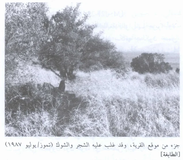
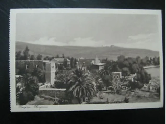
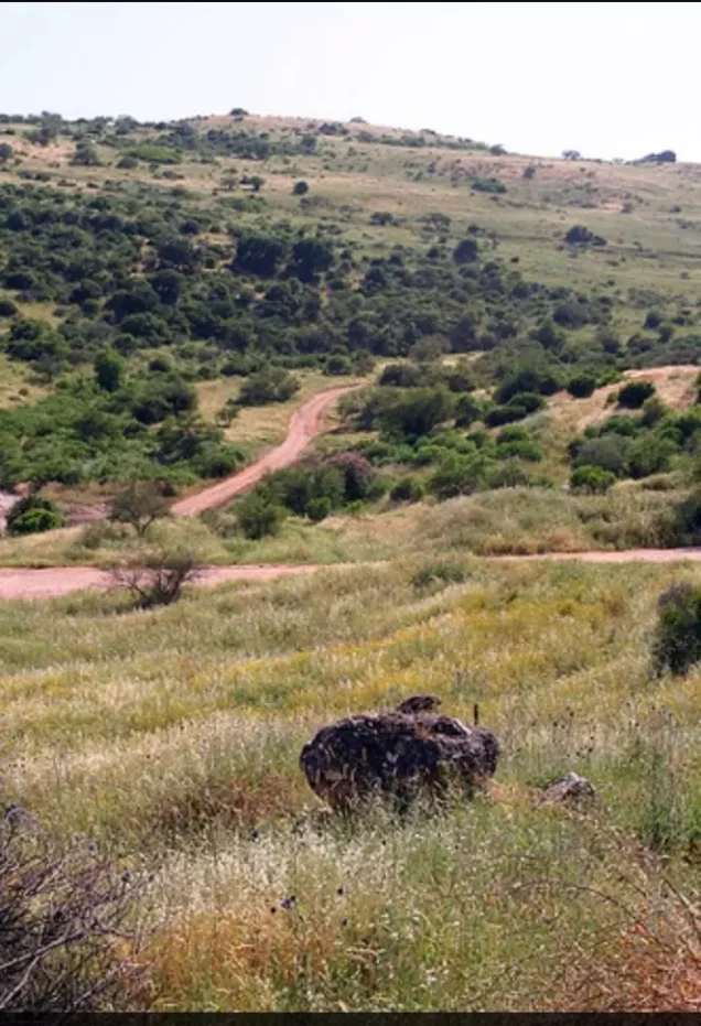
In Walid Khalidi's field description, piles of stones and the remains of crumbling stone walls were scattered across the former village site, parts of which were covered with thorns and cactus.
Nearby churches, monasteries, and shrines remained standing at the time of the survey.
Part of the surrounding land was used as pasture, while other areas were cultivated.
The wider area had also become an important tourist destination because of its Christian and archaeological landmarks.
Palestine Remembered dates one field photograph of the destroyed village to 1987. This documentation belongs to the field research undertaken for All That Remains between 1987 and 1990.
It therefore does not constitute direct comprehensive field verification of all former al-Tabigha lands in 2026.
Sources
- PalQuestPalQuest – al-Tabigha
- PalQuestPalQuest – Operation Yiftach
- PalQuestPalQuest – al-Zanghariyya; documentation of Operation Matate / Broom orders
- Palestine RememberedPalestine Remembered – al-Tabigha, Tiberias District
- Palestine RememberedPalestine Remembered – al-Tabigha entry from Walid Khalidi's All That Remains
- Institute for Palestine StudiesInstitute for Palestine Studies – Walid Khalidi, All That Remains
- all4palestine.orgGovernment of Palestine – Census of Palestine 1931
- pcbs.gov.psGovernment of Palestine – Census of Palestine 1922
- PalQuestPalQuest – All That Remains: Methodology and Field Research
Photo gallery
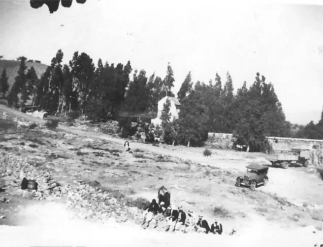
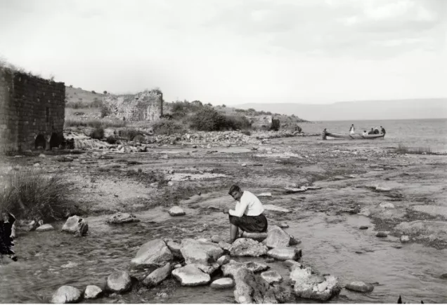
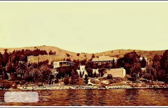
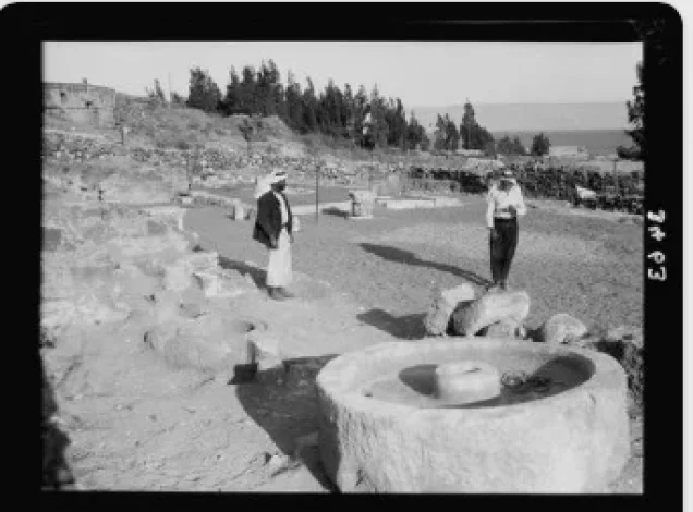
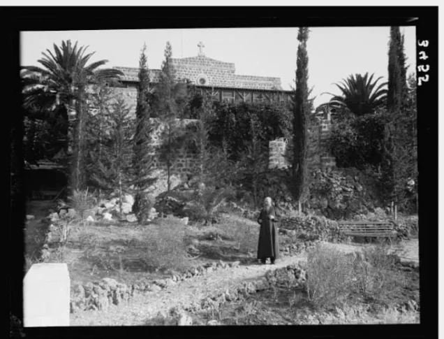
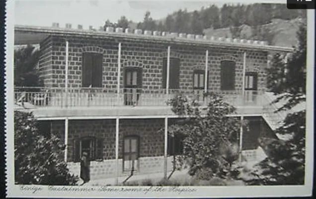
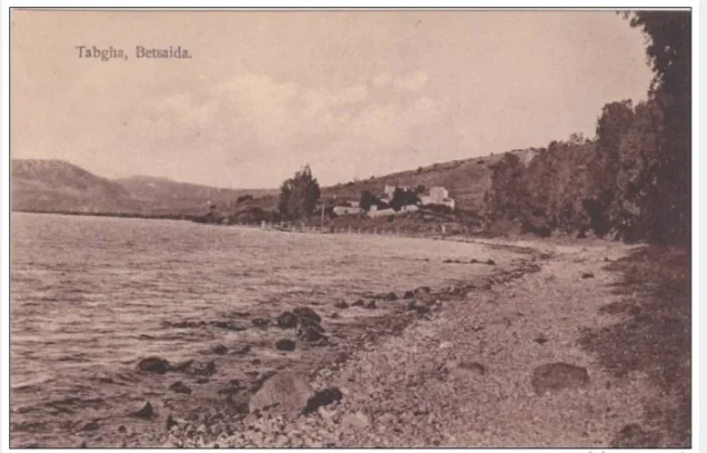
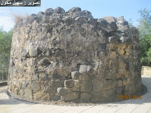
Photos from the village's people
Photos sent in by visitors and published after review.
Add a photo of this village
Log in to add photos of this village.
Other villages from Tiberias

More from the archive


 Download Our Palestine App
The whole archive in the palm of your hand: depopulated villages, the Nakba, the massacres and Al-Aqsa — free, with no ads to erase the story.
Download Our Palestine App
The whole archive in the palm of your hand: depopulated villages, the Nakba, the massacres and Al-Aqsa — free, with no ads to erase the story.



Comments
No comments yet — be the first to write one.
Add your comment
Name and email are optional. Comments appear after review.