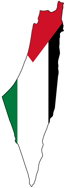
The depopulated village of Kafr 'Inan / District of Akka (Acre)
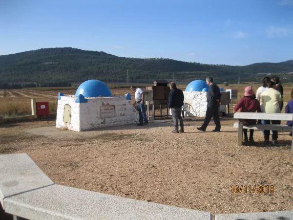
District of Akka (Acre)
Kafr 'Inan
About the depopulated village of Kafr 'Inan
- District
- Akka (Acre)
- Date Kafr 'Inan was occupied
- 30 October 1948
- Population in 1948
- 420
- Military operation
- Operation Hiram
- Brigade that carried it out
- Golani Brigade
- Distance from the governorate centre
- 33 (km) East of Acre
- Elevation above sea level
- 325 كم شرق عكا
- Cause of displacement
- Expulsion by Zionist troops
- Extent of destruction
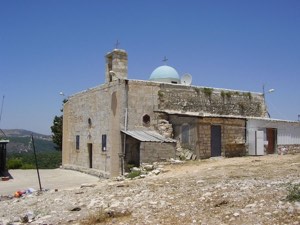
- Kafr 'Inan was mostly destroyed with the exception of the village mosque and its shrine.
- Ethnic cleansing
- Kafr 'Inan inhabitants were completely ethnically cleansed.
- Settlements built on the built-up area of Kafr 'Inan after 1948
- Kfar Hananya
Hover a dot to read the village name, or click to open its card.
Borders of the depopulated village of Kafr 'Inan
North
Bayt Jann
North-east
Al-Sammu'i
West
al-Rama
The depopulated village of Kafr 'Inan / District of Akka (Acre)
East
Al-Farradiyya
South
Maghar
District: Akka (Acre)
Population 1948: 420
Occupation date: 01/10/1948
Jewish settlements on village/town land before 1948: None
Jewish settlements on village/town land after 1948: Kfar Hananya
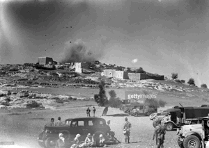
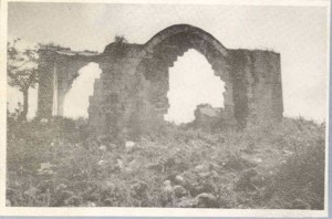
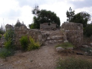
Photo gallery
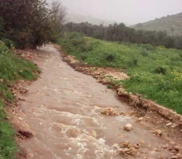


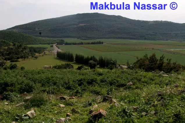


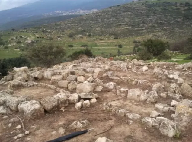
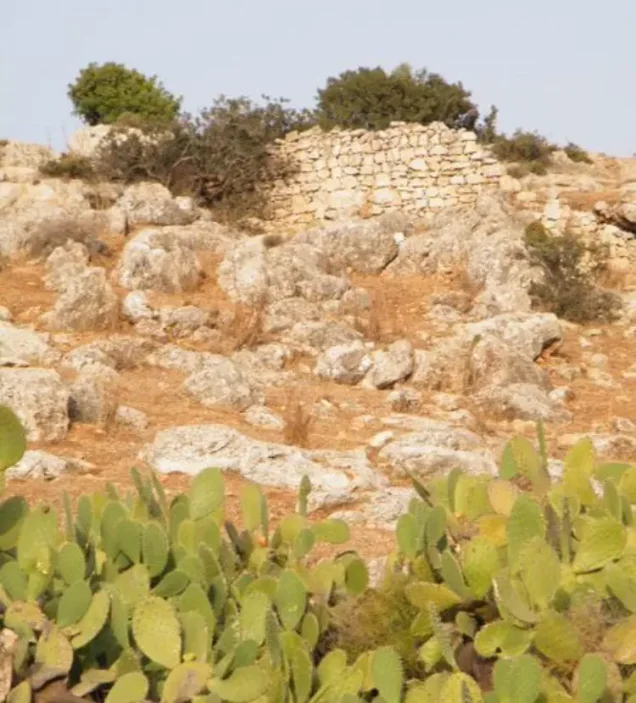
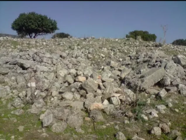
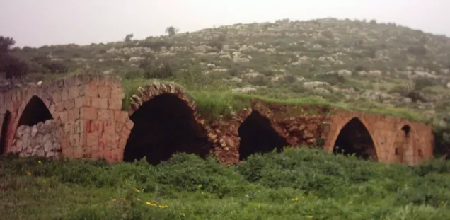
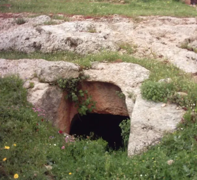
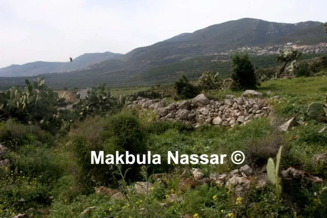
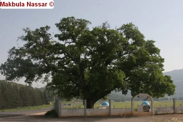

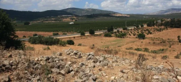
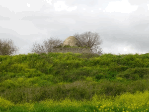
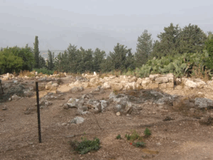
Photos from the village's people
Photos sent in by visitors and published after review.
Add a photo of this village
Log in to add photos of this village.
More from the archive
 Download Our Palestine App
The whole archive in the palm of your hand: depopulated villages, the Nakba, the massacres and Al-Aqsa — free, with no ads to erase the story.


Comments
No comments yet — be the first to write one.
Add your comment
Name and email are optional. Comments appear after review.