
The depopulated village of Bayt Jibrin / District of Hebron
Bayt Jibrin
About the depopulated village of Bayt Jibrin
- District
- Hebron
- Date Bayt Jibrin was occupied
- 27 October 1948
- Population in 1948
- 2,820
- Military operation
- Operation Yoav
- Brigade that carried it out
- Givati Brigade
- Who defended the village
- Egyptian Army
- Distance from the governorate centre
- 21 (km) Northwest of Hebron
- Elevation above sea level
- 275 m
- Cause of displacement
- Military assault by Zionist troops
- Extent of destruction
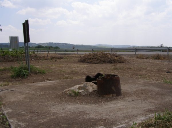
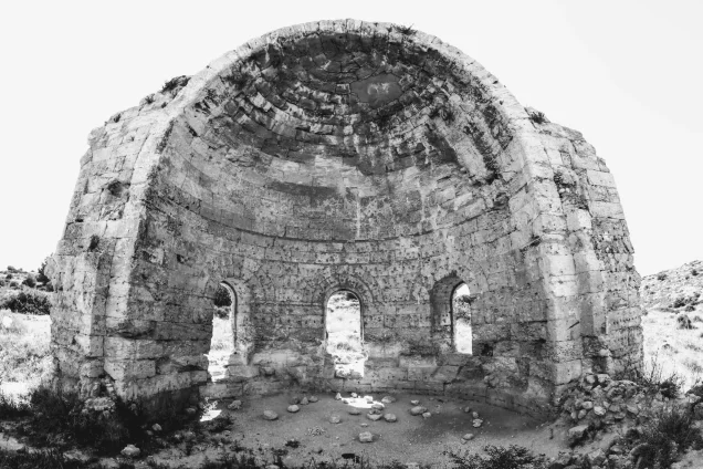
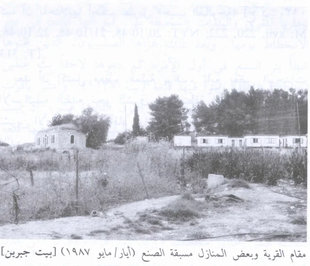
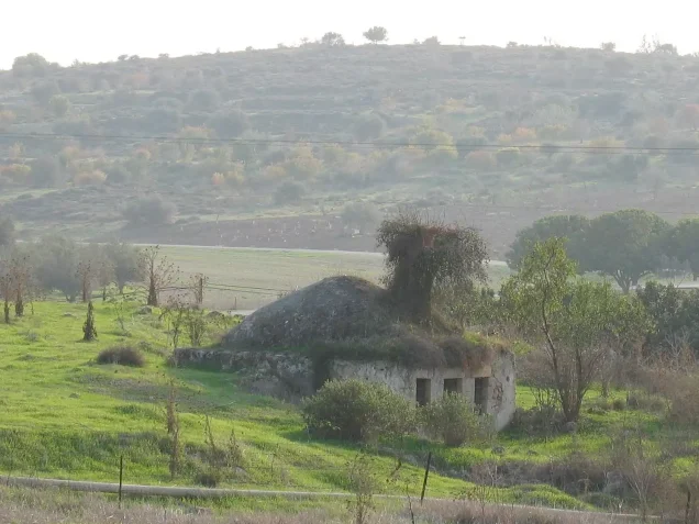
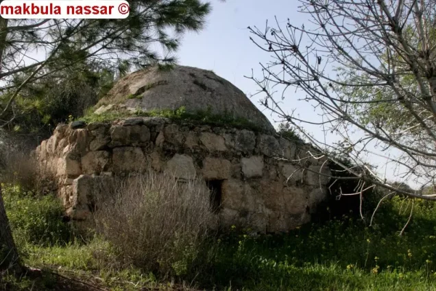
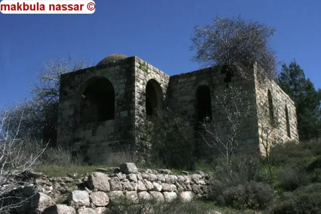
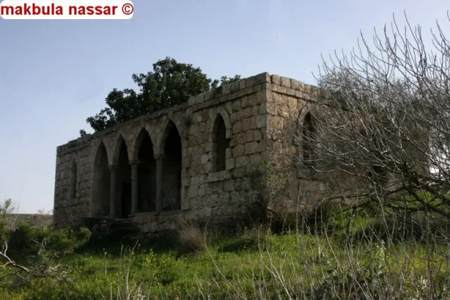
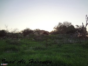
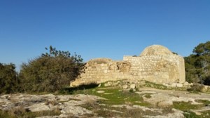
- Bayt Jibrin was mostly destroyed with the exception of the village Mosque, an unidentified shrine, and few houses, see Pictures section for details.
- Ethnic cleansing
- Bayt Jibrin inhabitants were completely ethnically cleansed.
- Settlements built on the built-up area of Bayt Jibrin after 1948
- Beyt Guvrin
- Refugees' migration routes
- Many refugees ended up in refugee camps around Bethlehem and Hebron, and some in 'Aqbit Jabir nearby Jericho. Many of these refugees were cleansed again to Amman's refugee camps after the 1967 war.
Hover a dot to read the village name, or click to open its card.
Borders of the depopulated village of Bayt Jibrin
Bayt Jibrin: A Depopulated Palestinian Village in the Hebron District
Bayt Jibrin was a Palestinian village in the Hebron District, located about 21 kilometres northwest of the city of Hebron, along the western foothills of the Hebron Mountains, at an average elevation of approximately 275 metres above sea level. It was one of the largest and most important villages in the area in terms of land, trade, and services. Israeli forces occupied the village on 27 October 1948 during the final phase of Operation Yoav, following a series of air raids and military attacks. Its inhabitants were displaced during the Nakba and the occupation of Palestine in 1948.
- Subdistrict
- Hebron
- Distance from district center
- 21 km Northwest of Hebron
- Average Elevation
- 275 meters above sea level
- Population in 1931
- 1,804 inhabitants - Official census
- Number of Houses in 1931
- 369 houses - Official census
- Population in 1944/1945
- 2,430 inhabitants - Government of Palestine statistics
- Estimated Population in 1948
- About 2,819 inhabitants - a later demographic estimate, not an official census
- Total Land Area in 1945
- 56,185 dunams
- Attack and Depopulation
- After Egyptian forces entered Palestine in May 1948, orders were issued to the First Battalion of the Egyptian Army to take positions in Bayt Jibrin. The village consequently became situated along one of the front lines between Egyptian and Israeli forces.
- Final Israeli Control
- 27 October 1948
- Military Operation
- Operation Yoav
- Military Unit
- Givati Brigade
- Cause of Depopulation
- Military assault by Zionist troops
- Settlements Documented on Village Lands
- Beyt Guvrin
Location
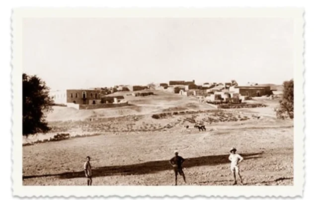
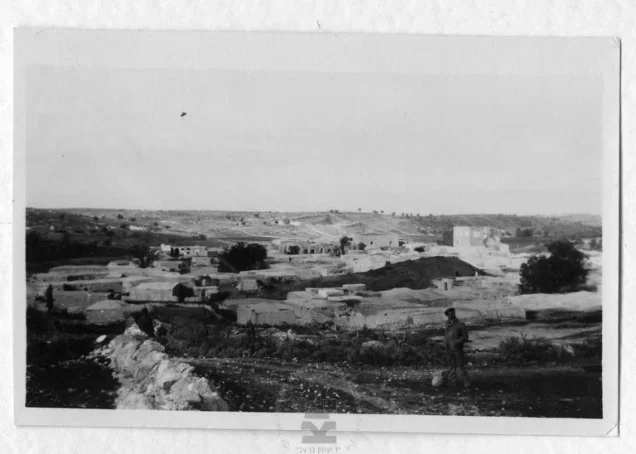
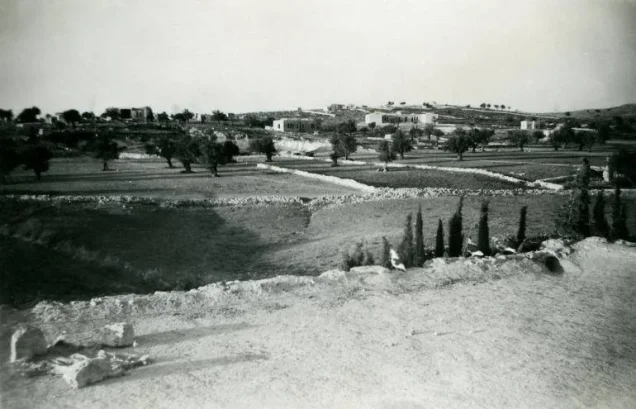
Bayt Jibrin stood on relatively level ground along the western foothills of the Hebron Mountains, south of Wadi Bayt Jibrin. The valley and the village's location made it an important crossroads connecting routes toward Hebron, Jerusalem, Ramla, and al-Faluja.
Most of the village houses were built of stone and mud. In the late nineteenth century, Bayt Jibrin was described as a large village occupying a strong position on the slope of a valley, with olive groves extending across the valley to the north.
PalQuest and Walid Khalidi give a distance of approximately 21 kilometres between Bayt Jibrin and Hebron and an average elevation of about 275 metres. Some other Palestinian sources provide slightly different figures, reaching approximately 26 kilometres and 287 metres.
The Name Bayt Jibrin
Walid Khalidi suggests that the name “Bayt Jibrin” is probably of Aramaic origin and means “House of the Mighty One” or “House of the Strong Man.”
Local tradition also associates the name with giants or mighty men and links them with ancient Canaanite inhabitants of the region. This account is best treated as local tradition rather than as a firmly established linguistic or archaeological fact.
Bayt Jibrin Through History
Bayt Jibrin was an ancient settlement with a long history of continuous habitation through several historical periods. The historian Josephus referred to it as “Betogabra.”
In 200 CE, the Roman emperor Septimius Severus granted the town the status of a Roman colony and renamed it “Eleutheropolis.” By the fourth century CE, it had become the seat of a Christian bishopric.
Bayt Jibrin came under Muslim rule in the seventh century CE. The village contained the shrine of Tamim Abu Ruqayya, one of the Companions of the Prophet. In the late tenth century, the Palestinian geographer al-Muqaddasi described Bayt Jibrin as a commercial centre serving the surrounding villages and towns.
During the Crusader period, the Crusaders called the town “Beth Giblin” and built a fortress there in 1137. Yaqut al-Hamawi reports that Salah al-Din al-Ayyubi later destroyed the Crusader fortress. Mamluk Sultan al-Zahir Baybars subsequently ended Crusader control over the town.
Bayt Jibrin prospered during the Mamluk period and, by the late thirteenth century, had become a station on the postal route linking Gaza with al-Karak.
In 1596, Bayt Jibrin was a village in the Gaza subdistrict of the Gaza district, with an estimated population of about 275. Its inhabitants paid taxes on wheat, barley, sesame, goats, beehives, and other products.
Population
In the late nineteenth century, the population of Bayt Jibrin was estimated at approximately 900 to 1,000. Baedeker's guide recorded about 1,000 inhabitants in 1912.
The official 1922 Census of Palestine recorded 1,420 inhabitants, while the 1931 census recorded 1,804.
According to the official 1944/1945 Village Statistics, the population stood at 2,430, all of whom were Muslims.
The figure of approximately 2,819 inhabitants for 1948 and the estimate of 17,310 refugees and their descendants in 1998, both published by Palestine Remembered, are later estimates and not official censuses of the Government of Palestine.
Population of Bayt Jibrin
- 1596275Historical figure based on Ottoman records
- Late nineteenth centuryAbout 900–1,000Historical estimate
- 1912About 1,000Historical estimate
- 19221,420Official census
- 19311,804Official census
- 1944/19452,430Government of Palestine statistics
- 1948About 2,819Later estimate
- 199817,310Estimate of refugees and their descendants
Number of Houses
The 1931 census recorded 369 houses in Bayt Jibrin. The figure of approximately 576 houses for 1948, published by Palestine Remembered, is a later estimate.
Number of Houses in Bayt Jibrin
- 1931369Official census
- 1948About 576Later estimate
Education, Institutions, and Public Services
During the British Mandate period, Bayt Jibrin served as a commercial and service centre for several surrounding villages. It had two schools, one for boys and another for girls, as well as a medical clinic, a bus station, and a police post.
Local accounts from former villagers indicate that education expanded during the 1930s and 1940s and that the boys' school received pupils from neighbouring villages. However, details concerning the highest grade and the precise dates on which the schools were established vary between accounts and are therefore not treated here as fixed official statistics.
The village also held a weekly market every Tuesday, attracting residents of neighbouring villages to buy and sell goods and strengthening Bayt Jibrin's role as a local economic centre.
Family guesthouses, or madafat, played an important social role in village life. Traditional kuttab schools also continued to provide instruction in the Qur'an and Arabic alongside the formal school system.
Land of Bayt Jibrin
According to the 1944/1945 statistics, the total land area of Bayt Jibrin amounted to 56,185 dunams.
Arab ownership amounted to 54,962 dunams, Jewish ownership to 1,008 dunams, while 215 dunams were classified as public land.
Land Ownership in Bayt Jibrin in 1944/1945
- Arab ownership54,962 dunums98%
- Jewish ownership1,008 dunums2%
- Public land215 dunums<1%
Agriculture and Economic Life
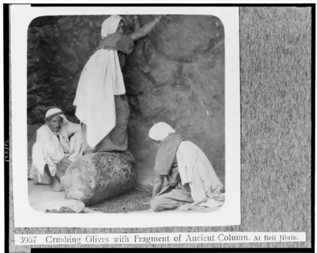
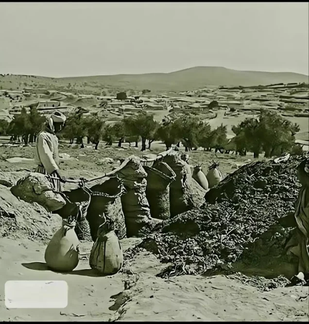
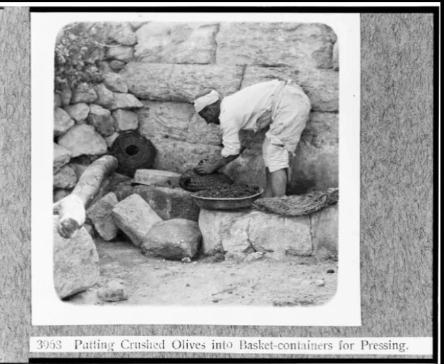
The inhabitants of Bayt Jibrin depended heavily on agriculture, particularly the cultivation of cereals, fruit, and olives. Most farming was rain-fed, while olive groves were concentrated in the hilly areas surrounding the village.
According to the 1944/1945 statistics, a total of 31,616 dunams were devoted to cereals, including 30,613 dunams of Arab-owned land, 815 dunams of Jewish-owned land, and 188 dunams of public land.
A further 2,477 dunams were irrigated or used for plantations, all of them Arab-owned.
The total area cultivated or suitable for cultivation amounted to 34,093 dunams, approximately 61 percent of the village's total land area.
Some Palestinian sources report approximately 3,500 dunams planted with olive trees. This figure represents a crop category within the agricultural land and should not be added separately to the overall land-use total.
Land Use in Bayt Jibrin in 1944/1945, in Dunams
- Arab
- Jewish
- Public
- Cereals31,616 dunums
- Irrigated and plantation land2,477 dunums
- Built-up area287 dunums
- Uncultivable land21,805 dunums
Archaeology in Bayt Jibrin
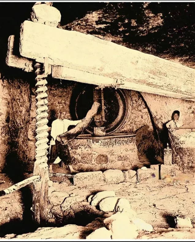
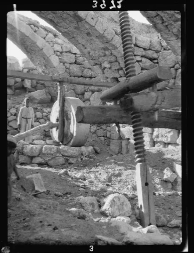
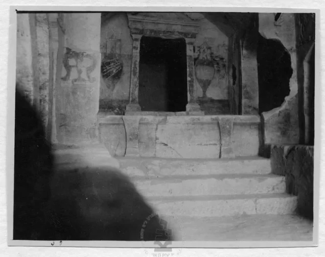
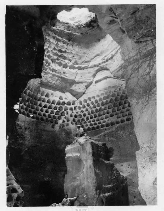
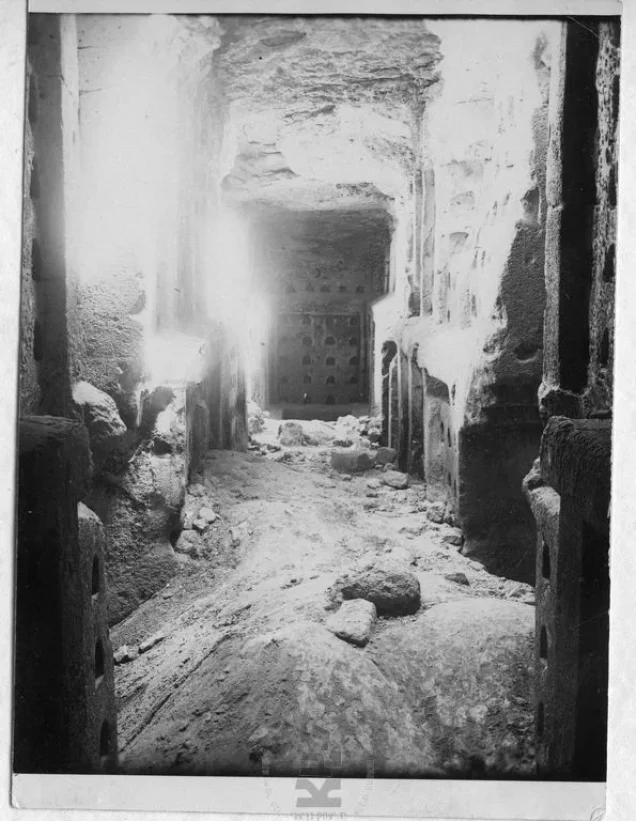
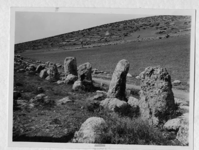
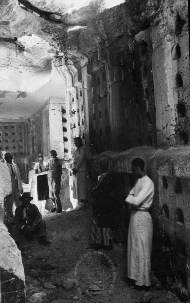
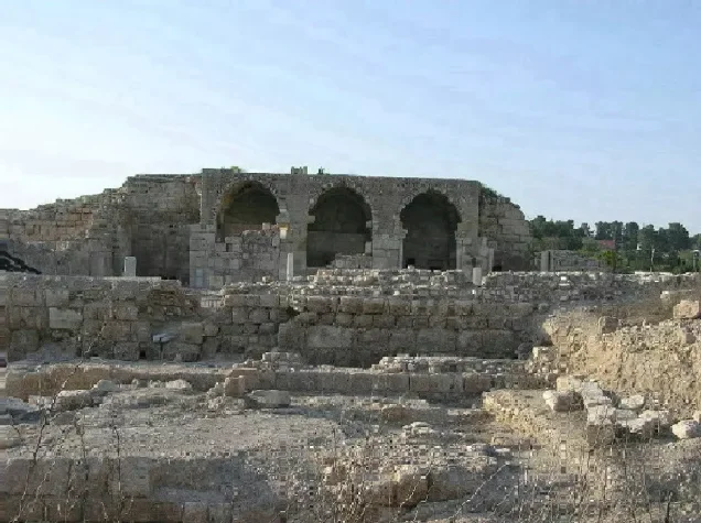
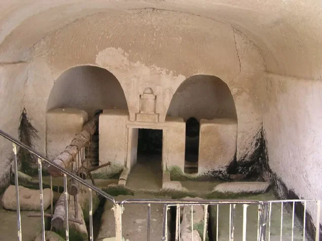
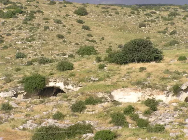
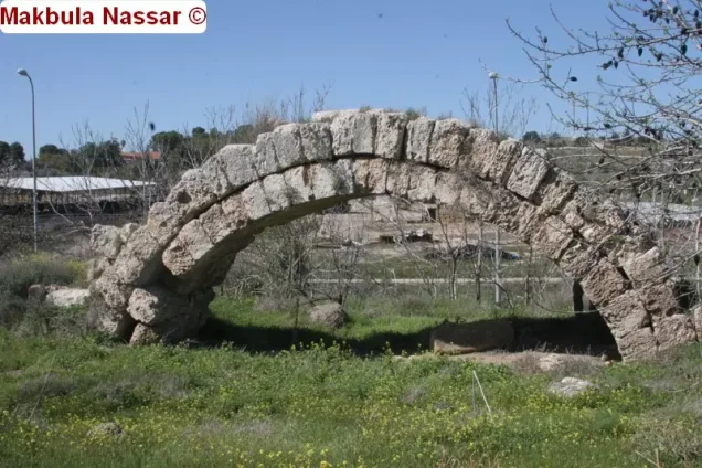
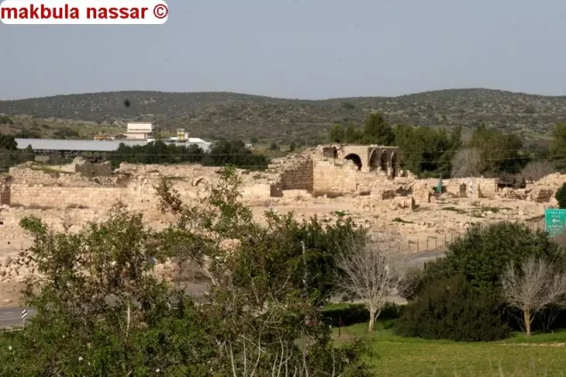
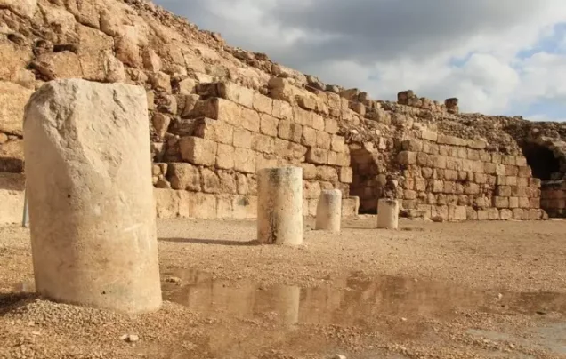
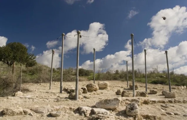
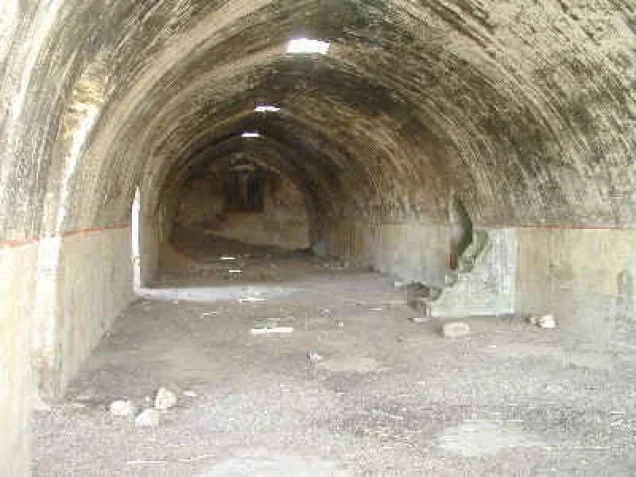
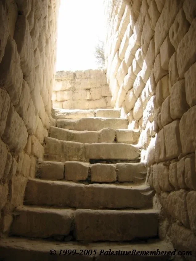
Bayt Jibrin is one of the richest archaeological areas in Palestine. The region was occupied during numerous historical periods and contains many caves, rock-cut installations, tombs, presses, cisterns, and other remains.
Sources document caves that were used for habitation and other purposes, burial chambers, rock-cut columbaria, and architectural remains from several ancient periods.
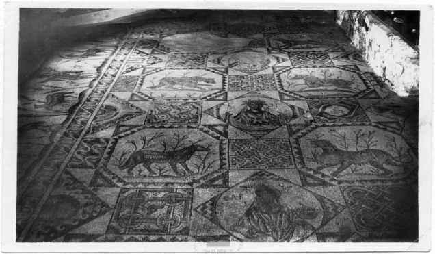
Archaeologists working in the area uncovered mosaic floors belonging to two churches, one dating to the fourth century CE and the other to the sixth century CE.
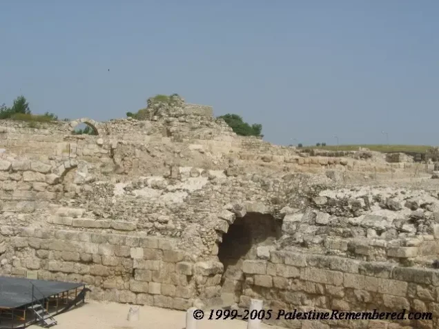
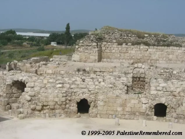
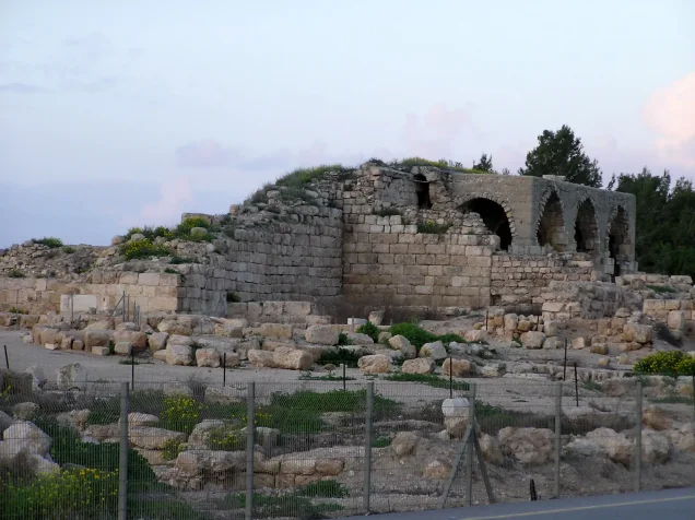
Remains of the Roman and Crusader towns were also present around the village, including remains associated with Eleutheropolis and the Crusader fortress.
Claims that approximately one thousand caves were discovered or that as many as thirty thousand caves existed in the surrounding area have not been adopted in this article because sufficient documentation for these figures was not found in the principal Palestinian sources reviewed.
The Nakba and Bayt Jibrin Before the Occupation
After Egyptian forces entered Palestine in May 1948, orders were issued to the First Battalion of the Egyptian Army to take positions in Bayt Jibrin. The village consequently became situated along one of the front lines between Egyptian and Israeli forces.
The Bayt Jibrin area also received displaced Palestinians from other parts of the country. Among them were refugees from Jaffa, some of whom temporarily sheltered in the historic caves surrounding the village.
Operation Yoav and the Occupation of Bayt Jibrin
Operation Yoav
Operation Yoav began on 15 October 1948. Its objective was to break through Egyptian lines in southern Palestine and establish a connection between Israeli forces in the Negev and those farther north.
The Givati, Yiftach, Hanegev, and Harel brigades participated in Operation Yoav as a whole. In the Bayt Jibrin and Hebron Hills sector, however, detailed material concerning the village associates the direct military advance primarily with the Givati Brigade, which was assigned to move northward and eastward toward Hebron.
In this area, Operation Yoav was coordinated with Operation Ha-Har, which targeted Palestinian villages in the southern part of the Jerusalem corridor.
Bombardment
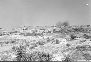
Bayt Jibrin was subjected to aerial attacks and bombardment during Operation Yoav. PalQuest, drawing on the sources used by Walid Khalidi, reproduces differing accounts concerning the beginning of the bombardment. One account describes heavy bombing on 15–16 October, while contemporary press reports document an air raid during the night of 18–19 October, followed by further attacks over the following days.
The bombardment and military developments surrounding the village contributed to the departure of its inhabitants before the final occupation.
The Final Assault and Date of Occupation
The sources reproduced by PalQuest differ slightly regarding the date of the initial direct assault on Bayt Jibrin. One account places it on the night of 24 October, while another gives 26 October.
Both accounts, however, agree that Israeli forces completed the occupation of Bayt Jibrin on 27 October 1948.
Palestine Remembered lists 29 October 1948 in its statistical table as the occupation date, but the detailed historical narrative published on the same site, in agreement with Walid Khalidi's account as reproduced by PalQuest, identifies 27 October as the date on which the occupation was completed. This article therefore adopts 27 October 1948.
The occupation of Bayt Jibrin represented an important military advance on the southern front and contributed to tightening the encirclement of Egyptian forces in the al-Faluja Pocket.
Displacement of the Population and Fate of the Village
Air raids and the military advance in the Bayt Jibrin area led to the displacement of the village's inhabitants. Organized Palestinian community life in Bayt Jibrin ended with the occupation in late October 1948.
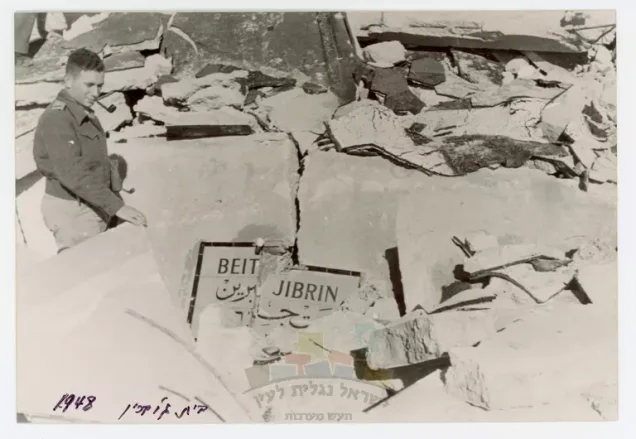
Walid Khalidi's account does not indicate that the entire village was demolished at the moment of occupation. PalQuest, through a source cited by Khalidi, reports that a request to blow up some of the village houses on the day of occupation was not carried out at that time.
This detail is cited here only as reproduced through PalQuest and Walid Khalidi, rather than through direct reliance on the original Israeli source.
Most of Bayt Jibrin's built-up area was destroyed during the subsequent period, while a limited number of historic village buildings survived.
Israeli Settlement Established on the Lands of Bayt Jibrin
Beit Guvrin
The settlement of Beit Guvrin was established in 1949 on the lands of Bayt Jibrin, north of the site of the Palestinian village.
- 1949Beit Guvrin
Established on the lands of Bayt Jibrin, north of the Palestinian village site
The Site of Bayt Jibrin After the Nakba
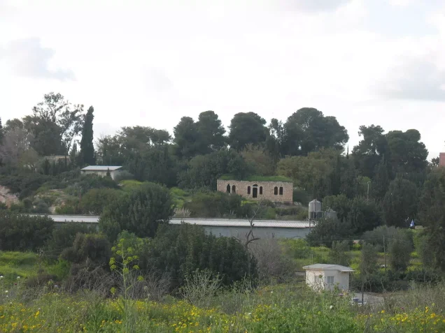
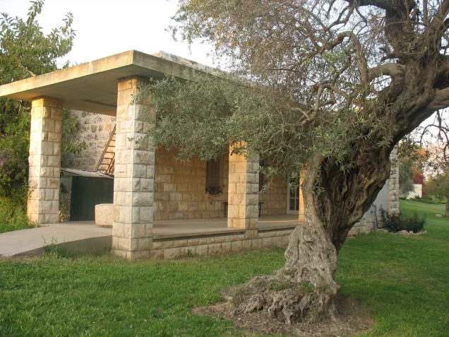
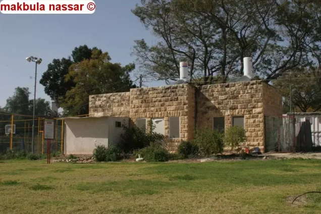
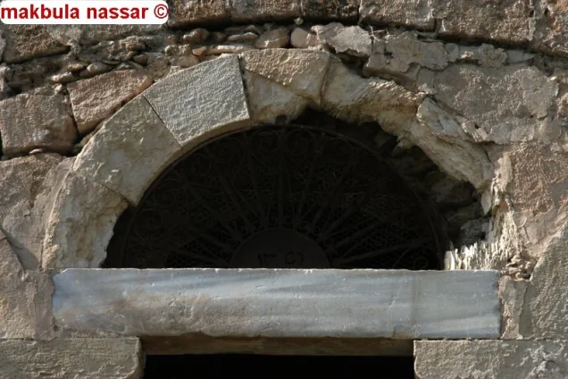
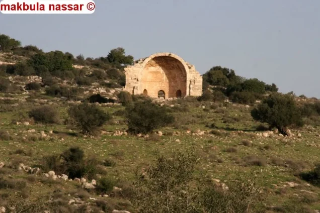
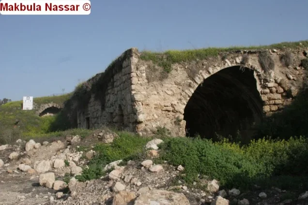
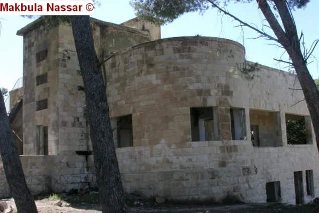
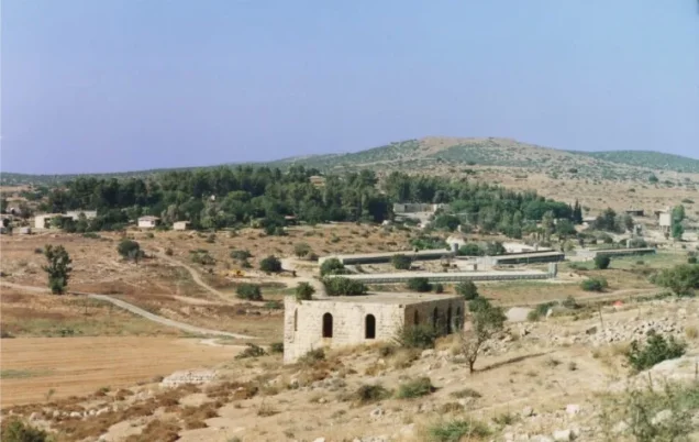
According to the field documentation used by Walid Khalidi, a mosque, an unidentified shrine, and several houses remained standing at the village site.
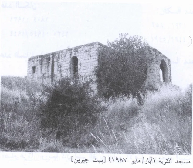
The surviving mosque was a stone structure with a flat roof and arched windows and doors. At the rear of the building was a broad arcade topped by a dome.
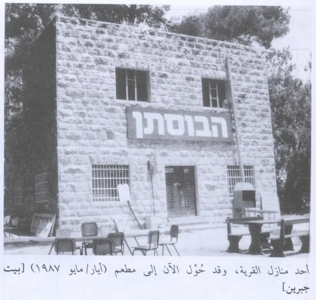
Some of the surviving houses were in use at the time of documentation, while others stood abandoned. One two-storey stone house had been converted into a restaurant.
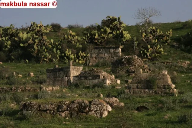
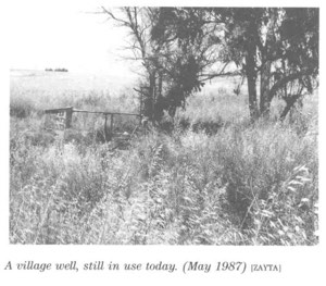
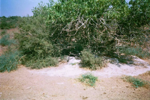
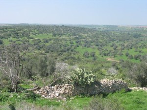
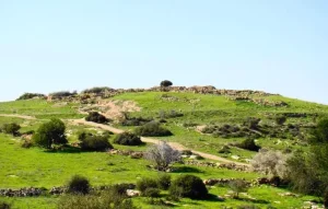
Grass, shrubs, cactus plants, and eucalyptus trees grew around the village site, while the surrounding archaeological area became a destination for visitors.
These details reflect the condition of the site at the time of the field documentation relied upon by Walid Khalidi and should not be interpreted as a comprehensive field survey updated to 2026.
Occupation and Depopulation Chronology
- May 1948
The Nakba and Bayt Jibrin Before the Occupation
After Egyptian forces entered Palestine in May 1948, orders were issued to the First Battalion of the Egyptian Army to take positions in Bayt Jibrin. The Bayt Jibrin area also received displaced Palestinians from other parts of the country.
- 15 October 1948
Operation Yoav
Operation Yoav began on 15 October 1948. Its objective was to break through Egyptian lines in southern Palestine and establish a connection between Israeli forces in the Negev and those farther north.
- Not specified precisely
Bombardment
Bayt Jibrin was subjected to aerial attacks and bombardment during Operation Yoav. PalQuest, drawing on the sources used by Walid Khalidi, reproduces differing accounts concerning the beginning of the bombardment.
- 27 October 1948
The Final Assault and Date of Occupation
The sources reproduced by PalQuest differ slightly regarding the date of the initial direct assault on Bayt Jibrin. One account places it on the night of 24 October, while another gives 26 October.
Sources
- PalQuest – Interactive Encyclopedia of the Palestine Question: Bayt Jibrin.
- PalQuest: Operation Yoav.
- Palestine Remembered: Bayt Jibrin, Hebron District.
- Palestine Remembered: Historical Study of Bayt Jibrin.
- Walid Khalidi, All That Remains, entry on Bayt Jibrin.
- Mustafa Murad al-Dabbagh, Biladuna Filastin, material relating to Bayt Jibrin and the Hebron District.
- Government of Palestine, Department of Statistics, Village Statistics, 1945.
- Palestine censuses of 1922 and 1931.
Photo gallery
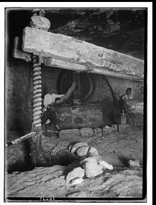
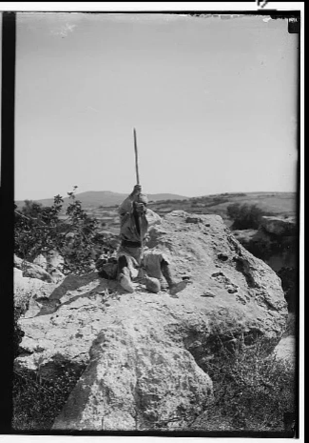
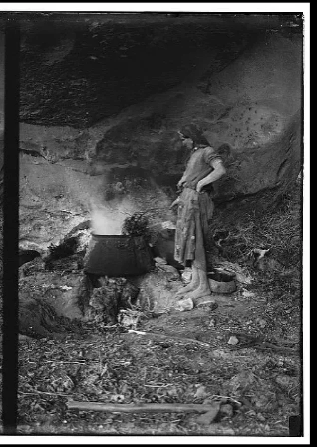
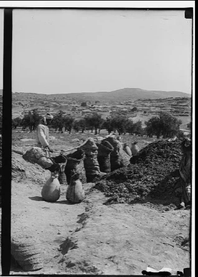
Photos from the village's people
Photos sent in by visitors and published after review.
Add a photo of this village
Log in to add photos of this village.
Other villages from Hebron
More from the archive
 Download Our Palestine App
The whole archive in the palm of your hand: depopulated villages, the Nakba, the massacres and Al-Aqsa — free, with no ads to erase the story.
Download Our Palestine App
The whole archive in the palm of your hand: depopulated villages, the Nakba, the massacres and Al-Aqsa — free, with no ads to erase the story.



Comments
No comments yet — be the first to write one.
Add your comment
Name and email are optional. Comments appear after review.