
The depopulated village of Dayr al-Dubban / District of Hebron

Dayr al-Dubban
About the depopulated village of Dayr al-Dubban
- District
- Hebron
- Date Dayr al-Dubban was occupied
- 23 October 1948
- Population in 1948
- 850
- Military operation
- Operation Yoav
- Who defended the village
- Local militia and Egyptian Army/Muslim Brotherhood Battalion
- Elevation above sea level
- 225 m
- Cause of displacement
- Military assault by Zionist troops
- Extent of destruction
- Dayr al-Dubban was completely obliterated and defaced.
- Ethnic cleansing
- Dayr al-Dubban inhabitants were completely ethnically cleansed.
- Settlements built on the built-up area of Dayr al-Dubban after 1948
- Luzit
Hover a dot to read the village name, or click to open its card.
Borders of the depopulated village of Dayr al-Dubban
Dayr al-Dubban – Depopulated Palestinian Village of the Hebron District
Dayr al-Dubban was a depopulated Palestinian village in the Hebron District. It stood on a sloping hill at the western end of the foothills of the Hebron Mountains, approximately 26 kilometers northwest of Hebron, at an average elevation of about 225 meters above sea level.
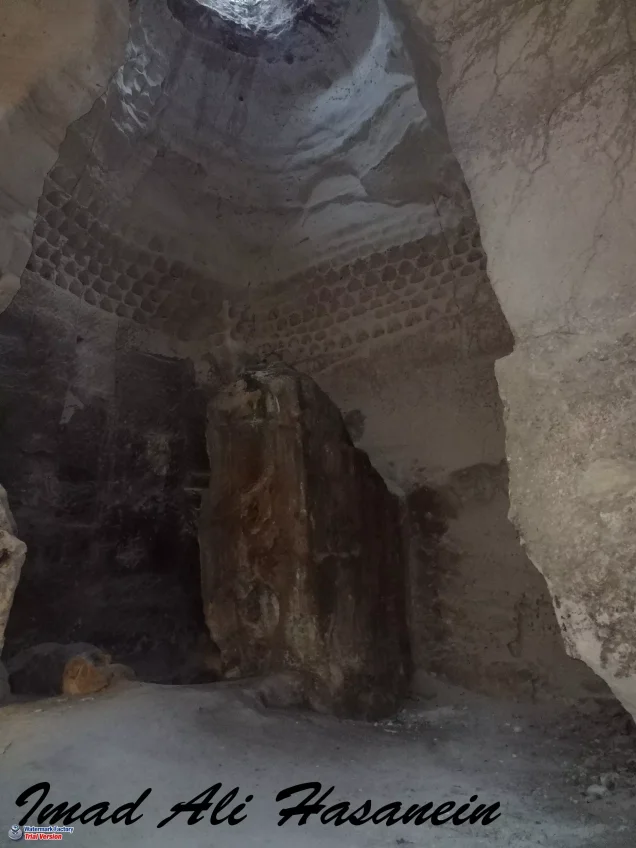
Its population was Muslim during the Mandate period, and the village economy was based primarily on rainfed agriculture and animal husbandry. Dayr al-Dubban also stood on a rich archaeological site containing building foundations, mosaic floors, burial places, and rock-cut presses.
Israeli occupation forces captured Dayr al-Dubban on 23–24 October 1948 during the Giv'ati Brigade's northward and eastward advance toward the Hebron hills as part of Operation Yoav. Most inhabitants of the surrounding area had already fled before Israeli forces arrived, while some of those who remained were expelled.
Location and Geography
Dayr al-Dubban stood on a sloping hill at the western end of the foothills of the Hebron Mountains.
It lay approximately 26 kilometers northwest of Hebron at an average elevation of about 225 meters above sea level.
A secondary road linked the village with 'Ajjur to the northeast, while another connected it with Tall al-Safi to the northwest.
These roads ultimately joined the major routes connecting Hebron, Ramla, Gaza, and Jerusalem.
The village lands bordered those of 'Ajjur, Tall al-Safi, Zikrin, Ra'na, and Kudna, together with several khirbas and rural sites in the surrounding area.
Name
Walid Khalidi relates the name Dayr al-Dubban to the colloquial Arabic word al-dubban, meaning “flies.”
He then raises, only as a question, the possibility of some ancient connection with Ba'l Zabub, the “lord of flies” associated with ancient 'Aqrun.
There is not enough evidence to turn this speculation into an established historical claim that the ancient inhabitants of the site worshipped Ba'l Zabub.
Ottoman Period
In 1596, Dayr al-Dubban was a village in the nahiya of Jerusalem in the liwa' of Jerusalem.
Its population was approximately 396.
The inhabitants paid taxes on wheat, barley, olive trees, vineyards, fruit trees, goats, and beehives.
In the early nineteenth century, American scholar Edward Robinson passed near Dayr al-Dubban while traveling to examine caves in the surrounding area.
Built Environment
The village developed on the sloping hill between the Hebron uplands and the more open country to the west.
The official 1944/45 statistics classified approximately 58 dunams as built-up land.
Agricultural land, grazing areas, caves, and archaeological remains surrounded the residential area.
Population and Houses
The inhabitants of Dayr al-Dubban were Muslims.
- 1596About 396Historical estimate based on Ottoman records
- 1922454Official Census of Palestine; all inhabitants were Muslims
- 1931543Official census: 271 males and 272 females, all Muslims
- 1945730Official statistics; all inhabitants were Palestinian Arab Muslims
- 1948About 847Later demographic estimate, not an official Mandate census
- 1998About 5,200 refugees and descendantsLater estimate published by Palestine Remembered
The official 1931 census recorded 112 inhabited houses in Dayr al-Dubban.
The estimate of approximately 174 houses in 1948 is a later calculation rather than an official Government of Palestine census figure.
Education and Religious Institutions
Walid Khalidi and PalQuest do not provide clear village-specific documentation of an independent school or a specifically identified mosque in Dayr al-Dubban before the Nakba.
No particular educational or religious institution is therefore attributed to the village without stronger Palestinian village-level evidence.
Water Resources
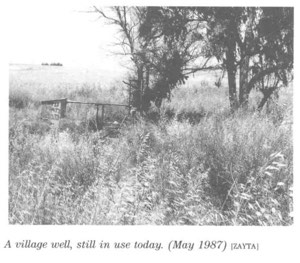
Historical descriptions of Dayr al-Dubban and its surroundings refer to wells and extensive caves, including a well west of the village in nineteenth-century accounts.
Khalidi's principal village entry does not provide a detailed list of named springs or wells, so unsupported water-source names are not added.
Economic Life and Agriculture
Rainfed agriculture formed the basis of Dayr al-Dubban's economy, followed by animal husbandry.
The inhabitants cultivated two cereal crops each year, one in summer and another in winter.
According to local customary practice, the agricultural land was divided into eastern and western sections. One section was cultivated while the other was left fallow, and the pattern was later reversed.
Fig trees and grapevines were gradually planted near the village site, and vegetables were also cultivated.
Uncultivated land was used for livestock grazing.
Palestine Remembered separately records 153 dunams of olive groves. This is treated as a crop-specific figure and is not added a second time to the official land-use totals.
Land Ownership, 1944/45
The total land area of Dayr al-Dubban was 7,784 dunams.
- Arab7,777 dunums100%
- Jewish0 dunums0%
- Public7 dunums<1%
The official figures balance exactly: 7,777 + 7 = 7,784 dunams.
Palestine Remembered presents the same figures using its own terminology: 7,777 dunams “Palestinian,” 0 dunams “Transferred to Zionists,” and 7 dunams “Communal/Public.”
The wording “Transferred to Zionists” should be preserved when reproducing that source's classification rather than automatically replacing it with the official “Jewish” category.
Land Use, 1944/45
- Arab
- Public
- Cereals5,358 dunums
- Total cultivable/cultivated land5,358 dunums
- Non-cultivable land2,368 dunums
- Built-up land58 dunums
- Total non-cultivable and built-up2,426 dunums
The official table balances exactly: 5,358 dunams of cultivated or cultivable land plus 2,426 dunams of built-up and non-cultivable land equal the total village area of 7,784 dunams.
Archaeological Sites
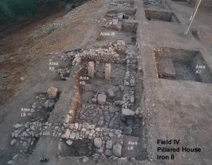
Dayr al-Dubban stood on a rich archaeological site.
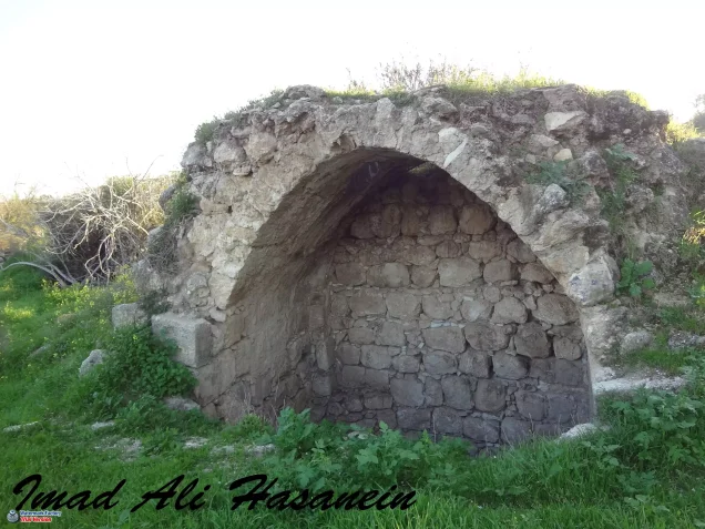
The remains included foundations of ruined buildings, mosaic floors, burial places, and presses cut into the rock.
The surrounding area was also archaeologically dense: Khalidi records five sites within approximately two square kilometers around the village.
Palestine Remembered additionally identifies Khirbat al-Jalanah and Khirbat Tnayfa among local archaeological sites.
The principal sources do not securely date all of these remains, so they should not collectively be assigned to the Roman, Byzantine, or any other single period without specialist archaeological evidence.
Operation Yoav
Operation Yoav began on 15 October 1948 and continued into early November.
Its principal objective was to break through Egyptian lines and link Israeli forces in the Negev with those positioned farther north in the area south of Ramla.
The Israeli army committed several brigades to the operation, principally Giv'ati, Yiftach, and the Negev Brigade, with other formations participating in related sectors and stages.
The offensive involved extensive aerial, artillery, and ground attacks across the southern front and subsequently expanded northward and eastward toward the Hebron hills.
PalQuest explicitly lists Dayr al-Dubban among the Palestinian villages affected by Operation Yoav.
Advance toward the Hebron Hills
During the final week of October 1948, the Giv'ati Brigade pushed northward and eastward toward the Hebron region while other Israeli formations advanced toward Gaza and the Negev.
On 23 October, Israeli units broke through Egyptian lines in the area, helping link Israeli-held territory in the Hebron hills with the Jerusalem corridor.
Several Palestinian villages in the region fell during this advance, including Ra'na, 'Ajjur, Zikrin, Kudna, and Dayr al-Dubban.
Occupation of Dayr al-Dubban
According to Walid Khalidi, citing Benny Morris, Dayr al-Dubban fell to Israeli occupation forces on 23–24 October 1948.
The village was captured during the Giv'ati Brigade's northward and eastward push toward the Hebron hills within Operation Yoav.
Some later indexes use either 23 or 24 October as a single occupation date, but the more precise range in the principal account is 23–24 October.
Military Unit
The military formation securely identified with the occupation of Dayr al-Dubban was the Giv'ati Brigade.
Khalidi's village-specific entry does not identify a particular Giv'ati battalion.
Giv'ati's Fourth Battalion is explicitly documented in the capture of neighboring 'Ajjur on 23 October, but that evidence should not be transferred automatically to Dayr al-Dubban.
The most precise village-level attribution therefore remains the Giv'ati Brigade.
Depopulation
Khalidi records that most inhabitants of the Hebron-area villages along the Israeli axis of advance had already fled before Israeli forces reached them.
Some inhabitants who remained were expelled after occupation.
The Dayr al-Dubban entry does not quantify how many villagers left before the arrival of Giv'ati and how many were subsequently expelled.
No more detailed departure narrative is therefore added without supporting evidence.
Occupation Chronology
- 15 October 1948
Beginning of Operation Yoav
Israeli forces launched a broad southern offensive intended to break Egyptian lines and connect the Negev with Israeli-held territory to the north.
- Second half of October 1948
Expansion toward the Hebron hills
The Giv'ati Brigade advanced northward and eastward while other formations attacked farther south and west.
- 23 October 1948
Breakthrough of Egyptian lines
Israeli forces broke through positions in the area and connected Israeli-held territory in the Hebron hills with the Jerusalem corridor.
- 23–24 October 1948
Occupation of Dayr al-Dubban
The village fell to the Giv'ati Brigade during its northward advance in Operation Yoav.
- Before and during occupation
Flight and expulsion
Most inhabitants of the surrounding Hebron-area villages had already fled, while some of those remaining were expelled; the village source does not quantify each group.
- After occupation; exact date not documented
Destruction
The village buildings were subsequently destroyed, although roads, terraces, caves, and some vegetation remained visible.
Israeli Settlements on Village Lands
Luzit was established in 1955 northeast of the former village site on Dayr al-Dubban's lands.
Walid Khalidi and PalQuest identify Luzit as the Israeli settlement established on the village's land.
Dayr al-Dubban Today
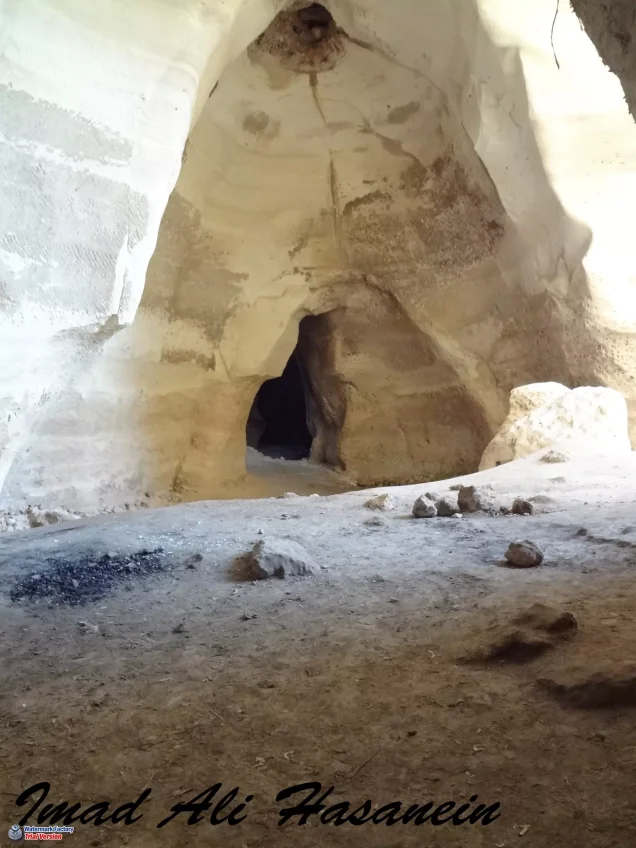
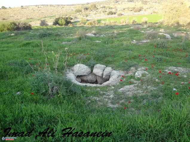
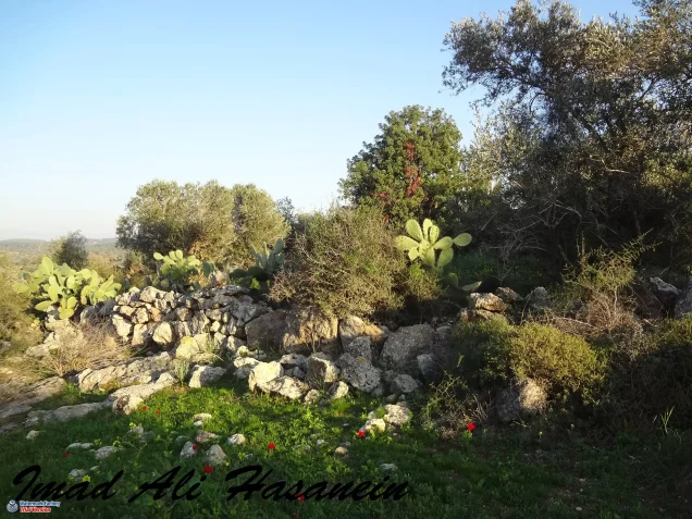
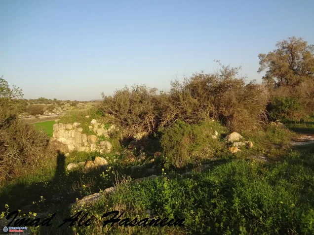
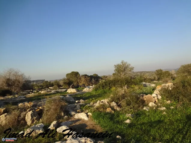
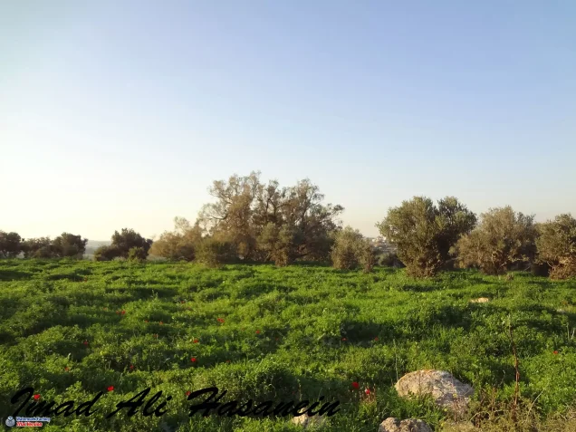
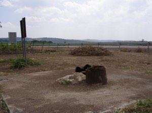
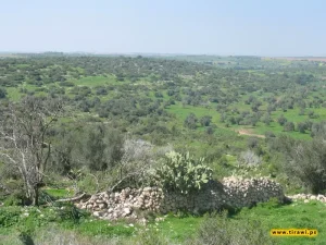
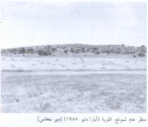
According to the field description published in Walid Khalidi's All That Remains, the village site had become overgrown with thorny plants, foxtail, mallow, a small amount of cactus, and some olive trees.
The former village roads remained easily identifiable.
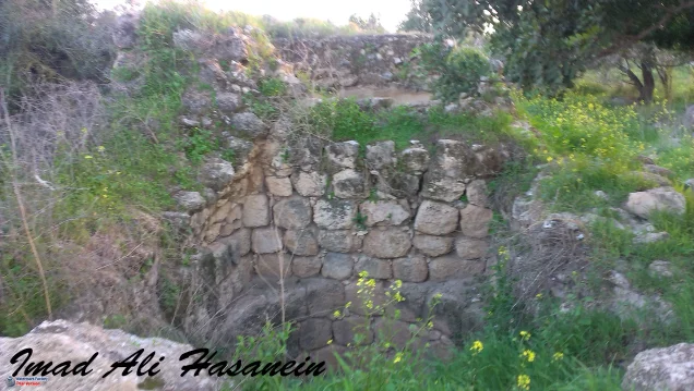
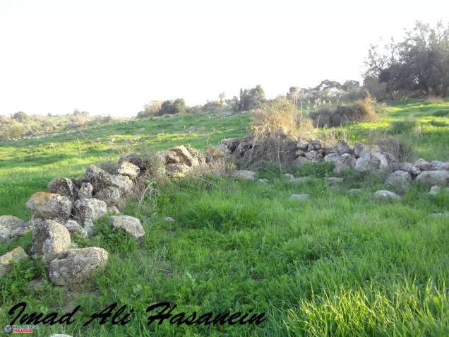
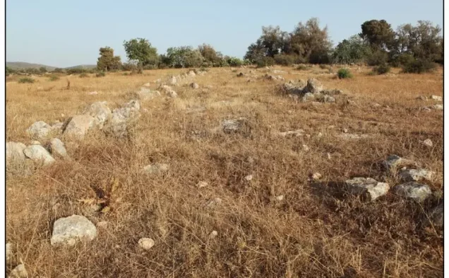
Remnants of stone terraces and a cave also survived.
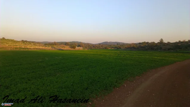
Adjacent land was being cultivated with onions, other vegetables, and fruit at the time of the field survey.
This description should not be treated as a comprehensive field verification of conditions in 2026. Fieldwork for All That Remains was conducted between 1987 and 1990 and therefore documents the site's condition during that survey period.
Sources
- PalQuest – Interactive Encyclopedia of the Palestine Question: Dayr al-Dubban
- PalQuest – Operation Yoav
- Palestine Remembered – Dayr al-Dubban, Hebron District
- Palestine Remembered – Walid Khalidi's account of Dayr al-Dubban
- Palestinian Villages Encyclopedia – Dayr al-Dubban; supporting Palestinian documentation
- Palestinian Encyclopedia – Dayr al-Dubban
- Government of Palestine – Census of Palestine 1931: Dayr al-Dubban, 543 inhabitants in 112 houses
- Institute for Palestine Studies – Walid Khalidi, All That Remains
- PalQuest – All That Remains: Methodology and Fieldwork
Photo gallery
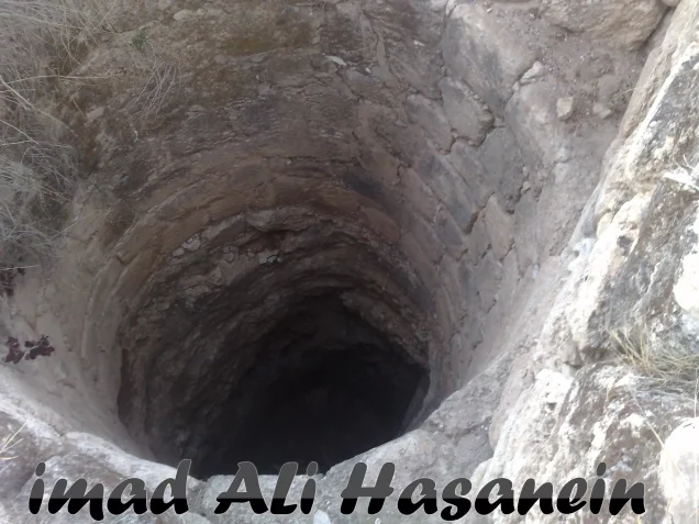
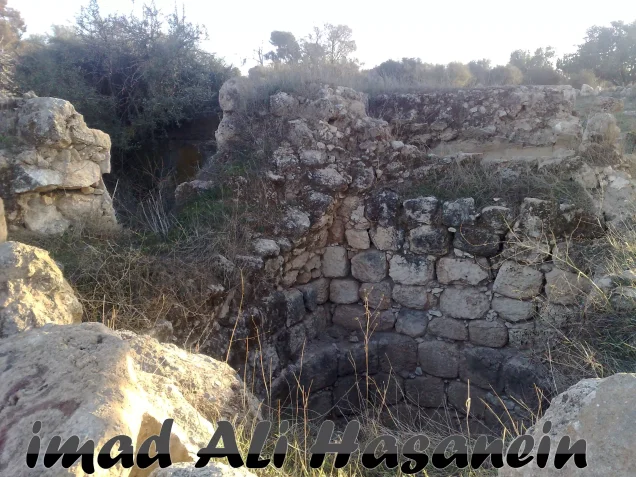
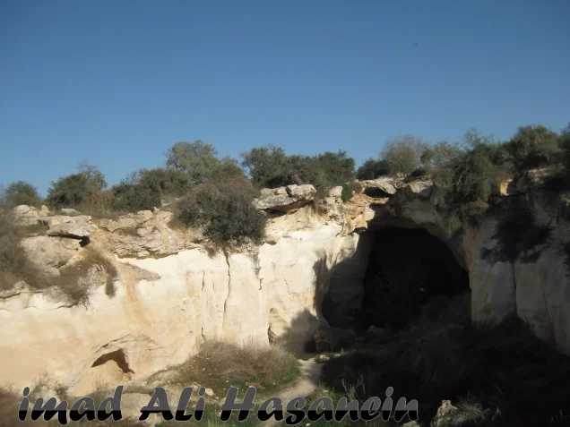

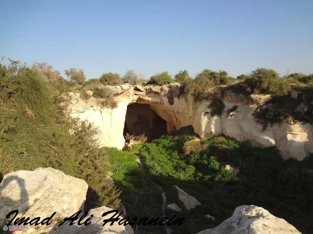

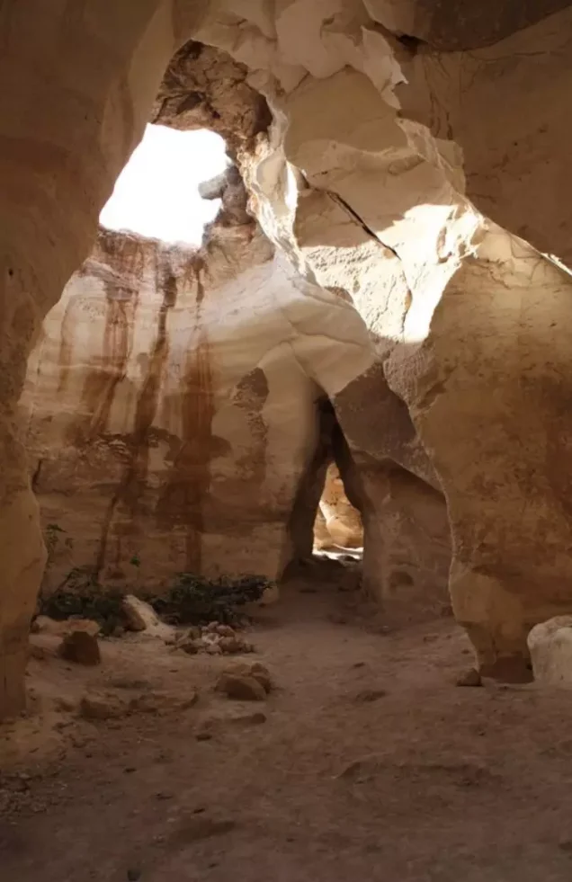
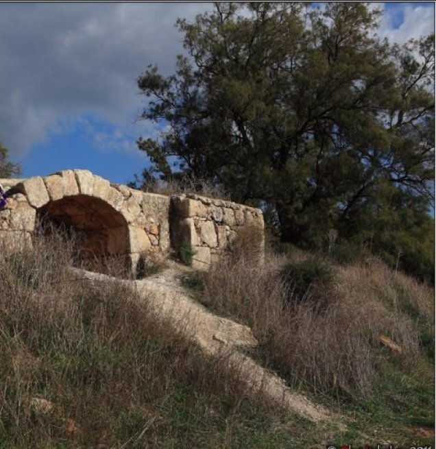
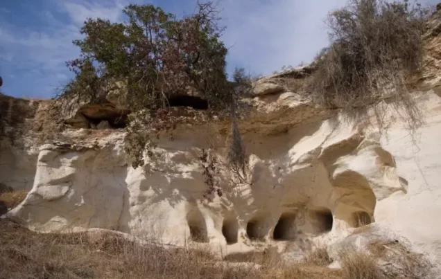
Photos from the village's people
Photos sent in by visitors and published after review.
Add a photo of this village
Log in to add photos of this village.
Other villages from Hebron
More from the archive
 Download Our Palestine App
The whole archive in the palm of your hand: depopulated villages, the Nakba, the massacres and Al-Aqsa — free, with no ads to erase the story.
Download Our Palestine App
The whole archive in the palm of your hand: depopulated villages, the Nakba, the massacres and Al-Aqsa — free, with no ads to erase the story.



Comments
No comments yet — be the first to write one.
Add your comment
Name and email are optional. Comments appear after review.