
The depopulated village of Mughr al-Khayt / District of Safed
District of Safed
Mughr al-Khayt
About the depopulated village of Mughr al-Khayt
- District
- Safed
- Date Mughr al-Khayt was occupied
- 02 May 1948
- Population in 1948
- 570
- Military operation
- Operation Yiftach
- Brigade that carried it out
- Palmach
- Distance from the governorate centre
- 4.5 (km) North East of Safad
- Elevation above sea level
- 500 m
- Cause of displacement
- Military assault by Zionist troops
- Extent of destruction
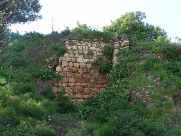
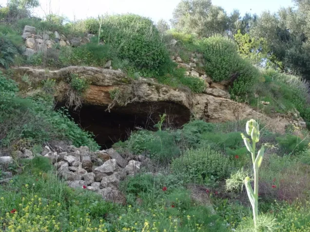
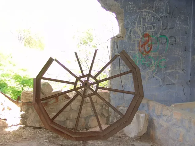
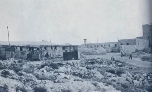
- Mughr al-Khayt was mostly destroyed with the exception of few cement rooms remain standing.
- Ethnic cleansing
- Mughr al-Khayt inhabitants were completely ethnically cleansed.
Hover a dot to read the village name, or click to open its card.
Borders of the depopulated village of Mughr al-Khayt
North-west
'Ammuqa
North
Qabba'a
North-east
Al-Wayziyya
West
'Ayn al-Zaytun
The depopulated village of Mughr al-Khayt / District of Safed
East
Khirbat al-Muntar
South-west
Fir'im
South
Al-Ja'una
South-east
Rosh Pina
District: Safed
Population 1948: 570
Occupation date: 02/05/1948
Occupying unit: Palmah 1st battalion
Jewish settlements on village/town land before 1948: None
Jewish settlements on village/town land after 1948: A part of Hatzor HaGlilit
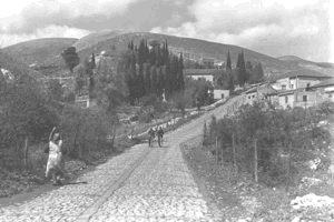
Photo gallery


Photos from the village's people
Photos sent in by visitors and published after review.
Add a photo of this village
Log in to add photos of this village.


More from the archive



 Download Our Palestine App
The whole archive in the palm of your hand: depopulated villages, the Nakba, the massacres and Al-Aqsa — free, with no ads to erase the story.
Download Our Palestine App
The whole archive in the palm of your hand: depopulated villages, the Nakba, the massacres and Al-Aqsa — free, with no ads to erase the story.



Comments
No comments yet — be the first to write one.
Add your comment
Name and email are optional. Comments appear after review.