
The depopulated village of Biriyya / District of Safed
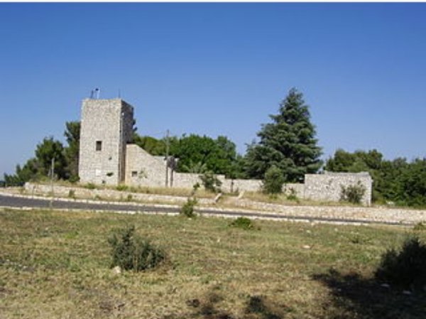
Biriyya
About the depopulated village of Biriyya
- District
- Safed
- Date Biriyya was occupied
- 01 May 1948
- Population in 1948
- 280
- Military operation
- Operation Yiftach
- Brigade that carried it out
- Palmach
- Distance from the governorate centre
- 1.5 (km) North East of Safad
- Elevation above sea level
- 900 m
- Cause of displacement
- Military assault by Zionist troops
- Extent of destruction
- The village has been mostly destroyed with the exception of 15 houses remain standing. Many of these houses now are used by Jewish settlers
- Ethnic cleansing
- Biriyya inhabitants were completely ethnically cleansed.
- Settlements built on the land of Biriyya before 1948
- Birya (Abandoned)
- Refugees' migration routes
- Amuka
Hover a dot to read the village name, or click to open its card.
Borders of the depopulated village of Biriyya
Biriyya – Depopulated Palestinian Village of the Safad Subdistrict
Biriyya was a Palestinian village in the Safad Subdistrict. It stood on the southern slope of a high hill overlooking the city of Safad to the south and facing Mount al-Jarmaq to the west. The village lay approximately 1.5 km from Safad at an average elevation of about 900 metres above sea level.
Biriyya had an official population of 240 in 1944/45, and its registered lands covered 5,579 dunums.
A Palmach unit captured Biriyya on 1 May 1948 during Operation Yiftach as part of the preparations for the assault on Safad. Its Palestinian inhabitants were depopulated during the occupation. A fortified Zionist settlement bearing the same name had already been established on part of the village lands in 1945.
Name of Biriyya
The village is recorded in Palestinian sources as Biriyya.
Walid Khalidi relays the possibility that the village stood on the site of an ancient Roman-period locality known as Berai or Biri. This identification should be understood as a proposed archaeological connection rather than a conclusively established fact.
Secondary Palestinian sources offer additional etymological interpretations connecting the name with ancient words for wells or a fortress, but the principal sources reviewed do not establish any one of these derivations conclusively.
Location
Biriyya stood on the southern slope of a high hill north of Safad, overlooking the city to the south and facing Mount al-Jarmaq to the west.
A deep wadi ran below the slope. Agricultural land separated Biriyya from Safad, and a main road crossing those fields connected Safad with nearby towns and villages.
PalQuest gives an average elevation of approximately 900 metres, while the Palestinian Encyclopedia gives about 955 metres. The difference is limited and may reflect different reference points within the hilly village area.
Biriyya Through History
In 1596, Biriyya was part of the nahiya of Jira in the Ottoman district of Safad, with an estimated population of approximately 319.
The villagers paid taxes on wheat, barley, and olives, as well as goats, beehives, vineyards, and a press used for processing either olives or grapes.
In the late nineteenth century, Biriyya was described as a stone-built village surrounded by cultivated land, with approximately 100–150 inhabitants, predominantly Muslims.
Village Layout
Biriyya was a small stone-built village on a high hillside. Its cultivated lands were concentrated primarily southeast of the built-up area.
The built-up area covered approximately 25 dunums in the 1944/45 statistics.
The village relied heavily on nearby Safad for basic services, while its inhabitants marketed their agricultural produce in the city.
Population of Biriyya
- 1596Approx. 319Estimate derived from Ottoman fiscal records rather than a modern census.
- Late 19th centuryApprox. 100–150Estimate recorded by the Survey of Western Palestine.
- 1922128Official Government of Palestine census; all inhabitants were recorded as Muslims.
- 1931170Official census; all inhabitants were Muslims and were recorded in 38 houses.
- 1944/45240Official Government of Palestine figure.
- 1948278Later Palestine Remembered estimate, not an official census.
- 19981,710 refugeesLater Palestine Remembered estimate of refugees originating from the village and their descendants.
Number of Houses
- 193138Official Government of Palestine census.
- 194862Later Palestine Remembered estimate, not an official Government of Palestine count.
Land Ownership in Biriyya
Biriyya's registered lands totalled 5,579 dunums in 1944/45.
Using the ownership terminology employed by Palestine Remembered, the distribution was:
- Palestinian408 dunums7%
- Transferred to Zionists5,170 dunums93%
- Communal/Public1 dunums<1%
This corresponds arithmetically to the official 1944/45 categories of 408 Arab dunums, 5,170 Jewish dunums, and 1 Public dunum.
Land Use in 1944/45
- Arab
- Jewish
- Public
- Cereals2,664 dunums
- Plantations and Irrigable Land164 dunums
- Built-up Area25 dunums
- Non-Cultivable Land2,726 dunums
A total of 2,828 dunums, approximately 51 percent of the registered land, was cultivated or cultivable, while built-up and non-cultivable land amounted to 2,751 dunums.
Approximately 30 dunums of Arab land were planted with olive trees. This was a crop-specific subset of the plantation and irrigable category and should not be added again to the village total.
Economic Life in Biriyya
Most of Biriyya's Palestinian inhabitants depended on agriculture. Their cultivated lands were concentrated primarily southeast of the village.
In 1944/45, 328 Arab dunums were devoted to cereal cultivation and 53 dunums to plantations and irrigable agriculture. Approximately 30 dunums were planted with olive trees.
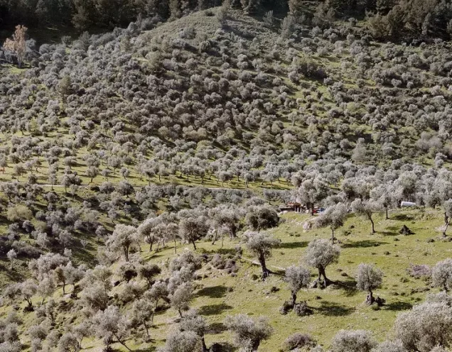
Wheat, barley, olives, fruit trees, and vineyards formed part of the village's longer agricultural history, with olive and grape production documented as early as the Ottoman period.
Residents marketed their produce in Safad and also relied on the city for basic services.
Water Resources
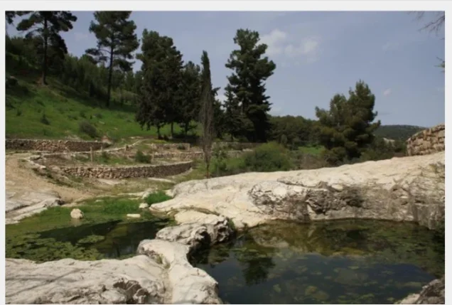
Several springs flowed in the vicinity of Biriyya and provided water for household use and for irrigating crops.
The principal sources reviewed do not provide a sufficiently secure list of all spring names, so none is invented or transferred from neighboring localities.
Education and Public Services
Walid Khalidi states that Biriyya depended on Safad for basic services. His village entry does not document a separate formal school or provide pupil figures for the village.
No school or other village institution is therefore added without independent documentation.
Archaeological Background
Walid Khalidi relays the possibility that Biriyya was built on the site of the Roman-period locality Berai or Biri.
The identification derives from an archaeological reference cited through Khalidi and should therefore be presented as a possible identification rather than as an uncontested archaeological conclusion.
The 7 April 1948 Skirmish
A New York Times report cited by Khalidi recorded a skirmish in the vicinity of Biriyya on 7 April 1948.
The Haganah announced to foreign correspondents that twenty Arabs had been killed in an engagement near Mount Canaan outside Safad.
The report did not establish that the fighting took place inside Biriyya or that the dead were residents of the village. Khalidi therefore states only that Biriyya may have been involved because of its position on the mountain slope.
Occupation and Depopulation of Biriyya
On 1 May 1948, a Palmach unit captured Biriyya while another force took the neighboring Palestinian village of 'Ayn al-Zaytun.
The capture of the two villages formed part of the preparations for the attack on Safad. It enabled Palmach forces to establish lines of communication with the Zionist garrison inside the city and facilitated its subsequent capture.
The source discussed by Khalidi does not provide an independent detailed account of how all of Biriyya's residents left at the moment of occupation. Khalidi considers it probable, by comparison with events at 'Ayn al-Zaytun, that the inhabitants were forced to leave and that some may have been killed in the process.
The securely established fact of Palmach occupation should therefore be distinguished from Khalidi's inference concerning the precise circumstances of the villagers' removal.
Operation Yiftach
Biriyya was captured in the context of Operation Yiftach, carried out by Palmach forces from 15 April to 25 May 1948 within the framework of Plan Dalet to seize eastern Galilee before the end of the British Mandate.
PalQuest explicitly lists Biriyya among the Palestinian villages affected by Operation Yiftach.
The capture of Biriyya and 'Ayn al-Zaytun on 1 May was a direct preparatory step toward the assault on Safad, whose final attack took place on 10–11 May.
The fall of Biriyya was also reported to have undermined morale among Safad's Palestinian population, with departures from the city beginning after the village fell.
Was Biriyya Occupied During Operation Matate / Broom?
An abbreviated Palestine Remembered field associates Biriyya with both Operation Matate, or “Broom,” and Operation Yiftach.
The detailed historical chronology does not support treating Matate as the operation that captured Biriyya. Biriyya was taken near Safad on 1 May in preparation for the city's assault, whereas Operation Matate was launched on 4 May in a different area north of Lake Tiberias and west of the Jordan River.
The securely documented military operation associated with Biriyya's occupation is therefore Operation Yiftach.
Military Unit
Khalidi's village-specific account states that a Palmach unit captured Biriyya on 1 May 1948.
Palestine Remembered identifies the Palmach First Battalion as the attacking unit, and PalQuest confirms that the First Battalion spearheaded Operation Yiftach as a whole.
The village-specific Khalidi entry, however, does not independently identify the battalion number of the force that entered Biriyya.
The most precise formulation is therefore: military operation: Operation Yiftach; attacking force: Palmach; the First Battalion is consistent with the broader operational context but is not independently established in the principal Biriyya entry.
Occupation Chronology
- 7 April 1948
Skirmish near Mount Canaan
The Haganah reported twenty Arab deaths in fighting near Mount Canaan. Biriyya may have been affected, but its direct involvement is not independently established.
- 15 April 1948
Beginning of Operation Yiftach
Palmach forces launched the operation to seize eastern Galilee.
- 1 May 1948
Occupation of Biriyya
A Palmach unit captured Biriyya while another force captured neighboring 'Ayn al-Zaytun.
- In the context of the 1 May occupation
Depopulation
Khalidi considers it probable that the inhabitants were forced to leave, based on the pattern documented at neighboring 'Ayn al-Zaytun.
- Early May 1948
Impact on Safad
The capture of Biriyya and 'Ayn al-Zaytun opened communications with the Zionist garrison in Safad and reportedly undermined Palestinian morale in the city.
- 10–11 May 1948
Final assault on Safad
Zionist forces captured Safad during Operation Yiftach.
The Pre-1948 Zionist Settlement on Biriyya Village Land
Biriyya is distinctive because a fortified Zionist settlement bearing the same name was established on village land in 1945, before the Nakba.
On 5 March 1946, British Mandatory authorities searched the settlement following reports of shooting toward a nearby military camp. Weapons were discovered and the settlers were arrested.
About ten days later, approximately 3,000 additional settlers marched up the mountain and attempted to establish another settlement, but British troops dispersed them.
Following further confrontations, the detainees were released and the British eventually evacuated the site on 7 June 1946.
Israeli Settlements on Biriyya Village Lands
After the occupation of Palestine in 1948, the earlier settlement site was reused and was taken over by a religious kibbutz in September 1948.
The settlement of Biriyya subsequently expanded until it incorporated the site of the former Palestinian village itself.
Khalidi's village-specific account does not identify 'Ammuqa as a settlement established on Biriyya land. It is therefore not listed here as such without additional village-specific documentation.
Biriyya Today
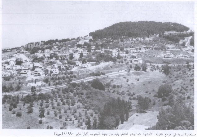
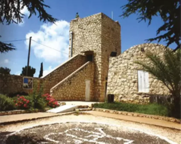
In the field documentation published by Walid Khalidi in All That Remains, approximately fifteen Palestinian village houses remained standing and were inhabited by residents of the expanded settlement of Biriyya.
Four additional houses were semi-deserted or used as storage buildings.
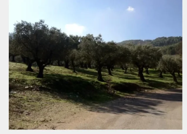
Stones taken from demolished Palestinian houses could be seen incorporated into some settlement walls, while old almond, fig, olive, and eucalyptus trees remained scattered across the site among trees planted later.
Palestine Remembered labels photographs associated with Khalidi's documentation as dating from 1990. This description therefore represents historical field documentation from around 1990, prior to the publication of All That Remains in 1992, and does not constitute direct and comprehensive verification of the site's condition in 2026.
Sources
- PalQuest – Biriyya
- PalQuest – Operation Yiftach
- Palestine Remembered – Biriyya, Safad
- Palestine Remembered – Biriyya entry from Walid Khalidi's All That Remains
- Palestinian Encyclopedia – Biriyya
- Institute for Palestine Studies – Walid Khalidi, All That Remains
- Government of Palestine – Census of Palestine 1922
- Government of Palestine – Census of Palestine 1931
- Government of Palestine – Village Statistics 1944/45, digital reference
Photo gallery

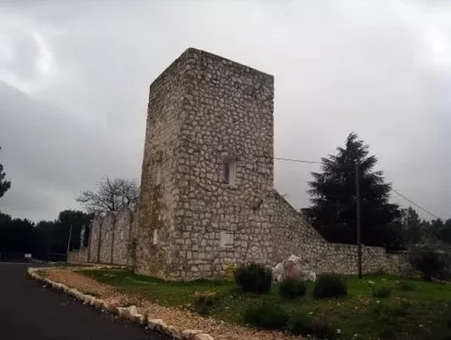
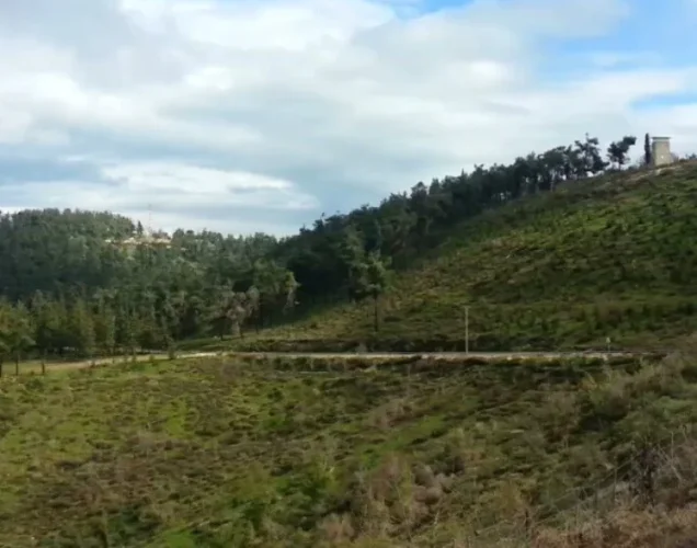

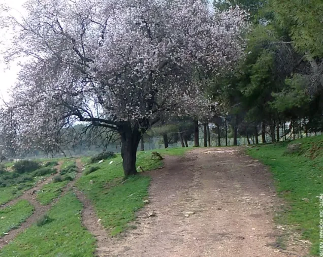
Photos from the village's people
Photos sent in by visitors and published after review.
Add a photo of this village
Log in to add photos of this village.
Other villages from Safed

More from the archive



 Download Our Palestine App
The whole archive in the palm of your hand: depopulated villages, the Nakba, the massacres and Al-Aqsa — free, with no ads to erase the story.
Download Our Palestine App
The whole archive in the palm of your hand: depopulated villages, the Nakba, the massacres and Al-Aqsa — free, with no ads to erase the story.



Comments
No comments yet — be the first to write one.
Add your comment
Name and email are optional. Comments appear after review.