
The depopulated village of Al-Dawwara / District of Safed

Al-Dawwara
About the depopulated village of Al-Dawwara
- District
- Safed
- Date Al-Dawwara was occupied
- 25 May 1948
- Population in 1948
- 812
- Military operation
- Operation Yiftach
- Brigade that carried it out
- Not identified in the sources; Palmach commander Yigal Allon conceived the 'whispering campaign' of Operation Yiftach (Yiftach Brigade), spearheaded by the Palmach's First Battalion
- Distance from the governorate centre
- 27 km northeast of Safad
- Elevation above sea level
- 75 m
- Cause of displacement
- Psychological warfare: the 'whispering campaign' conceived by Palmach commander Yigal Allon to make the inhabitants flee, according to an Israeli military intelligence report; Khalidi considers that a military attack on the village may also have played a role
- Extent of destruction
- The village has been completely destroyed, and only house walls and rubble left behind.
- Ethnic cleansing
- al-Dawwara was ethnically cleansed as a result of psychological warfare conducted on the 25th of May 1948
- Settlements built on the land of Al-Dawwara before 1948
- Kibbutz 'Amir, established in 1939, 0.5 km west of the village site; and Sde Nechemya, established in 1940, northwest of the site; both are on village land
Hover a dot to read the village name, or click to open its card.
Borders of the depopulated village of Al-Dawwara
al-Dawwara: A Depopulated Palestinian Village in the Safad District
al-Dawwara was a Palestinian village in the Safad District, situated in the northern Hula Plain approximately 27 km northeast of Safad, at an average elevation of about 75 metres above sea level. It lay near the confluence of the Hasbani, Banyas, and Dan rivers and faced Mount Hermon to the northeast. Its Palestinian inhabitants were displaced during the Nakba and the occupation of Palestine in 1948. The village was depopulated on 25 May, during the final stage of Operation Yiftach, after a psychological-warfare “whispering campaign,” although Walid Khalidi notes that a military attack may also have contributed to the villagers' departure.
- Subdistrict
- Safad
- Distance from district center
- 27 km northeast of Safad
- Average Elevation
- 75 m above sea level
- Population in 1931
- 552 – all Muslim except for one Christian
- Number of Houses in 1931
- 106
- Population in 1944/1945
- 700 – Arab population; the same statistical unit, which includes Sde Nechemya and 'Amir, also recorded 400 Jews (total 1,100)
- Estimated Population in 1948
- About 812 – a later demographic estimate, not an official census
- Total Land Area in 1945
- 5,470 dunams – of which 2,547 dunams Arab-owned, 2,753 dunams Jewish-owned and 170 dunams public land
- Attack and Depopulation
- An Israeli military intelligence report lists al-Dawwara among the villages whose inhabitants fled on 25 May 1948, to al-Dirbashiyya, as a result of the 'whispering campaign' conceived by Palmach commander Yigal Allon and implemented during Operation Yiftach. Khalidi considers that the discrepancy between this date and the launch of the campaign on 10 May indicates that a military attack on the village may have played a role in the evacuation.
- Final Israeli Control
- The available sources do not give the date on which Israeli occupation forces entered the village; its inhabitants fled on 25 May 1948, the last day of Operation Yiftach, according to an Israeli military intelligence report as cited by Khalidi
- Military Operation
- Operation Yiftach
- Military Unit
- The available sources do not identify the unit that attacked or occupied the village; Palmach commander Yigal Allon conceived the 'whispering campaign' implemented during Operation Yiftach, PalQuest lists the Yiftach Brigade as the operation's unit, and the Palmach's First Battalion spearheaded it
- Cause of Depopulation
- Psychological warfare: the 'whispering campaign' conceived by Palmach commander Yigal Allon to make the inhabitants flee, according to an Israeli military intelligence report; Khalidi considers that a military attack on the village may also have played a role
- Settlements Documented on Village Lands
- Kibbutz 'Amir, established in 1939, 0.5 km west of the village site; and Sde Nechemya, established in 1940, northwest of the site; both are on village land
Location of al-Dawwara
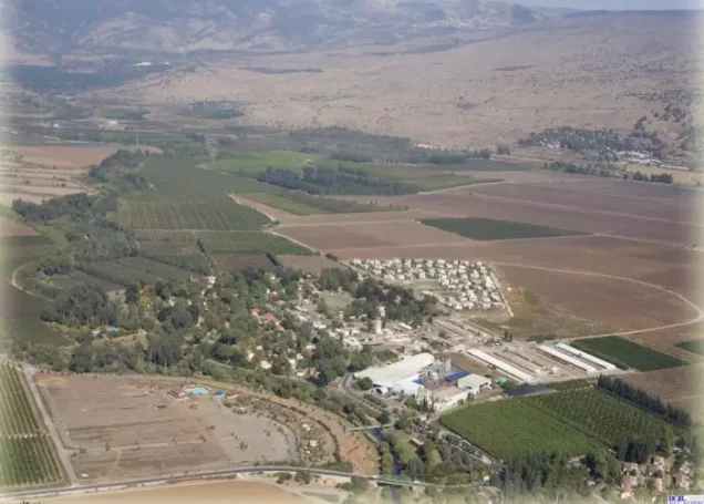
al-Dawwara stood on flat terrain in the northern Hula Plain and overlooked a broad expanse to the north.
The village was approximately 27 km northeast of Safad and had an average elevation of about 75 metres above sea level.
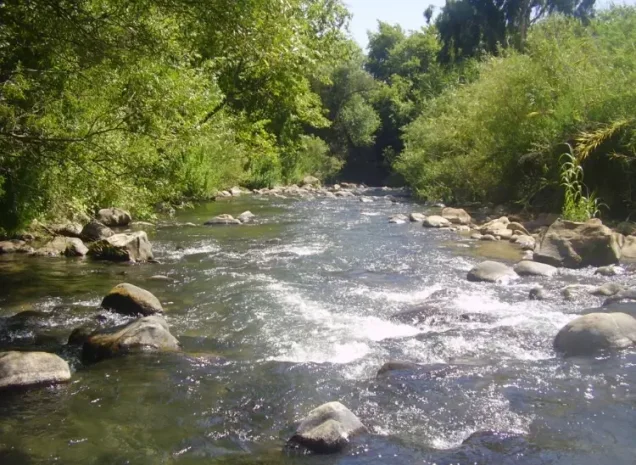
It faced Mount Hermon to the northeast and lay near the confluence of three important rivers—the Hasbani, Banyas, and Dan—which fed the Jordan River and the Hula basin.
A secondary road linked al-Dawwara with a main road leading to Safad.
Palestine Remembered identifies nearby lands belonging to al-Muftakhira, al-'Abisiyya, al-Zawiya, al-Na'ima, and the Hula area.
The Name al-Dawwara
Palestine Remembered provides two possible explanations for the village name.
One interpretation derives al-Dawwara from the Syriac word “Dayara,” meaning a dwelling or place of residence.
Another treats the name as Arabic, connected with the root meaning to turn or revolve, while the Arabic word al-duwwara can also carry additional traditional meanings.
Walid Khalidi's principal village entry does not establish a definitive etymology. These explanations are therefore presented as possible interpretations recorded by Palestine Remembered rather than as conclusively proven linguistic origins.
Architecture of al-Dawwara
The older houses of al-Dawwara were closely clustered and separated by narrow lanes.
Toward the end of the British Mandate, the village expanded and newer houses were built farther apart from the older residential core.
Most houses were built of mud, although some were constructed of black basalt stone.
In the 1944/45 statistics, 52 Palestinian dunums were classified as built-up. A further 55 built-up dunums belonged to the Jewish settlements included within the same statistical unit.
Population and Religion
In 1931, al-Dawwara had 552 inhabitants. All were Muslim except for one Christian.
In 1944/45, the Palestinian Arab population of al-Dawwara itself was 700.
The official statistical table gives a total of 1,100 for the wider statistical unit because it also includes 400 Jewish inhabitants of 'Amir and Sde Nechemya.
The population of the Palestinian village itself should therefore be given as 700 rather than 1,100.
Education and Public Services
Khalidi's principal PalQuest entry does not provide sufficiently documented information concerning an independent school, mosque, clinic, or other specific public institution in al-Dawwara before the Nakba.
No unsupported details are therefore added.
Economic Life in al-Dawwara
Agriculture was the principal documented source of livelihood.
The villagers grew cereals, vegetables, and citrus. Some crops were rainfed, while large areas were irrigated by the springs and rivers of the Hula Plain.
In 1944/45, 68 Palestinian dunums were devoted to citrus and bananas, 281 dunums to cereals, and 2,135 dunums were irrigated or used for plantations.
Land in the category “Transferred to Zionists” included a further 2,095 dunums of plantations and irrigable land and 603 dunums devoted to cereals.
Some local material also mentions trade, fishing, and livestock raising, but Khalidi's principal village entry does not provide sufficiently specific information to establish these as major documented economic sectors. This article therefore emphasizes the agricultural economy that is clearly supported by the principal source.
Land Ownership in al-Dawwara
The total registered land area of al-Dawwara was 5,470 dunums in the 1944/45 statistics.
Land ownership in al-Dawwara, 1944/45, using the terminology of Palestine Remembered
- Palestinian2,547 dunums47%
- Transferred to Zionists2,753 dunums50%
- Communal170 dunums3%
Palestinian land represented approximately 46.6 percent of the total. Land in the category “Transferred to Zionists” represented approximately 50.3 percent, and communal/public land approximately 3.1 percent.
Land Use in al-Dawwara, 1944/45
Land use in al-Dawwara, separating ownership categories according to PalQuest's detailed statistics
- Palestinian
- Transferred to Zionists
- Communal/Public
- Citrus and bananas68 dunums
- Plantations and irrigable land4,230 dunums
- Cereals884 dunums
- Built-up area107 dunums
- Non-cultivable land181 dunums
A total of 5,182 dunums, approximately 95 percent of the registered land, was cultivated or cultivable: 2,484 Palestinian dunums and 2,698 dunums in the category “Transferred to Zionists.”
Built-up and non-cultivable land together amounted to 288 dunums, approximately 5 percent of the total.
Palestine Remembered presents all 181 dunums of non-arable land in its Palestinian column. PalQuest's detailed table shows that only 11 dunums were Arab land while 170 dunums were public land. The communal/public category is therefore separated above.
Population of al-Dawwara
Population of al-Dawwara in selected years
- 1931552Official British Mandate census; all Muslim except one Christian
- 1944/45700Official Arab population of al-Dawwara itself
- 1944/45 – full statistical unit1,100700 Arabs in al-Dawwara plus 400 Jews in 'Amir and Sde Nechemya
- 1948812Later estimate published by Palestine Remembered; not an official Mandate census figure
- Estimated refugees in 19984,987Later estimate published by Palestine Remembered
Number of Houses in al-Dawwara
Number of houses in al-Dawwara
- 1931106Official British Mandate census figure
- 1948155Later estimate published by Palestine Remembered
Archaeological Site
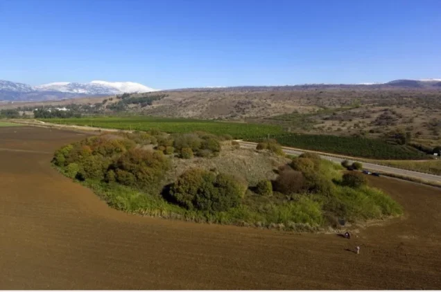
Palestine Remembered identifies Tall al-Akhdar as an archaeological site located east of al-Dawwara.
Khalidi's principal entry does not provide a detailed archaeological description or chronology for the site, so no additional unverified claims are added.
Operation Yiftach and al-Dawwara
al-Dawwara was depopulated during the final stage of Operation Yiftach, conducted by Palmach forces from 15 April to 25 May 1948 to seize eastern Galilee.
The Palmach's First Battalion spearheaded the broader operation.
Operation Yiftach combined direct military assaults with psychological warfare, including a “whispering campaign” devised by Palmach commander Yigal Allon to induce Palestinian villagers to leave the area.
Khalidi dates the launching of this campaign to 10 May 1948.
Ten May should therefore not be treated as the occupation date of al-Dawwara; it marks the beginning of the psychological-warfare campaign associated with the village's later depopulation.
Depopulation of al-Dawwara on 25 May 1948
An Israeli military intelligence report preserved and published by PalQuest records al-Dawwara's depopulation on 25 May 1948, the final day of Operation Yiftach.
The report gives the cause as the “whispering operation” and records Dirbashiyya as the villagers' immediate destination.
Khalidi reproduces the same chronology but notes that the whispering campaign had begun on 10 May, approximately two weeks before al-Dawwara was emptied.
He therefore considers it possible that some form of direct military attack also contributed to the departure of the population.
Palestine Remembered associates al-Dawwara with Operation Yiftach, identifies the Palmach's First Battalion as the attacking unit, and classifies the cause of depopulation as psychological warfare.
Because Khalidi's dedicated village entry does not itself identify a specific battalion as carrying out a documented assault on al-Dawwara, the First Battalion attribution is presented as Palestine Remembered's village-level identification within the broader Operation Yiftach framework rather than as an uncontested military detail.
- Military operation: Operation Yiftach.
- Operation dates: 15 April–25 May 1948.
- Launch of the whispering campaign: 10 May 1948.
- Date of al-Dawwara's depopulation: 25 May 1948.
- Documented cause in the intelligence report: whispering campaign / psychological warfare.
- Additional possibility noted by Khalidi: a military attack may also have contributed.
- Unit listed by Palestine Remembered: Palmach First Battalion.
- Village-specific unit in Khalidi's entry: not explicitly identified.
- Immediate destination recorded by the intelligence report: Dirbashiyya.
Occupation and Depopulation Chronology
- 15 April 1948
Beginning of the military operation
Operation Yiftach, masterminded by Palmach commander Yigal Allon to gain control of eastern Galilee, began and lasted until 25 May 1948. PalQuest lists al-Dawwara among the villages affected by the operation.
- 10 May 1948
Launch of the 'whispering campaign'
The 'whispering campaign' devised by Yigal Allon was launched: he asked Jewish mukhtars to whisper in the ears of several Arabs that giant Jewish reinforcements had reached the Galilee and were about to clean out the villages of the Hula, and to advise them to flee. It was implemented between 10 and 15 May 1948, according to PalQuest's page on Operation Yiftach.
- 25 May 1948
Depopulation of the village
According to an Israeli military intelligence report (30 June 1948) published by PalQuest and cited by Khalidi, the inhabitants of al-Dawwara fully fled on 25 May, the last day of Operation Yiftach, as a result of the 'whispering campaign', going to al-Dirbashiyya. Khalidi considers that the discrepancy between this date and the launch of the campaign indicates that a military attack on the village may have played a role in its evacuation; the available sources do not give the date on which Israeli occupation forces entered it.
Settlements Established on al-Dawwara's Lands
Two Jewish settlements had already been established on al-Dawwara's lands before the Nakba:
- 'Amir: established in 1939 on village land, approximately 0.5 km west of the site.
- Sde Nechemya: established in 1940 on village land northwest of the site.
The list of settlements established on village land before 1948 should therefore include both 'Amir and Sde Nechemya rather than 'Amir alone.
Khalidi does not identify a new Israeli civilian settlement established after 1948 directly on the destroyed residential core of al-Dawwara.
al-Dawwara Today
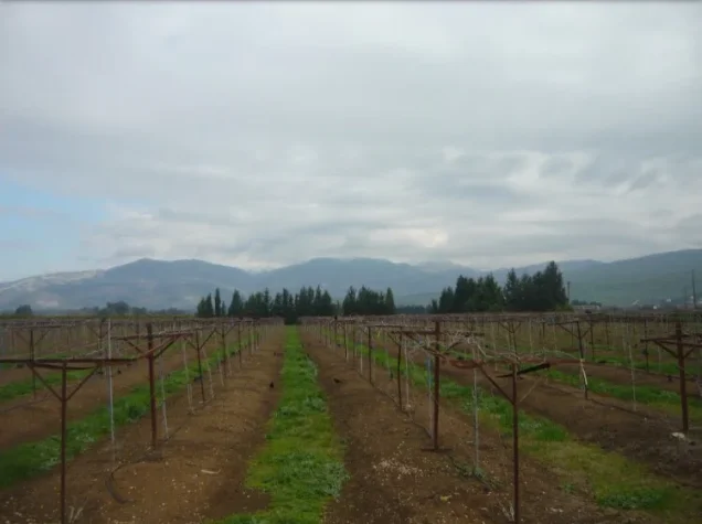
According to the field description published by Walid Khalidi in All That Remains, almost no visible trace of the Palestinian village remained apart from a few scattered building stones near a fish pond.
The entire village area had been converted into fish-breeding ponds.
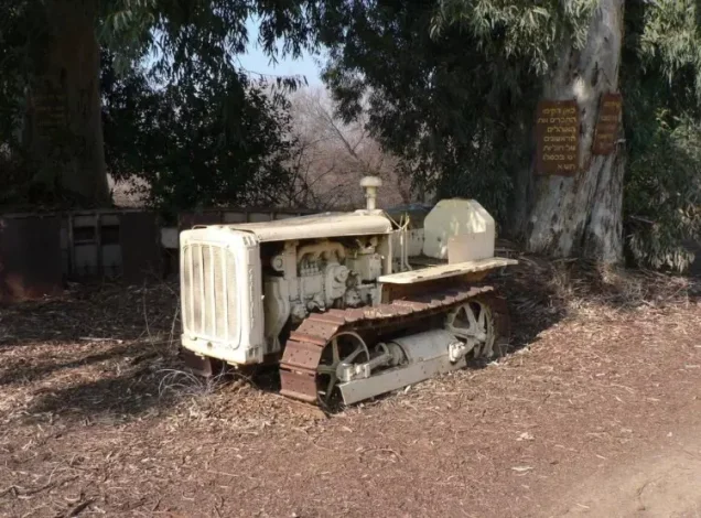
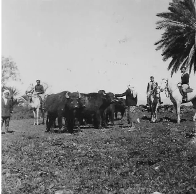
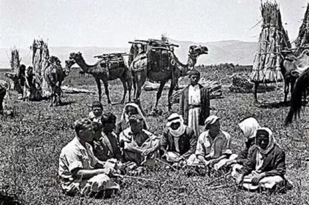
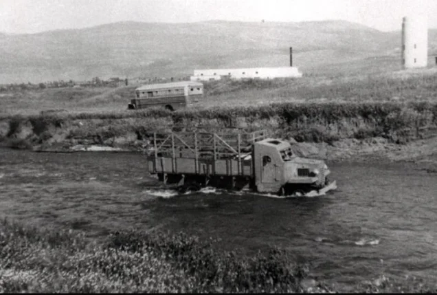
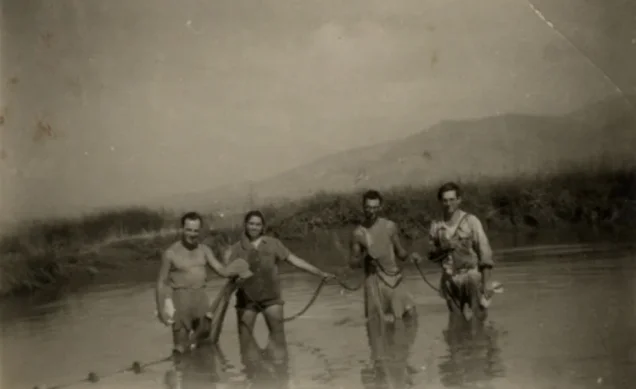
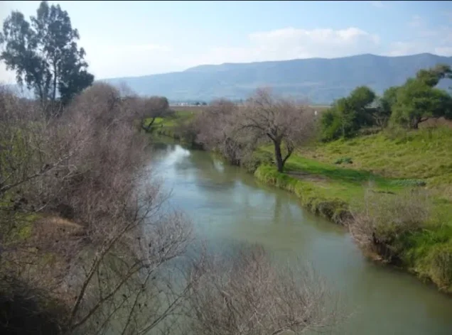
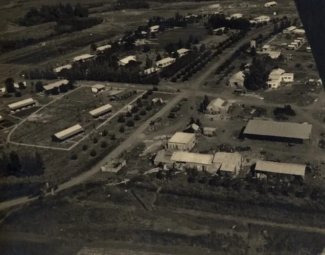
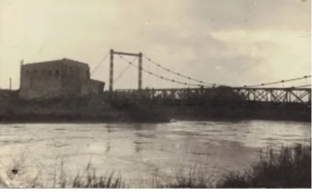
Palestine Remembered preserves later user-contributed photographs showing al-Dawwara's lands, the Jordan River, fish ponds, agricultural areas, and the surrounding landscape.
A detailed historical map was also uploaded to the site in September 2025, but this is cartographic documentation rather than a contemporary field survey.
These later materials are useful community and historical documentation but do not constitute a systematic independent survey of the entire former village site.
The principal field description above therefore relies on Khalidi's research published in 1992. The approved sources used here do not provide a sufficiently comprehensive independent 2026 field survey to establish the precise present condition of every part of al-Dawwara.
Sources
- PalQuestPalQuest – Interactive Encyclopedia of the Palestine Question: al-Dawwara
- PalQuestPalQuest – Operation Yiftach
- PalQuestPalQuest – Israeli Intelligence Report on the Depopulation of Palestine, 30 June 1948
- Palestine RememberedPalestine Remembered – al-Dawwara, Safad District
- Palestine RememberedPalestine Remembered – al-Dawwara entry from All That Remains
- Institute for Palestine StudiesInstitute for Palestine Studies – All That Remains, Walid Khalidi
Photo gallery

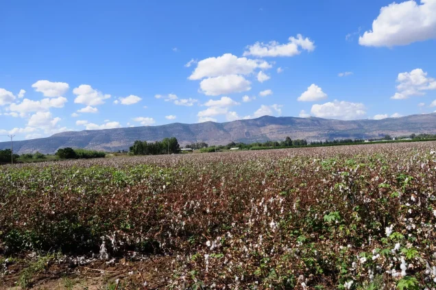
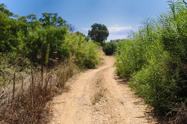
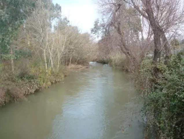
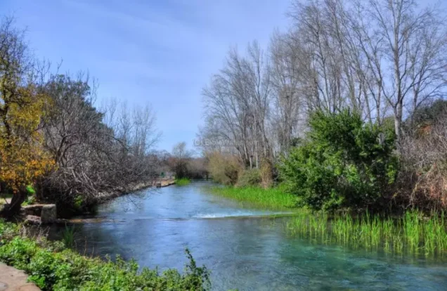
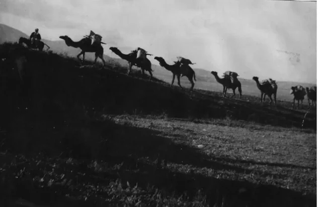

Photos from the village's people
Photos sent in by visitors and published after review.
Add a photo of this village
Log in to add photos of this village.
Other villages from Safed


More from the archive



 Download Our Palestine App
The whole archive in the palm of your hand: depopulated villages, the Nakba, the massacres and Al-Aqsa — free, with no ads to erase the story.
Download Our Palestine App
The whole archive in the palm of your hand: depopulated villages, the Nakba, the massacres and Al-Aqsa — free, with no ads to erase the story.



Comments
No comments yet — be the first to write one.
Add your comment
Name and email are optional. Comments appear after review.