
The depopulated village of Sufla / District of Al-Quds (Jerusalem)
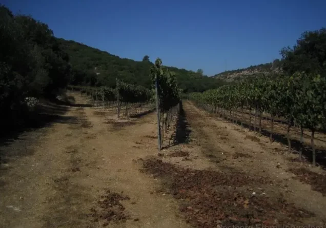
About the depopulated village of Sufla
- District
- Al-Quds (Jerusalem)
- Date Sufla was occupied
- 19 October 1948
- Population in 1948
- 70
- Military operation
- Operation Ha-Har
- Brigade that carried it out
- Harel Brigade
- Distance from the governorate centre
- 18.5 (km) West of Jerusalem
- Elevation above sea level
- 565 m
- Cause of displacement
- Military assault by Zionist troops
- Extent of destruction
- Sufla was mostly destroyed and defaced with the exception of its cemetery.
- Ethnic cleansing
- Sufla inhabitants were completely ethnically cleansed.
Hover a dot to read the village name, or click to open its card.
Borders of the depopulated village of Sufla
Sufla – Depopulated Palestinian Village of Jerusalem
Sufla was a Palestinian village in the Jerusalem Subdistrict, situated on an east-west ridge in the Jerusalem hills, approximately 18.5 kilometers from Jerusalem according to PalQuest and at an average elevation of about 565 meters above sea level.
A secondary road connected Sufla to a route linking Bayt Jibrin with the Jerusalem-Jaffa highway, while tracks led to Jarash, Bayt 'Itab, Dayr al-Hawa, Dayr al-Shaykh, 'Allar, and other nearby villages.
Basic Information
| Field | Information |
|---|---|
| Subdistrict | Jerusalem |
| Distance from Jerusalem | 18.5 km according to PalQuest |
| Elevation | Approx. 565 m |
| Population, 1922 | 46, all Muslims |
| Population, 1931 | 49 in 10 houses |
| Population, 1945 | 60 |
| 1948 estimate | Approx. 70 |
| Land area | 2,061 dunums |
| Occupation | Night of 18–19 October 1948 or the following night |
| Operation | Operation ha-Har |
| Unit | Sixth Battalion, Har'el Brigade |
| Post-1948 settlements | None documented on village lands |
Land Ownership, 1944/45
- Palestinian714 dunums35%
- Transferred to Zionists0 dunums0%
- Public1,347 dunums65%
Land Use
Four hundred dunums were devoted to cereals and three dunums were built up. A further 1,658 dunums were classified as non-cultivable, including all 1,347 Public dunums. Olive trees covered about twenty-four dunums as a subcategory of cultivated land.
Economy, Water, and Religious Site
The inhabitants practiced rain-fed farming, growing cereals, fruit trees, grapes, and olives, while some land was used for grazing.
Two springs supplied domestic water, one southeast and the other northeast of the village.
A shrine dedicated to a local holy man known as Shaykh Mu'annis stood on the western side of the village.
Occupation and Depopulation
Operation ha-Har formally ran from 19 to 24 October 1948, beginning with attacks on the night of 18–19 October.
Khalidi records that the Sixth Battalion of the Har'el Brigade captured Sufla on the night of 18–19 October or the following night.
The regional pattern was that most villagers fled south toward Bethlehem and the Hebron hills under military pressure, while expulsions were also documented in some villages. The village-specific evidence does not establish that every Sufla resident was directly expelled.
Occupation Chronology
| Date | Event |
|---|---|
| Night of 18–19 October 1948 | Operation ha-Har begins in the sector. |
| 19 October, approximately | Har'el's Sixth Battalion captures Sufla; Khalidi also allows for the following night. |
| 19–24 October 1948 | Operation ha-Har continues across southwest Jerusalem. |
Israeli Settlements Established on Sufla's Lands
Khalidi and PalQuest identify no Israeli settlement established on Sufla's village lands.
Sufla Today
Khalidi's pre-1992 field description records stone-house rubble scattered across a site used for grazing. Cave-like former dwellings remained visible and cactus grew among the ruins.
The cemetery lay east of the village site, while almond and olive groves covered areas to the west and north.
Sources
Photo gallery
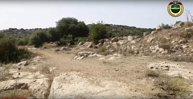
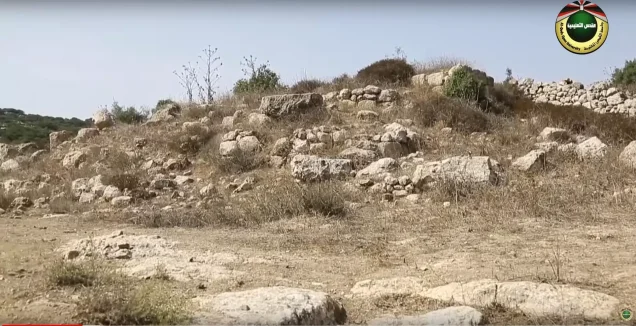
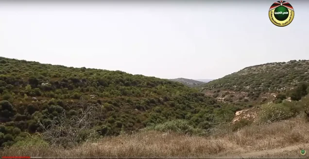
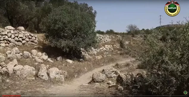
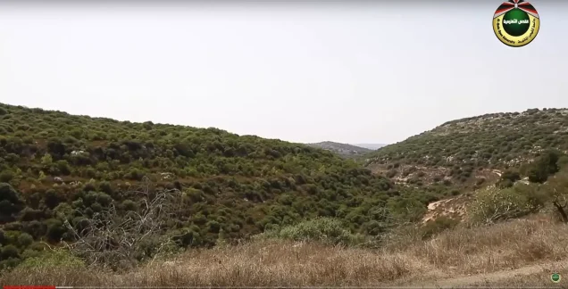
Photos from the village's people
Photos sent in by visitors and published after review.
Add a photo of this village
Log in to add photos of this village.
Other villages from Al-Quds (Jerusalem)

More from the archive
 Al-Quds (Jerusalem)
The depopulated village of Khirbat al-Tannur - Allar al-Sifla / District of Al-Quds (Jerusalem)
 Al-Quds (Jerusalem)
The depopulated village of al-Kunayyisa / District of Al-Quds (Jerusalem)
 Al-Quds (Jerusalem)
The depopulated village of Bayt 'Itab / District of Al-Quds (Jerusalem)
 Download Our Palestine App
The whole archive in the palm of your hand: depopulated villages, the Nakba, the massacres and Al-Aqsa — free, with no ads to erase the story.
Download Our Palestine App
The whole archive in the palm of your hand: depopulated villages, the Nakba, the massacres and Al-Aqsa — free, with no ads to erase the story.



Comments
No comments yet — be the first to write one.
Add your comment
Name and email are optional. Comments appear after review.