
The depopulated village of Khirbat Qumbaza / District of Haifa
Khirbat Qumbaza
About the depopulated village of Khirbat Qumbaza
- District
- Haifa
- Date Khirbat Qumbaza was occupied
- 15 May 1948
- Military operation
- Coastal Clearing
- Brigade that carried it out
- Golani Brigade
- Distance from the governorate centre
- 21.5 (km) South of Haifa
- Elevation above sea level
- 200 m
- Extent of destruction
- The village has been completely obliterated
- Ethnic cleansing
- Qumbaza, Khirbat inhabitants were completely ethnically cleansed.
Hover a dot to read the village name, or click to open its card.
Borders of the depopulated village of Khirbat Qumbaza
Khirbat Qumbaza – Depopulated Palestinian Village of the Haifa Subdistrict
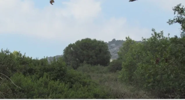
Khirbat Qumbaza was a depopulated Palestinian village in the Haifa Subdistrict, located approximately 21.5 kilometers south of Haifa. It stood among rolling hills on the southwestern Carmel slopes at an average elevation of about 200 meters above sea level.
The surrounding hills descended westward toward Palestine's coastal plain, approximately seven kilometers away. A secondary road connected the village with the Wadi al-Milh highway about three kilometers from the site; this route linked the coastal plain with the northern end of Marj ibn 'Amir.
- District
- Haifa
- Distance from Haifa
- Approximately 21.5 km south of Haifa
- Elevation
- Approximately 200 m above sea level
- Natural Setting
- Among rolling hills descending westward toward the coastal plain, near the Wadi al-Milh route
- Population in 1944/1945
- No reliable independently enumerated figure for Khirbat Qumbaza is provided by the principal sources used
- Occupation and Depopulation Period
- Probably May 1948; Palestine Remembered and WAFA give 15 May, while Khalidi presents the month as an estimate rather than a firmly established village-specific date
- Military Context
- Haganah operations against villages in Haifa's hinterland and the Carmel slopes while establishing an alternative inland supply route southward
- Military Unit
- Not conclusively identified at village level; Palestine Remembered lists the Golani Brigade, but Khalidi specifically documents Golani at neighboring Umm al-Zinat rather than independently at Qumbaza
- Total Land Area
- No independently documented land total for Khirbat Qumbaza is provided by the principal sources used
- Israeli Settlements on Village Lands
- No settlement is explicitly documented as having been established directly on the village lands; Kerem Maharal, founded in 1949, lies near the site, while part of Qumbaza's land became a military training area
The Name Khirbat Qumbaza
The village appears in Palestinian sources as Khirbat Qumbaza. The principal sources used for this article do not provide a sufficiently documented linguistic explanation for the origin of the name Qumbaza, so speculative etymologies found in secondary sources are not adopted.
Location and Transportation
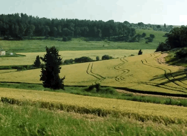
Khirbat Qumbaza stood among rolling hills in the Carmel region. The hills descended westward toward the coastal plain, which lay approximately seven kilometers from the village.
A secondary road connected Qumbaza with the Wadi al-Milh highway, approximately three kilometers away. Wadi al-Milh formed an important route between the Palestinian coastal plain and the northern edge of Marj ibn 'Amir.
In the late nineteenth century, the Survey of Western Palestine described Khirbat Qumbaza as a small hamlet standing on high ground.
Khirbat Qumbaza and Ijzim in the Census Records
Khirbat Qumbaza requires particular caution when interpreting population statistics because it was not independently enumerated in the 1931 census.
The census combined Qumbaza with Ijzim, Khirbat al-Manara, al-Mazar, Shaykh al-Burayk, and al-Washahiyya. Figures for this combined unit therefore cannot be presented as figures for Qumbaza alone.
Population of Khirbat Qumbaza
| Year | Figure | Nature of Figure and Notes |
|---|---|---|
| 1922 | No independently documented figure found in the principal sources used | No figure is inferred from a neighboring community without explicit documentation |
| 1931 | 2,160 | Combined census figure for Ijzim, Khirbat Qumbaza, Khirbat al-Manara, al-Mazar, Shaykh al-Burayk, and al-Washahiyya; not the population of Qumbaza alone |
| 1944/1945 | No reliable separate figure | PalQuest and Khalidi do not provide an independently enumerated 1944/45 population for Khirbat Qumbaza |
| 1948 | No reliable independent estimate | No retrospective population is derived from the statistics of Ijzim or neighboring villages |
Number of Houses
The 1931 census recorded 442 occupied houses, but this figure, like the population total, belongs to the combined unit containing Ijzim, Khirbat Qumbaza, Khirbat al-Manara, al-Mazar, Shaykh al-Burayk, and al-Washahiyya.
It should therefore not be presented as the number of houses in Khirbat Qumbaza itself. The principal sources used here provide no reliable separate housing figure for the village.
Land Area and Ownership
The Khirbat Qumbaza entries in PalQuest and Khalidi do not provide an independent 1944/45 table of village land area, ownership, or land use.
Separate statistical figures exist for Ijzim and some neighboring villages, but those figures should not be reassigned to Qumbaza. The available sources do not establish how much of any broader statistical land unit belonged specifically to Khirbat Qumbaza.
No numerical land-ownership or land-use table is therefore supplied for the village.
Economic Life
Historical sources describe Khirbat Qumbaza as a small hamlet or agricultural settlement on elevated ground, but they do not provide sufficiently detailed village-specific information about crops, livestock numbers, or cultivated acreage.
Because no independent 1944/45 land-use table is available, agricultural statistics belonging to Ijzim or surrounding villages are not attributed to Khirbat Qumbaza.
Education and Public Services
The principal sources reviewed do not provide sufficiently documented information about an independent school in Khirbat Qumbaza, its establishment date, enrollment, or other public institutions.
No school or service information is therefore transferred from Ijzim or neighboring villages without direct documentation.
The Maqam of Shaykh Quttayna and Khirbat Quttayna
The maqam of Shaykh Quttayna stood approximately one kilometer southeast of Khirbat Qumbaza.
Above it lay Khirbat Quttayna, where remains of earlier buildings had been identified. Some scholars proposed that Khirbat Quttayna represented the site of the Canaanite Kartah mentioned in ancient sources.
This identification remains a scholarly proposal and is not presented here as a conclusively established archaeological identification.
Occupation and Depopulation of Khirbat Qumbaza
No detailed military account establishes with certainty the exact date on which Khirbat Qumbaza was occupied or the particular unit that entered it.
Walid Khalidi considers it possible that the village was occupied in May 1948. His estimate is based on the military chronology of neighboring villages, particularly nearby Umm al-Zinat, which was captured on 15 May by units of the Golani Brigade.
Khalidi also cites a contemporary press account, based on Haganah sources, stating that Zionist forces had captured several villages on the slopes of Mount Carmel and near Afula during this period.
These developments followed the occupation of Haifa, when Haganah units were instructed to strike villages in the city's hinterland while establishing an alternative inland supply route for military convoys moving south after sections of the coastal road had become difficult to use.
Khirbat Qumbaza lay near this inland route, making it a probable target during that phase of operations.
Palestine Remembered and WAFA give 15 May 1948 as the village's depopulation or occupation date. Khalidi's detailed account, however, does not independently establish that exact day for Qumbaza itself. The date is therefore presented as a reported and plausible date rather than as completely certain.
Occupation Chronology
- Late April – May 1948
Expansion of Operations after the Occupation of Haifa
Haganah forces expanded operations against Palestinian villages in Haifa's hinterland and the Carmel slopes while seeking an alternative inland military supply route.
- May 1948
Probable Occupation Period of Qumbaza
This is the period suggested by Khalidi on the basis of developments in the surrounding area.
- 15 May 1948
Occupation of Neighboring Umm al-Zinat
Umm al-Zinat fell to units of the Golani Brigade, providing one of the circumstantial indicators used to estimate the timing of Qumbaza's capture.
- 15 May 1948
Published Date for Khirbat Qumbaza
This date is given by Palestine Remembered and WAFA, but is not independently established as an exact village-specific date in Khalidi's detailed account.
- After 1948
Military Use of Village Land
Part of the village land subsequently became incorporated into a military training area.
Military Context and Unit
Military Context: Haganah operations against Palestinian villages in Haifa's hinterland and on the Carmel slopes, together with the effort to create a secure inland supply route toward the south.
Palestine Remembered uses the label “Coastal Clearing” in its summary field. Khalidi's detailed account, however, does not establish a separately named village-specific operation of that title for Khirbat Qumbaza.
Military Unit: Not conclusively documented at village level. Palestine Remembered lists the Golani Brigade, but Khalidi's detailed narrative specifically identifies Golani units in the capture of neighboring Umm al-Zinat and uses that event as a clue to Qumbaza's probable occupation date.
The Golani Brigade is therefore not presented here as a confirmed village-specific attacking unit for Khirbat Qumbaza.
Cause of Depopulation
Khirbat Qumbaza lay within the zone of military operations against Palestinian villages around Haifa and Mount Carmel during May 1948.
The principal sources reviewed do not provide a separate detailed account of how the entire population left—whether during a direct assault, in anticipation of advancing forces, or through more than one stage.
The villagers' displacement is therefore placed within the military occupation of the area without adding a more specific mechanism unsupported by village-level documentation.
Destruction of Khirbat Qumbaza
Khalidi's entry does not provide a separate demolition date or a precise documented percentage for the destruction of Khirbat Qumbaza.
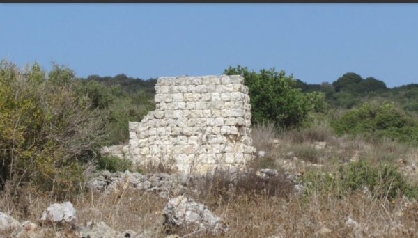
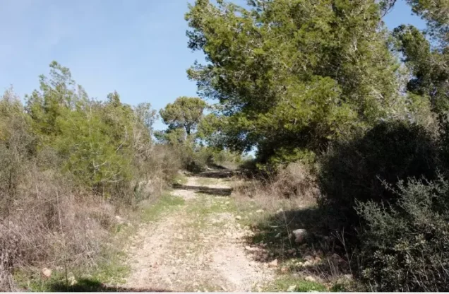
Palestine Remembered describes the village as completely obliterated, while PalQuest emphasizes that the site became part of an inaccessible military training area. Later community material hosted by Palestine Remembered includes photographs captioned as showing traces of former village houses.
For that reason, the extent of destruction is described cautiously rather than treating either a database summary or later community photographs as a complete contemporary field survey.
Israeli Settlements on Khirbat Qumbaza Village Lands
Khalidi records that part of Khirbat Qumbaza's land became part of a military training area.
Kerem Maharal, established in 1949, lies near the village site. The principal source does not state that it was established directly on Khirbat Qumbaza's land, so it is not classified here as a settlement conclusively built on village land.
Khirbat Qumbaza Today
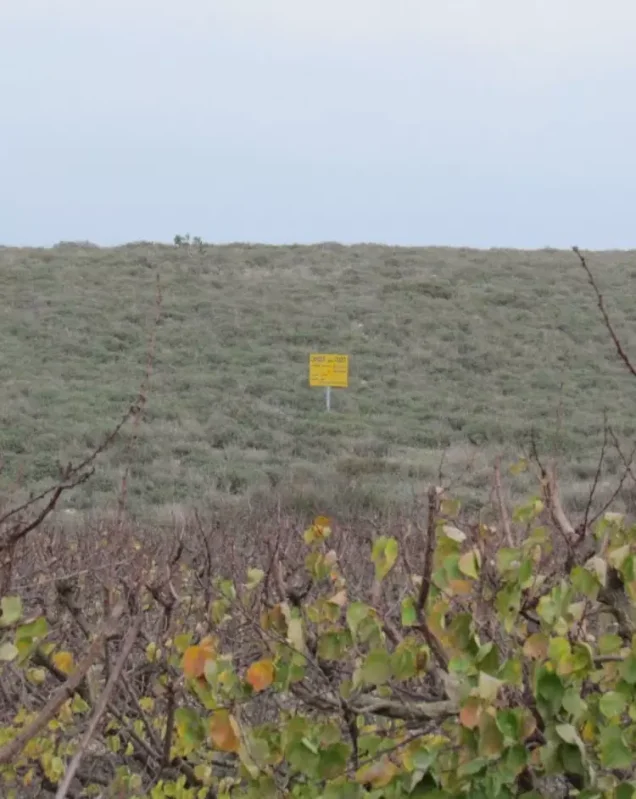
According to Walid Khalidi's historical description, the entire Khirbat Qumbaza area had been designated for military training and public access was prohibited. The military use of the land made direct documentation of village remains more difficult than at many other depopulated village sites.
This description reflects historical field documentation from the period preceding the publication of All That Remains in 1992 and should not be treated as direct verification of conditions in 2026.
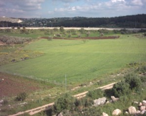
Palestine Remembered later published community photographs in 2015 captioned as showing remains of houses at Khirbat Qumbaza, as well as a 2021 video documenting a visit to the site and describing it as lying east of Ijzim, roughly between Ijzim and Umm al-Zinat. These materials provide useful later community documentation but do not by themselves establish the current legal access status or constitute a comprehensive field survey of the site in 2026.
Sources
- PalQuest – Interactive Encyclopedia of the Palestine Question: Khirbat Qumbaza
- Palestine Remembered – Khirbat Qumbaza, Haifa District
- Palestine Remembered – Historical account of Khirbat Qumbaza from Walid Khalidi's All That Remains
- Palestine Remembered – Later community documentation of the Khirbat Qumbaza site, published in 2021
- Government of Palestine – Census of Palestine, 1931
- WAFA – Palestinian towns and villages occupied and depopulated in 1948
- WAFA – Depopulated Villages of the Haifa District: Khirbat Qumbaza
- Institute for Palestine Studies – Walid Khalidi, All That Remains
Photo gallery
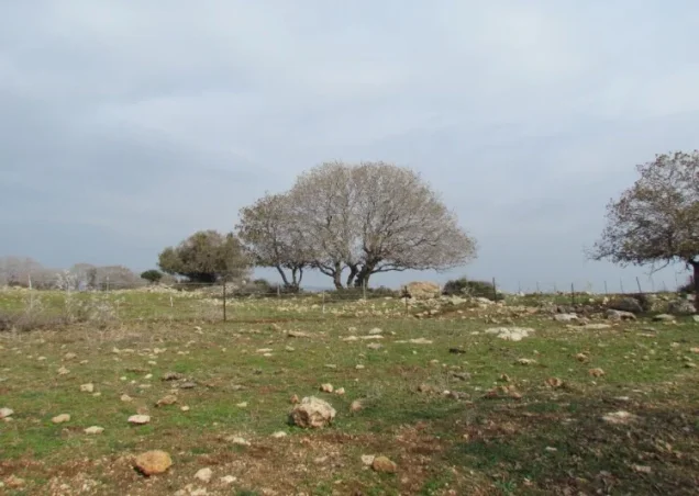
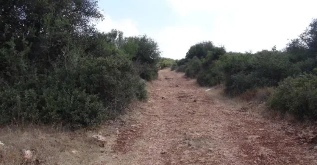
Photos from the village's people
Photos sent in by visitors and published after review.
Add a photo of this village
Log in to add photos of this village.
Other villages from Haifa
More from the archive



 Download Our Palestine App
The whole archive in the palm of your hand: depopulated villages, the Nakba, the massacres and Al-Aqsa — free, with no ads to erase the story.
Download Our Palestine App
The whole archive in the palm of your hand: depopulated villages, the Nakba, the massacres and Al-Aqsa — free, with no ads to erase the story.



Comments
No comments yet — be the first to write one.
Add your comment
Name and email are optional. Comments appear after review.