
The depopulated village of Barrat Qisarya / District of Haifa

Barrat Qisarya
About the depopulated village of Barrat Qisarya
- District
- Haifa
- Date Barrat Qisarya was occupied
- 15 May 1948
- Distance from the governorate centre
- 32 (km) South West of Haifa
- Elevation above sea level
- 25 m
- Extent of destruction
- The village has been completely destroyed, and only house rubble left behind.
- Ethnic cleansing
- Barrat Qisarya inhabitants were completely ethnically cleansed.
Hover a dot to read the village name, or click to open its card.
Barrat Qisarya – Depopulated Palestinian Village of the Haifa Subdistrict
Barrat Qisarya was a depopulated Palestinian village in the Haifa Subdistrict, located approximately 32 kilometers southwest of Haifa. It stood on flat sandy terrain in Palestine's coastal plain, at an average elevation of about 25 meters above sea level.
The village was situated approximately three kilometers east of the Mediterranean coast, close to the Roman-Byzantine site of Qisarya. Its name literally meant “outside Qisarya.” The close geographical and administrative relationship between the two communities also caused them to be combined in some British Mandate statistical records, making village-specific population and land figures difficult to separate.
- District
- Haifa
- Distance from Haifa
- Approximately 32 km southwest of Haifa
- Elevation
- Approximately 25 m above sea level
- Natural Setting
- Flat sandy terrain on the coastal plain, about 3 km east of the Mediterranean and near ancient Qisarya
- Population in 1944/1945
- No reliable separate figure for Barrat Qisarya; the official Qisariya statistical unit recorded 960 Arabs and 160 Jews, totaling 1,120 inhabitants
- Estimated Population in 1948
- No independently documented estimate can safely be assigned to Barrat Qisarya alone
- Occupation and Depopulation Period
- 15 May 1948 according to Palestine Remembered and WAFA; Khalidi's detailed Barrat Qisarya entry does not independently establish a definitive date
- Military Context
- Depopulation of Palestinian communities in the coastal sector during spring 1948; no separately documented village-specific operation is established
- Military Unit
- Unspecified Haganah forces according to Palestine Remembered; no brigade or battalion is independently documented at village level
- Total Land Area
- No separately documented Barrat Qisarya total; the official Qisariya statistical unit covered 31,786 dunums
- Settlement Established on Village Lands
- Or 'Aqiva, established in 1951; Qesarya, formally registered in 1977, is described by PalQuest as nearby
The Name and Location of Barrat Qisarya
The village name reflected its geographical relationship with historical Qisarya: Barrat Qisarya meant the locality situated “outside Qisarya.” It stood east of the ancient city on flat sandy ground approximately three kilometers from the Mediterranean coast.
Barrat Qisarya should nevertheless be distinguished from the Palestinian village of Qisarya itself. The distinction is especially important when interpreting Mandate population statistics, land records, and the chronology of the 1948 depopulation.
Barrat Qisarya in the Mandate Statistics
Barrat Qisarya was not consistently enumerated as an independent statistical unit. Many figures reproduced on modern village pages are therefore figures for Qisarya and its associated statistical unit rather than separately enumerated data for Barrat Qisarya.
Population
| Year | Figure | Nature of Figure and Notes |
|---|---|---|
| 1922 | No reliable separate figure for Barrat Qisarya | The 1922 census records Qisarya, but its figure should not automatically be reassigned to Barrat Qisarya |
| 1931 | 706 | Official combined census figure for Qisarya and Arab Barrat Qisarya; not a Barrat Qisarya-only population |
| 1944/1945 | 960 Arabs + 160 Jews = 1,120 | Official Qisariya statistical-unit figure; Barrat Qisarya's population cannot be reliably separated from it |
| 1948 | Not independently established | No Qisarya-wide retrospective estimate is used here as if it represented Barrat Qisarya alone |
The 1944/45 statistical unit contained 960 Arabs and 160 Jews. PalQuest's Qisarya entry further identifies the Arab population as 930 Muslims and 30 Christians.
Number of Houses in 1931
The official 1931 Census of Palestine recorded 143 occupied houses for the combined unit of Qisarya and Arab Barrat Qisarya. The figure cannot therefore be presented as the number of houses in Barrat Qisarya alone.
The principal sources reviewed here do not provide a reliable separate pre-Nakba housing figure for Barrat Qisarya.
Land Area and Statistical Limitations
PalQuest's Barrat Qisarya page displays a total land area of 31,786 dunums: 20,959 Arab, 874 Jewish, and 9,953 public dunums.
These figures are identical to the official 1945 Village Statistics entry for Qisariya (Caesarea) and are also reproduced on the PalQuest Qisarya page. They should therefore be treated as figures for the official Qisariya statistical unit rather than as independently established land totals for Barrat Qisarya alone.
- Arab20,959 dunums66%
- Jewish874 dunums3%
- Public9,953 dunums31%
The official Arab / Jewish / Public categories are preserved because the available statistics do not provide a reliable basis for reconstructing a separate Barrat Qisarya ownership table.
Land Use in 1944/1945
The official Qisariya statistical unit recorded the following land-use categories. They are included for statistical context but cannot be attributed exclusively to Barrat Qisarya:
- Arab
- Jewish
- Public
- Citrus and Bananas18 dunums
- Plantations and Irrigable Land108 dunums
- Cereals2,193 dunums
- Built-up Area111 dunums
- Non-Cultivable Land29,356 dunums
The categories balance correctly to 31,786 dunums. They should not, however, be used to claim that a specific amount of cereal, citrus, or orchard land belonged to Barrat Qisarya alone.
Economic Life in Barrat Qisarya
The principal village-specific sources do not provide sufficiently detailed quantitative information about the independent economy of Barrat Qisarya. Since the land-use data were recorded for the broader Qisariya statistical unit, the cereal, citrus, and orchard figures should not automatically be attributed to the inhabitants of Barrat Qisarya.
Education and Religious Life
Khalidi's village-specific entry does not provide sufficiently documented information about an independent school in Barrat Qisarya, its establishment date, or enrollment. Nor does it provide a separately documented village mosque description. Information concerning Qisarya's school or religious buildings is therefore not automatically transferred to Barrat Qisarya.
Archaeological Remains
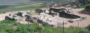
An archaeological survey of the Barrat Qisarya site identified traces of walls together with glass, marble, and pottery fragments scattered among the sand dunes.
These remains reflect the archaeological richness of the wider Qisarya area, but they do not justify treating all of ancient Caesarea's Roman, Byzantine, or Crusader monuments as structures belonging to the village of Barrat Qisarya itself.
Occupation and Depopulation of Barrat Qisarya
The occupation chronology of Barrat Qisarya must be distinguished from that of neighboring Qisarya.
Palestine Remembered gives 15 May 1948 as the occupation date, and WAFA likewise lists Barrat Qisarya among the Palestinian communities depopulated on that date.
Khalidi's detailed Barrat Qisarya entry, however, does not provide a separate occupation narrative, named military operation, or precise village-level chronology confirming the date independently.
For this reason, 15 May is presented as the date reported by those Palestinian sources rather than as an uncontested date established by a detailed village-specific military account.
The well-documented 15 February 1948 Palmach occupation and subsequent demolition relate to neighboring Qisarya, not automatically to Barrat Qisarya, and should not be transferred from one village to the other.
Occupation and Depopulation Chronology
- 15 February 1948
Occupation of Neighboring Qisarya
This event concerns coastal Qisarya and cannot by itself establish the date on which Barrat Qisarya was occupied.
- Spring 1948
Wider Coastal Displacement
Palestinian communities along the coastal sector south of Haifa were affected by successive military and depopulation campaigns.
- 15 May 1948
Reported Depopulation Date for Barrat Qisarya
This date is given by Palestine Remembered and WAFA, although Khalidi's available village entry does not independently document the precise day.
- After depopulation and over time; precise date undocumented
Destruction of Most of the Built Environment
Khalidi's later field description states that the final surviving group of houses was demolished shortly before the research team's visit.
Military Operation and Unit
Military Operation: The principal sources reviewed do not identify a separately documented military operation specific to Barrat Qisarya. It should therefore not automatically be assigned to a named “Coastal Clearing” operation as if that designation were independently established at village level.
Military Unit: Palestine Remembered describes the attacking force as unspecified Haganah forces. Khalidi's Barrat Qisarya entry does not identify a brigade or battalion, so the precise executing unit remains undocumented.
Cause of Depopulation
The available sources place the disappearance of Barrat Qisarya's Palestinian community within the broader military upheaval and displacement affecting the coastal region in 1948. The village-specific material does not provide enough detail to determine whether every family left in a single assault or through more than one stage.
Destruction of Barrat Qisarya
The principal sources do not establish a precise date for the destruction of the village. Khalidi's later field account records piles of stone and rubble from the final surviving group of houses in a square within Or 'Aqiva and notes that these houses had been demolished shortly before the research team's visit.
This indicates that the physical removal of the village continued over time rather than necessarily occurring in a single demolition event in 1948.
Israeli Settlements on Barrat Qisarya Village Lands
Or 'Aqiva was established in 1951 on Barrat Qisarya village land and subsequently expanded onto parts of the lands of depopulated Qisarya as well.
Qesarya, formally registered as a settlement in 1977, is described by PalQuest as nearby. It is therefore not treated here as a settlement established exclusively on Barrat Qisarya land without additional documentation.
Barrat Qisarya Today
According to Walid Khalidi's field documentation recorded before the publication of All That Remains in 1992, piles of rubble and stone from the last remaining village houses lay in a square within Or 'Aqiva.
The trunk of a eucalyptus tree once growing in the village remained at the site. Most village families were living in the West Bank, while a small number, including the family of the former mukhtar, had remained in the area and built new houses approximately half a kilometer north of the original village site.
The surrounding lands had become occupied by the expanding town, the newer houses of former villagers, and citrus groves.
This description reflects historical field documentation predating the publication of Khalidi's book in 1992 and should not be treated as a direct field verification of conditions at the site in 2026.
Sources
- PalQuest – Interactive Encyclopedia of the Palestine Question: Barrat Qisarya
- PalQuest – Qisarya: statistical context and distinction between the two communities
- Palestine Remembered – Barrat Qisarya, Haifa District
- Palestine Remembered – Historical account of Barrat Qisarya from Walid Khalidi's All That Remains
- Government of Palestine – Census of Palestine, 1931, including the combined Qisarya / Arab Barrat Qisarya unit
- Village Statistics 1945 – Haifa Subdistrict, reproduced by Sami Hadawi
- WAFA – Palestinian towns and villages depopulated in 1948
- Institute for Palestine Studies – Walid Khalidi, All That Remains
Photo gallery
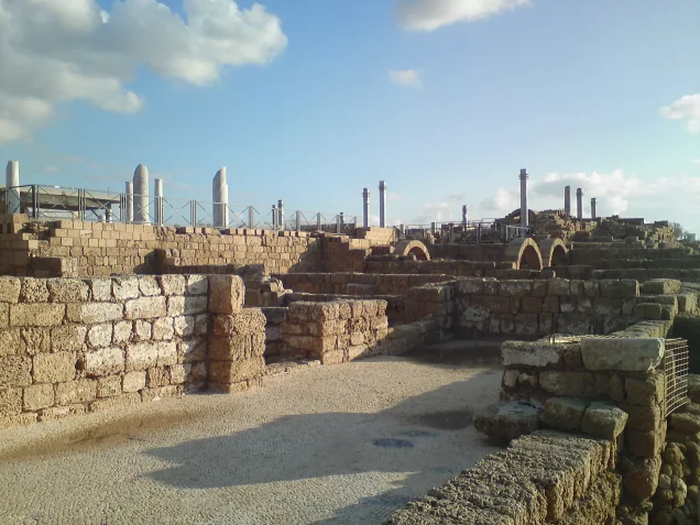
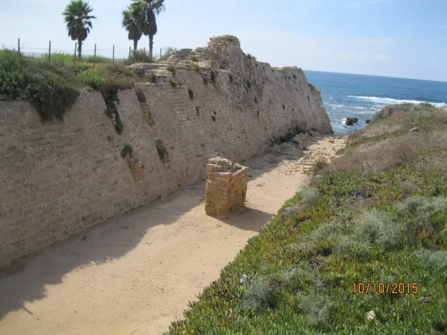

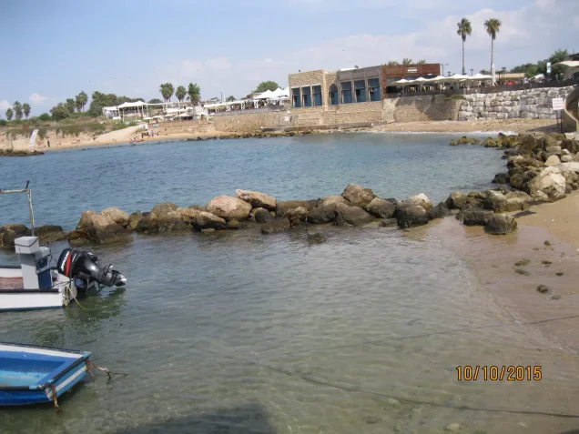

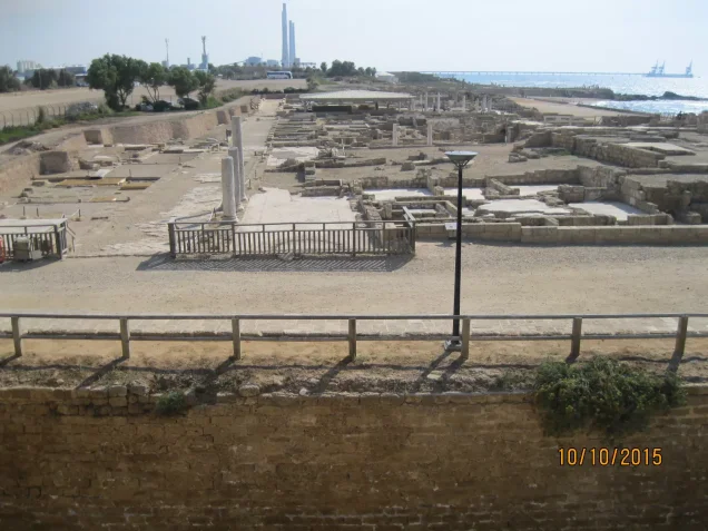
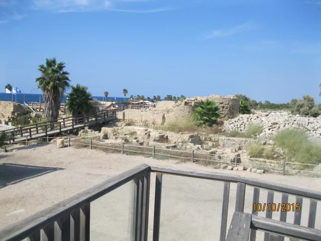

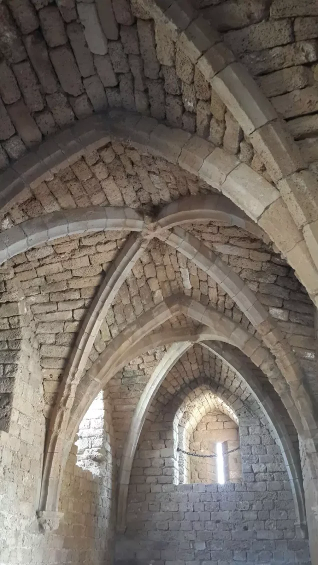
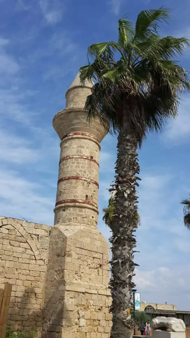
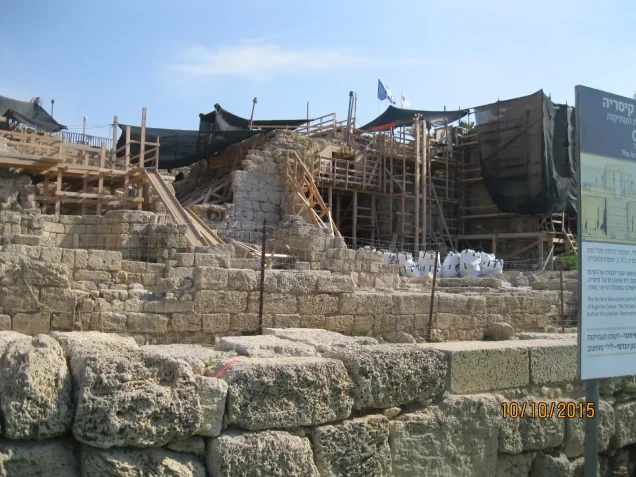
Photos from the village's people
Photos sent in by visitors and published after review.
Add a photo of this village
Log in to add photos of this village.
Other villages from Haifa
More from the archive



 Download Our Palestine App
The whole archive in the palm of your hand: depopulated villages, the Nakba, the massacres and Al-Aqsa — free, with no ads to erase the story.
Download Our Palestine App
The whole archive in the palm of your hand: depopulated villages, the Nakba, the massacres and Al-Aqsa — free, with no ads to erase the story.



Comments
No comments yet — be the first to write one.
Add your comment
Name and email are optional. Comments appear after review.