
The depopulated village of Barfiliya / District of Ramla

Barfiliya
About the depopulated village of Barfiliya
- District
- Ramla
- Date Barfiliya was occupied
- 14 July 1948
- Population in 1948
- 240
- Military operation
- Operation Dani
- Who defended the village
- Jordanian Army
- Distance from the governorate centre
- 10.5 (km) East of al-Ramla
- Elevation above sea level
- 200 m
- Cause of displacement
- Military assault by Zionist troops
- Extent of destruction
- Barfiliya was completely destroyed and defaced.
- Ethnic cleansing
- Barfiliya inhabitants were completely ethnically cleansed.
Hover a dot to read the village name, or click to open its card.
Borders of the depopulated village of Barfiliya
Barfiliya – Ramla Subdistrict
Barfiliya was a depopulated Palestinian village in the Ramla subdistrict, located approximately 10.5 km east of al-Ramla at an average elevation of about 200 meters. It stood on the edge of a wadi in the eastern part of the central coastal plain, close to the western foothills of the Ramallah highlands.
The official 1931 Census of Palestine recorded 544 inhabitants, while the 1944/45 statistics recorded 730. The village lands totaled 7,134 dunums. Israeli occupation forces captured Barfiliya during the second phase of Operation Dani in July 1948. Sources differ over the exact day: one account places the attack on 14 July, while another records an advance on 15–16 July, with contemporary reporting confirming heavy fighting around the village on 16 July.
Location of Barfiliya
Barfiliya stood on the edge of a wadi in the eastern part of the central coastal plain, in the transition zone between the plain and the western foothills of the Ramallah highlands.
A secondary road connected the village with the main road leading toward al-Ramla and other urban centers, while additional roads and tracks linked it with neighboring villages.
Palestinian village maps place 'Innaba generally to the north, al-Midya to the northeast, al-Burj to the east, Bir Ma'in to the southeast, Bayt Shanna to the south, al-Kunayyisa to the southwest, and Kharruba to the west. Khirbat Zakariyya appears in the northwestern sector of the surrounding area.
These locations describe geographical proximity rather than necessarily defining every exact cadastral boundary.
Name and Historical Background
During the Crusader period, the village was known as Porpylia and was a fief belonging to the Holy Sepulchre in Jerusalem.
In 1596, Barfiliya belonged to the nahiya of Ramla in the liwa' of Gaza and had an estimated population of approximately 44.
The villagers paid taxes on wheat, barley, sesame, fruit, vineyards, goats, and beehives, indicating a mixed agricultural and pastoral economy during the Ottoman period.
Barfiliya in the Late Nineteenth Century
Late nineteenth-century descriptions characterized Barfiliya as a small hamlet or agricultural settlement on a slope overlooking a nearby wadi. Olive cultivation was already an important activity.
In the modern period, the village acquired a rectangular layout. Most houses were constructed of adobe brick, clustered closely together and separated by narrow alleys.
New construction expanded toward the southwest along the road leading to neighboring 'Innaba.
Population of Barfiliya
- 159644Estimate derived from an Ottoman tax register; not a modern census
- 1922411Official Census of Palestine; all enumerated inhabitants were Muslims
- 1931544Official Census of Palestine; all inhabitants were Muslims
- 1944/45730Official British Mandate-era statistics
- 1948847Later estimate published by Palestine Remembered; not an official census
- 19985,200 refugees and descendantsLater demographic estimate published by Palestine Remembered
Several Palestinian secondary sources give 421 inhabitants for 1922. The original Government of Palestine census table, however, records Barfilia with 411 residents, and that official figure is used here.
Number of Houses
- 1931132Official Census of Palestine
- 1948205Later estimate published by Palestine Remembered; not an official census figure
Land Ownership
Barfiliya's registered lands totaled 7,134 dunums in 1944/45. Palestine Remembered presents the simplified ownership categories as follows:
- Palestinian7,130 dunums100%
- Transferred to Zionists0 dunums0%
- Communal/Public4 dunums<1%
PalQuest preserves the original official categories, recording 7,130 dunums as Arab and 4 dunums as Public, with no land registered in the Jewish ownership category.
Land Use in 1944/45
- Arab
- Public
- Cereals2,739 dunums
- Plantations and irrigable land241 dunums
- Built-up land17 dunums
- Non-cultivable land4,137 dunums
The land-use totals therefore balance exactly with the official ownership figures.
Palestinian sources additionally record approximately 191 dunums of olive groves. This is a crop-specific figure within the broader agricultural categories and should not be added again when calculating total land use.
Economic Life in Barfiliya
Agriculture formed the principal basis of the village economy. The residents cultivated cereals and fruit trees, including figs, lemons, olives, and grapes.
Farming combined rain-fed cultivation with irrigated orchards. In 1944/45, 2,739 dunums were devoted to cereals and 241 dunums were classified as plantations or irrigable land.
Olive growing had been significant since at least the nineteenth century, and Palestinian sources record approximately 191 dunums planted with olives during the late Mandate period.
Several small shops in the village center supplied everyday needs.
Water
The village contained remains of old cisterns, indicating a long history of water storage at the site.
The official land statistics also confirm the presence of irrigated cultivation and orchards. The principal sources reviewed, however, do not provide a securely documented list of named springs or wells that served as the village's principal water sources.
Education
An elementary school opened in Barfiliya in 1946.
It had approximately fifty pupils when it opened. The school stood among the principal public facilities of the village alongside its mosque and shops.
Mosque and Religious Life
Barfiliya's inhabitants were Muslims and the village had a mosque in its center.
The principal sources reviewed do not provide a securely documented construction date or architectural history for the mosque.
Archaeological Remains
The village contained the remains of cisterns and an ancient road, indicating older use of the site.
Northwest of the village stood Khirbat al-Wasan, which contained the remains of a vaulted stone structure, earlier building foundations, a press, rock-cut cisterns, and a shrine.
These remains point to earlier periods of settlement but cannot all be assigned a precise date without specialized archaeological investigation.
Operation Dani
Operation Dani began on 9 July 1948 and ended on 18 July. It was one of the largest Israeli offensives during the “Ten Days” of renewed fighting between the two truces.
The operation was conducted in two major phases. The first, from 9 to 12 July, focused on Lydda and Ramla. The second began on 13 July and aimed to expand eastward toward the Ramallah–Latrun road and the southern half of the Jerusalem corridor.
Several brigades participated in Operation Dani at the overall operational level, including Har'el, Yiftach, Kiryati, Alexandroni, and Etziyyoni, among other formations.
For Barfiliya itself, however, Khalidi relays a more specific account identifying units from the Giv'ati Brigade, Kiryati Brigade, and Eighth Armored Brigade as the force moving on the village.
Occupation and Depopulation of Barfiliya
The sources differ over the exact date on which the attack on Barfiliya began.
Palestine Remembered gives 14 July 1948 as the occupation date, corresponding to the date Khalidi relays from Benny Morris.
Khalidi also cites the History of the War of Independence, which states that a force composed of units from the Giv'ati, Kiryati, and Eighth Armored brigades moved on Barfiliya on 15–16 July during the second phase of Operation Dani.
A contemporary press report further confirms that intense fighting was still taking place around Barfiliya and three other villages on 16 July.
The capture of Barfiliya should therefore not be reduced with certainty to 14 July alone. The best-supported formulation is that the attack and takeover occurred during 14–16 July 1948, with sources differing on the exact day.
The fate of the civilian population is not documented in detail. Khalidi considers it probable that the inhabitants were expelled eastward, as happened to many villagers elsewhere during Operation Dani.
The villagers' displacement is therefore described as taking place in the context of the military assault and takeover of the area, without adding unsupported details about the precise circumstances of each family's departure.
Military Units
Barfiliya is one of the cases in which the village-specific narrative identifies the attacking formation more precisely than the overall Operation Dani order of battle.
Khalidi relays that the force advancing toward Barfiliya on 15–16 July included units from:
- Giv'ati Brigade.
- Kiryati Brigade.
- Eighth Armored Brigade.
This village-specific identification is more appropriate than attributing Barfiliya indiscriminately to every brigade that participated in Operation Dani.
Palestine Remembered lists the Jordanian Army as the defending force, and the Transjordanian Arab Legion was active on this front during the fighting around Latrun and the villages east of Ramla. Khalidi's Barfiliya entry, however, does not provide an independent description of a specific Jordanian garrison inside the village.
Occupation Chronology
- 9 July 1948
Beginning of Operation Dani
The major offensive to capture the Lydda–Ramla area and expand the corridor toward Jerusalem began.
- 9–12 July 1948
First phase
Operations concentrated on Lydda, Ramla, and their surrounding area.
- 13 July 1948
Beginning of the second phase
Israeli forces turned eastward toward the Ramallah–Latrun road and villages in the southern Jerusalem corridor.
- 14 July 1948
Date given by Benny Morris
This account places the attack or capture on this date, which is also the date appearing in Palestine Remembered's summary.
- 15–16 July 1948
Advance on Barfiliya
According to the military account relayed by Khalidi, units from Giv'ati, Kiryati, and the Eighth Armored Brigade advanced on the village.
- 16 July 1948
Heavy fighting around Barfiliya
A contemporary press report records intense fighting around Barfiliya and three other villages.
- In the context of the fighting and takeover, 14–16 July 1948
Depopulation
The sources do not clearly describe the villagers' fate; Khalidi considers it probable that they were expelled eastward.
- 18 July 1948
End of Operation Dani
The operation concluded after substantially expanding Israeli control across the Lydda–Ramla plain and Jerusalem corridor.
- Later; exact date not established by the principal source
Destruction of the village
Khalidi does not provide one precise date for the destruction of Barfiliya's buildings.
Refugees from Barfiliya
Palestine Remembered estimates Barfiliya's population in 1948 at approximately 847. This is a later estimate rather than an official British Mandate census figure.
The same source estimates that refugees from Barfiliya and their descendants numbered approximately 5,200 in 1998.
Khalidi considers it probable that villagers were driven eastward during Operation Dani, but the core sources do not provide a comprehensive record of the subsequent destination of every family.
Israeli Settlements on Barfiliya Village Lands
Walid Khalidi and PalQuest record no Israeli settlement as having been established on Barfiliya's village lands.
Modern urban and infrastructure development exists in the wider region around the former village site, and recent community material makes claims about the expansion of nearby development across lands of several depopulated Palestinian villages. Without independent cadastral verification, such claims should not be converted into a list of settlements on Barfiliya's land contrary to the principal village source.
Barfiliya Today
In the field description published by Walid Khalidi, the former village site was being used as a military firing range and was closed to the public.
This description does not constitute direct verification of conditions in 2026. It derives from the field research conducted for All That Remains before the book's publication in 1992.
The site's military closure at the time of the field survey also limited the possibility of providing a detailed inventory of surviving structures and archaeological remains. Its current condition therefore should not be inferred solely from the older field description without contemporary independent documentation.
Sources
- PalQuestPalQuest – Barfiliya
- PalQuestPalQuest – Operation Dani
- Palestine RememberedPalestine Remembered – Barfiliya, Ramla District
- Palestine RememberedPalestine Remembered – Barfiliya entry from Walid Khalidi's All That Remains
- Institute for Palestine StudiesInstitute for Palestine Studies – Walid Khalidi, All That Remains
- content.ecf.org.ilGovernment of Palestine – Census of Palestine 1922
- palestinapedia.psPalestinian Encyclopedia – Barfiliya
- PalQuestPalQuest – All That Remains: Methodology and Field Research
Photo gallery
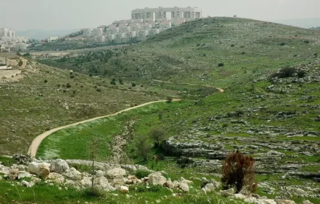

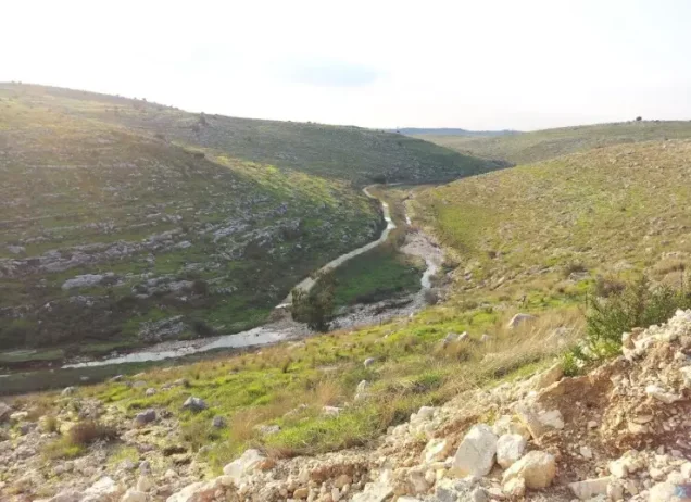
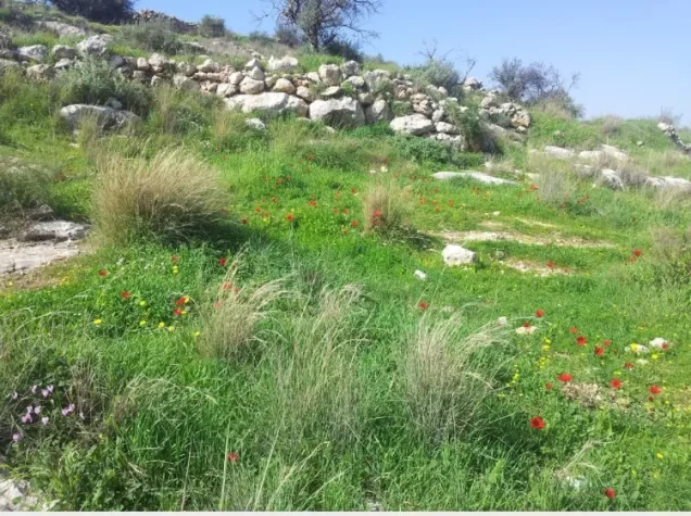
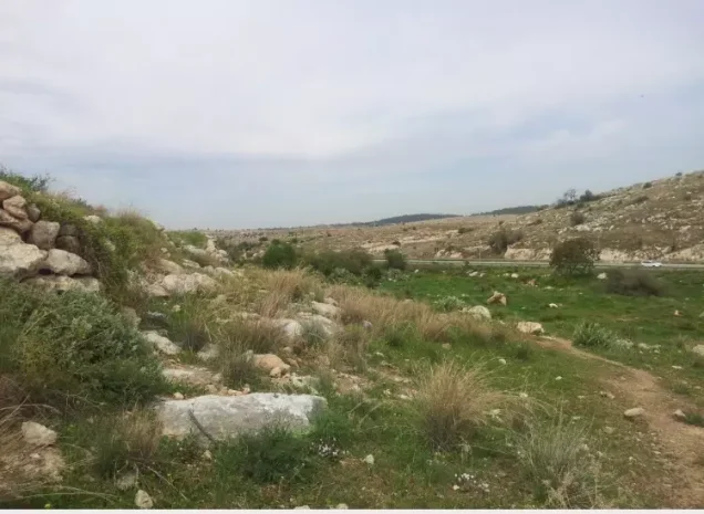
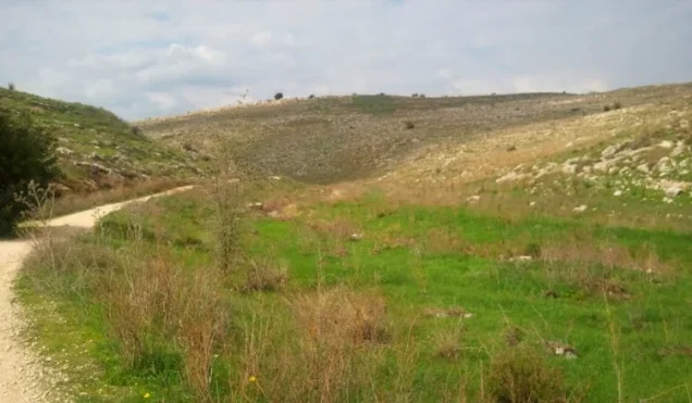
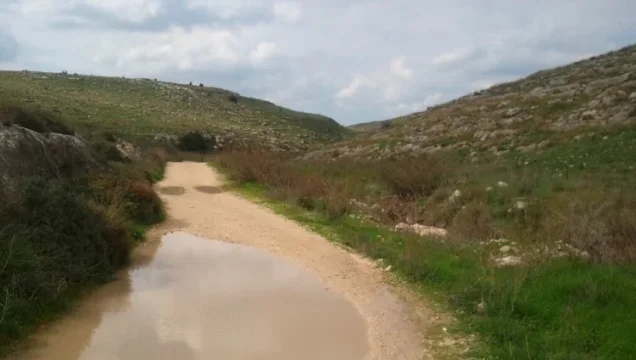
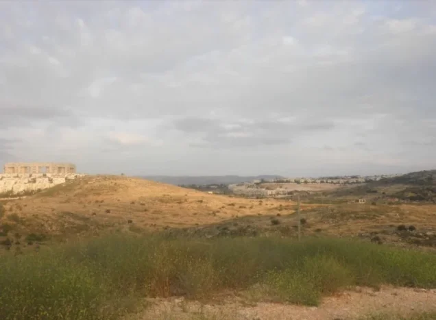
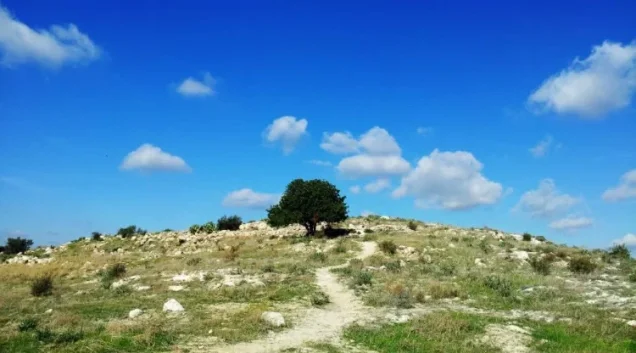
Photos from the village's people
Photos sent in by visitors and published after review.
Add a photo of this village
Log in to add photos of this village.
Other villages from Ramla
More from the archive



 Download Our Palestine App
The whole archive in the palm of your hand: depopulated villages, the Nakba, the massacres and Al-Aqsa — free, with no ads to erase the story.
Download Our Palestine App
The whole archive in the palm of your hand: depopulated villages, the Nakba, the massacres and Al-Aqsa — free, with no ads to erase the story.



Comments
No comments yet — be the first to write one.
Add your comment
Name and email are optional. Comments appear after review.