
The depopulated village of Sajad / District of Ramla
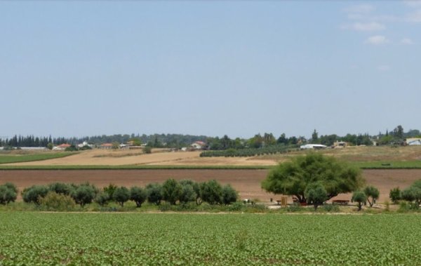
About the depopulated village of Sajad
- District
- Ramla
- Date Sajad was occupied
- 09 July 1948
- Population in 1948
- 430
- Military operation
- Operation An-Far
- Brigade that carried it out
- Givati Brigade
- Distance from the governorate centre
- 16 (km) South of al-Ramla
- Elevation above sea level
- 150 m
- Cause of displacement
- Military assault by Zionist troops
- Extent of destruction
- Sajad is most likely destroyed. Currently, its lands are being used by the Israeli army.
- Ethnic cleansing
- Sajad inhabitants were completely ethnically cleansed.
- Refugees' migration routes
- The villagers most likely fled to the Hebron area.
Hover a dot to read the village name, or click to open its card.
Borders of the depopulated village of Sajad
Sajad – Depopulated Palestinian Village of the Ramla Subdistrict
Sajad was a Palestinian village in the Ramla Subdistrict, approximately 16 kilometers south of al-Ramla. It stood in a hilly area at the eastern edge of the central coastal plain, at an average elevation of about 150 meters above sea level.
A secondary road connected the village with a highway to its north linking Gaza with the Ramla–Jerusalem road. Sajad was also among the Palestinian villages that benefited early from the railway network, with a station on the Jaffa–Jerusalem railway opened in 1892.
- Subdistrict
- Ramla
- Distance from al-Ramla
- Approximately 16 km south
- Average Elevation
- Approximately 150 meters
- Population in 1922
- 221, all Muslims
- Population in 1931
- 300 in 66 occupied houses
- Population in 1945
- 370, all Muslims
- Estimated Population in 1948
- 429 according to Salman Abu Sitta's Register – a later estimate, not an official census
- Total Land Area in 1945
- 2,795 dunums
- Beginning / Acceleration of Depopulation
- Late May–first half of June 1948, depending on the source
- Probable Final Occupation
- 9–10 July 1948
- Military Operation
- Operation An-Far
- Military Unit
- Giv'ati Brigade; its First Battalion conducted the principal Operation An-Far offensive
- Refugee Destination
- The Hebron area, according to the account reproduced by Khalidi
- Post-1948 Settlements
- No Israeli settlements are documented on Sajad village land
Location
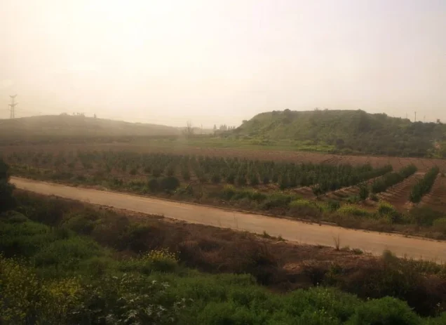
Sajad was built in hilly terrain at the eastern edge of Palestine's central coastal plain.
A secondary road linked it to a highway north of the village, connecting Gaza with the main Ramla–Jerusalem road.
Its location south of Ramla placed it between the rural communities of the southern Ramla region and major transport routes toward Gaza and Jerusalem.
The Jaffa–Jerusalem Railway
Sajad benefited early from the development of Palestine's modern railway network.
In August 1892, the Jaffa–Jerusalem railway opened under the Ottoman administration after construction by a French company, and trains stopped at Sajad.
The station linked the village directly to the transport corridor connecting the Palestinian coast with Jerusalem.
Jiftlik Land at Sajad
Sajad had an unusual land-tenure history.
The land cultivated by the villagers had originally belonged to Ottoman Sultan Abd al-Hamid II. In 1908, the Ottoman government removed it from the sultan's private holdings and classified it as state-owned jiftlik land.
The government leased this land to the villagers on long-term arrangements, and the residents continued to cultivate and use it.
This history explains why the 1945 Village Statistics classified the entire Sajad land area as Public rather than registered Arab private ownership.
Population
All recorded inhabitants of Sajad were Muslims.
- 1922221Official Census of Palestine; 102 males and 119 females
- 1931300Official Census of Palestine
- 1945370Village Statistics 1945
- 1948429Later estimate in Salman Abu Sitta's Register, not an official census
- 19982,636Estimated refugees and descendants in Abu Sitta's Register, not an independent official census
Houses
The 1931 Census of Palestine recorded 66 occupied houses in Sajad.
Some later Palestinian databases estimate approximately 94 houses for 1948, but this is a retrospective estimate rather than an official housing census and should not be treated in the same way as the 1931 figure.
Land Ownership in 1945
Sajad's total land area was 2,795 dunums.
- Arab – Registered Private Ownership0 dunums0%
- Jewish0 dunums0%
- Public / Government2,795 dunums100%
The Public/Government classification does not mean that Sajad's residents did not cultivate or use the land. It reflected the village's jiftlik tenure: government-owned land leased to villagers on long-term arrangements.
No land was recorded in the Jewish ownership category in the 1945 statistics.
Land Use in 1945
- Cereals1,687 dunums60%
- Built-up Area19 dunums<1%
- Non-Cultivable1,089 dunums39%
Cereal cultivation therefore accounted for approximately 60 percent of the village land area.
Economic Life
Sajad's economy depended principally on cereal cultivation.
Its road links and railway station also connected villagers with surrounding markets and settlements, particularly al-Ramla and communities along the Gaza–Jerusalem transport corridor.
The 1945 statistics do not record separate citrus or irrigated-plantation acreage for Sajad.
Education
Sajad did not have an independent school.
During the 1945/46 school year, children from Sajad began attending the school in nearby Qazaza, southeast of the village.
Village Houses
Homes at Sajad were constructed partly from reused building materials and stone taken from the remains and foundations of earlier settlements at the site.
The built-up area was relatively compact, amounting to approximately 19 dunums in the 1945 statistics.
Beginning of Depopulation in Late May and Early June 1948
The sources differ over the precise beginning of Sajad's final depopulation.
Salman Abu Sitta records 31 May 1948, while Palestine Remembered displays 1 June 1948.
Walid Khalidi's account states that military operations during the first half of June accelerated the evacuation of Sajad and at least fifteen other villages in the region.
Late May and the first half of June are therefore best understood as the period in which evacuation began or intensified, rather than as an unquestionably established date of final military occupation.
Operation An-Far
Operation An-Far began on 8 July 1948 and continued until 15 July.
The Giv'ati Brigade conducted the offensive on the southern front, with its First Battalion carrying out the principal operation.
The operation sought to expand Giv'ati control eastward and southward and to connect the Israeli-held coastal area with Jewish settlements in the Naqab.
PalQuest also describes the removal of civilians from the occupied area as an objective and records the displacement of inhabitants of approximately sixteen villages near the intersection of the Ramla, Gaza, and Hebron districts.
Sajad is explicitly listed among the affected villages.
Probable Final Occupation of Sajad
Walid Khalidi considers it probable that Sajad fell during the first phase of Operation An-Far on 9–10 July 1948.
The chronology therefore distinguishes between the earlier departure of some villagers or the acceleration of evacuation in late May and June and the probable final military capture of the village site in July.
The villagers reportedly moved toward the Hebron region.
Occupation and Displacement Chronology
- Until 1948
Pre-Nakba Village
Sajad had 370 inhabitants in 1945 and depended primarily on cereal cultivation on state-owned jiftlik land leased to villagers.
- 31 May 1948
Abu Sitta's Recorded Date
The Nakba Register assigns this date to Sajad and also references the first half of June.
- First half of June 1948
Acceleration of Evacuation
Khalidi records that military operations in the region accelerated the evacuation of Sajad and other nearby villages.
- 8 July 1948
Beginning of Operation An-Far
The Giv'ati Brigade launched a major offensive south of Ramla toward the Naqab.
- 9–10 July 1948
Probable Final Capture
Khalidi considers it probable that Sajad came under final military control during the first phase of Operation An-Far.
- After Displacement
Refugee Destination
The villagers reportedly moved toward the Hebron region.
Military Operation and Unit
Military Operation: Operation An-Far.
Military Unit: Giv'ati Brigade. At the operation-wide level, the First Battalion conducted the main An-Far offensive.
The available source does not identify a smaller company or platoon as the specific force that entered Sajad, so no more precise village-level attribution is made.
Cause of Displacement
The departure of Sajad's inhabitants was connected to military operations south of Ramla during late May, June, and July 1948.
The sources describe military operations as accelerating the village's evacuation, followed by Operation An-Far, whose objectives included taking control of the region and removing civilians from the occupied zone.
The most accurate formulation is therefore displacement under military pressure and attack, culminating in the village's probable final capture during Operation An-Far.
Extent of Destruction
No reliable numerical destruction percentage is available for Sajad.
Palestinian sources describe the village as depopulated and inaccessible, while Palestine Remembered considers the original built-up locality most likely destroyed.
No unsupported figure such as 90 or 100 percent is therefore used.
Settlements on Sajad Land
According to Walid Khalidi and PalQuest, no Israeli settlements were established on Sajad village land.
Military use of the land after depopulation is not classified here as the establishment of a civilian settlement.
Sajad Today
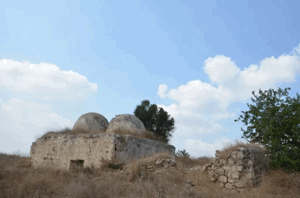
Walid Khalidi and PalQuest describe the former Sajad village site as lying within an inaccessible closed military zone.
This has limited documentation of surviving village remains compared with localities where post-Nakba field surveys were possible.
No civilian Israeli settlement is documented on Sajad's land, while the area has been used for military purposes.
This description is based on published sources and does not constitute direct field verification of the site in 2026.
Sources
- PalQuest – Interactive Encyclopedia of the Palestine Question: Sajad
- PalQuest – Operation An-Far
- Institute for Palestine Studies – Walid Khalidi, All That Remains
- Palestine Remembered – Sajad, Ramla
- Palestine Remembered – Sajad entry from All That Remains
- Government of Palestine – Census of Palestine, 1922: Sajad
- Government of Palestine – Census of Palestine, 1931: Sajad
- Village Statistics 1945 – Ramla Subdistrict: Sajad Population and Land Ownership
- Village Statistics 1945 – Sajad Land Use
- Village Statistics 1945 – Sajad Built-up and Non-Cultivable Land
- Salman Abu Sitta – Register of Depopulated Palestinian Localities: Sajad
Photo gallery

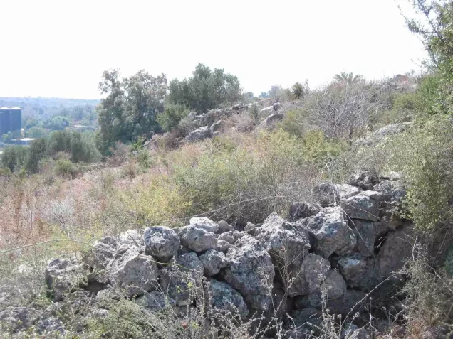
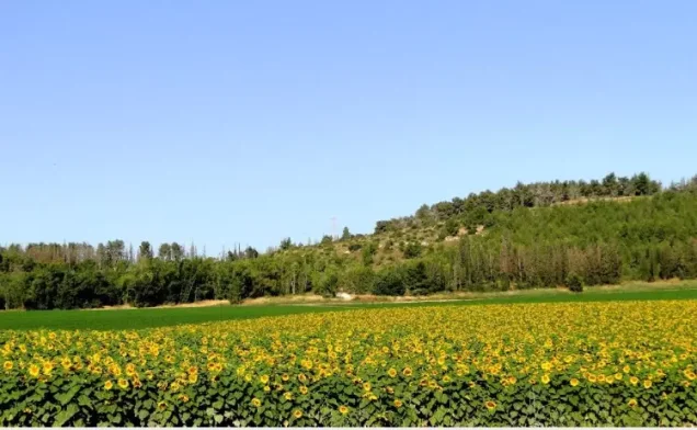
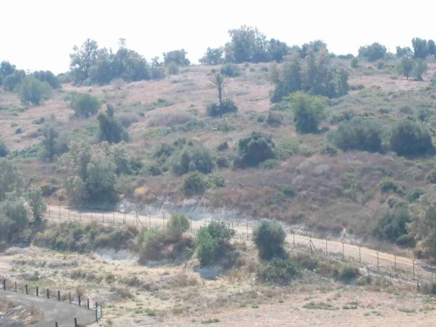

Photos from the village's people
Photos sent in by visitors and published after review.
Add a photo of this village
Log in to add photos of this village.
Other villages from Ramla
More from the archive



 Download Our Palestine App
The whole archive in the palm of your hand: depopulated villages, the Nakba, the massacres and Al-Aqsa — free, with no ads to erase the story.
Download Our Palestine App
The whole archive in the palm of your hand: depopulated villages, the Nakba, the massacres and Al-Aqsa — free, with no ads to erase the story.



Comments
No comments yet — be the first to write one.
Add your comment
Name and email are optional. Comments appear after review.